Back to overview

Bike tours

DE

Cycling from the house

Leisurely lake loops, tours on the Drava Cycle Path (Drauradweg) and sporty days on the Petzen – many of them right from our front door.

More about cycling: bike hire, guided tours, mountain biking

The tours

Routes: GPX files from the tourism region and other sources (see each tour), two lines routed approximately using OpenStreetMap; map data © OpenStreetMap contributors. Photos: Image credits.

Next: 3-Lakes Loop

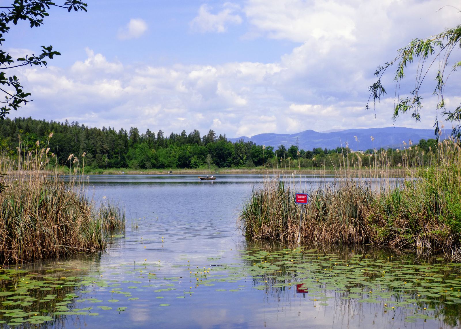
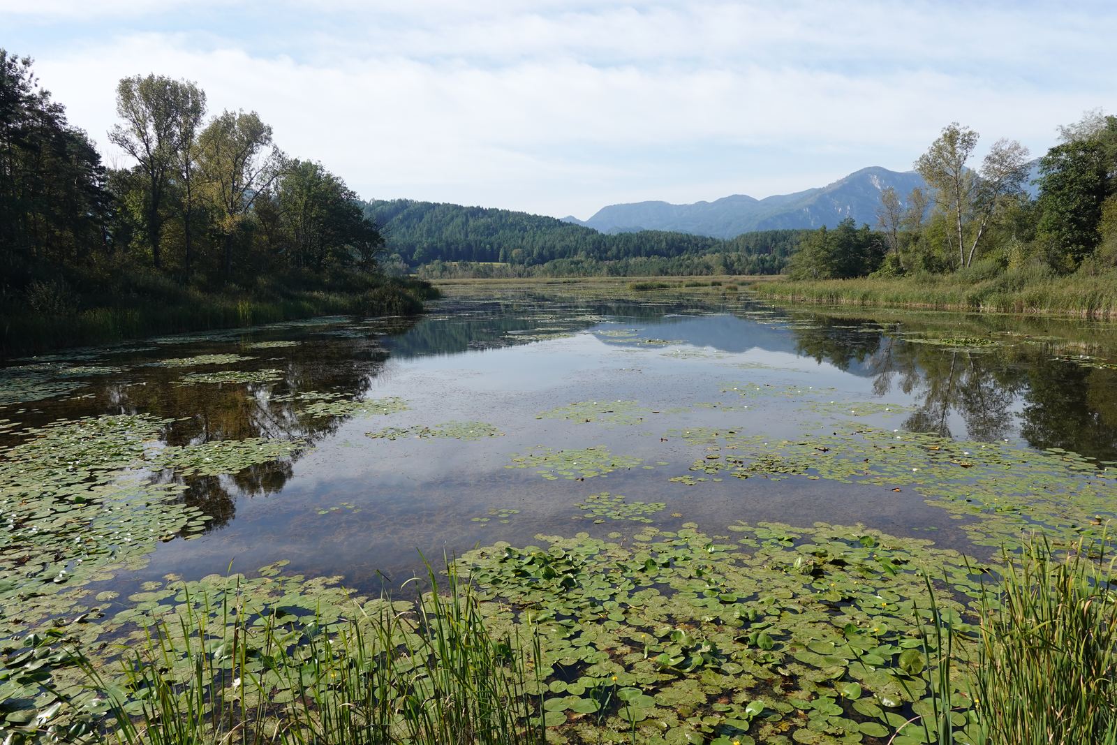
The Kleinsee near St. Kanzian in early summer: water lilies, reeds and forest, with the mountains behind

Photo: Niki.L, CC BY-SA 4.0, via Wikimedia Commons

Easy · approx. 18 km · approx. 190 m climb

3-Lakes Loop: Turnersee – Kleinsee – Klopeiner See

Start: right from the front door

E-bikeFamily

The classic lakes loop passes only about 150 m from our house: to the Turnersee with its reed-fringed bays, via Grabelsdorf and the Süduferstraße to the turquoise Klopeiner See, on to the peaceful Kleinsee and then a leisurely ride back to St. Primus via St. Veit im Jauntal – mostly on quiet, tarmac back roads and cycle paths.

St. KanzianStein i. J.
Our house Route · © OpenStreetMap contributors

Highlights

  • Bike Break at the Turnersee with an e-bike charging station
  • Kleinsee with water lilies and a belt of reeds
  • Swim stops at three lakes
  • Klopeiner See, Kleinsee and Turnersee in one loop
  • Food and drink stops: Landgasthof Piroutz, Buschenschank Kordesch
  • Starts practically on our doorstep
Start / finish
Seelach info centre on the Klopeiner See – but you can just as easily join it right by us in Lauchenholz (approx. 150 m from the house)
Route
Seelach – Klopeiner See – Steinerberg – Kleinsee – St. Veit im Jauntal – Nageltschach – St. Primus – Lauchenholz/Turnersee – Hof – Pudach – Mökriach – Grabelsdorf – Süduferstraße – Unterburg – Seelach
Surface
Quiet back roads and cycle paths, mostly tarmac (according to the route description)
Best time
May to September; in June and September with a stop for a swim
Info & GPX
outdooractive (tourism region) · suedkaernten.at
Next: 4-Lakes Loop with the Gösselsdorfer See

Water lilies in the Sablatnigmoor, with forest and the Karawanks behind

Photo: Edelmauswaldgeist, CC0, via Wikimedia Commons

Moderate · approx. 29 km · approx. 340 m climb

4-Lakes Loop with the Gösselsdorfer See

Start: right from the front door

E-bikeFamily

This extended version of the lakes loop takes you via St. Veit and the Dobrowa oak forest to Sittersdorf, to the unspoilt Gösselsdorfer See and back via Eberndorf with its abbey. Right next to the Turnersee, a detour to the Sablatnigmoor is well worth it – one of the most important bird sanctuaries in Carinthia. On an e-bike you will barely notice the little climbs between the lakes.

EberndorfSt. KanzianSittersdorfStein i. J.
Our house Route · © OpenStreetMap contributors

Highlights

  • Gösselsdorfer See and the Dobrowa oak forest
  • Stift Eberndorf (abbey)
  • Detour: Sablatnigmoor with more than 170 bird species
  • Gösselsdorfer See, known for its soothing water
  • Dobrowa oak forest
Start / finish
Seelach info centre on the Klopeiner See – or from the house via St. Veit (route approx. 1 km from the house)
Route
Seelach – Klopeiner See – Kleinsee – St. Veit im Jauntal – Obernarrach – Rückersdorf – Dobrowa oak forest – Sittersdorf – Gösselsdorfer See – Eberndorf – Buchbrunn – Unterburg – Seelach
Surface
Back roads, cycle path alongside the L117, short forest and field tracks
Best time
May to September
Info & GPX
outdooractive (tourism region)

Next: Kitzelberg loop with viewpoint

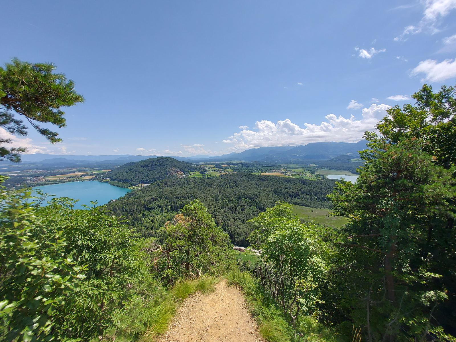
Path on the Kitzelberg with a view of the Klopeiner See and the Turnersee

Photo: Stuhlfauth Thomas, CC BY-SA 4.0, via Wikimedia Commons

Moderate · approx. 21 km · approx. 390 m climb

Kitzelberg loop with viewpoint

Start: right from the front door

For those who like things a little hillier – partly on gravel tracks: from Seelach you climb up the Kitzelberg, where a viewpoint rewards you with views over the lakes and across to the Karawanks. Then it’s an easy ride via St. Veit im Jauntal and St. Primus – right past our house – to the Sablatnigmoor and back via Grabelsdorf and Unterburg.

Highlights

  • Viewpoint on the Kitzelberg
  • Small villages of the municipality of St. Kanzian
  • Klopeiner See, Kleinsee, Turnersee

Next: 6-Lakes Loop to the foot of the Petzen

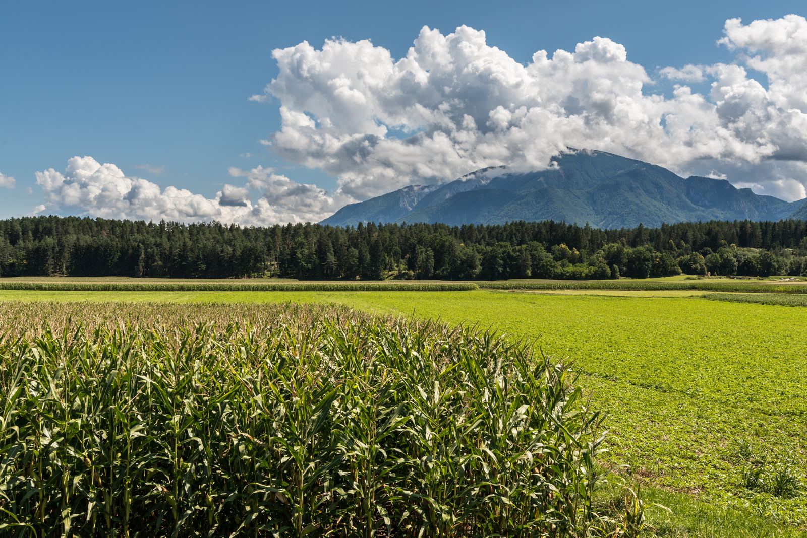
Maize fields near Gablern, with the Petzen massif under summer clouds behind

Photo: Johann Jaritz, CC BY-SA 4.0, via Wikimedia Commons

Challenging · approx. 54 km · approx. 760 m climb

6-Lakes Loop to the foot of the Petzen

Start: right from the front door

E-bike

The big lakes tour links six lakes in one day: Klopeiner See, Kleinsee, Turnersee, Gösselsdorfer See, the hidden Sonnegger See and – via Globasnitz – the Pirkdorfer See at the foot of the Petzen. The way back takes you via Loibegg and Eberndorf with its former Augustinian canons’ abbey – a day to savour, with ever-changing views of the Karawanks.

EberndorfSt. KanzianSittersdorfGlobasnitzStein i. J.
Our house Route · © OpenStreetMap contributors

Highlights

  • Six lakes in one day
  • Pirkdorfer See with views of the Petzen
  • Stift Eberndorf (abbey)
  • Pirkdorfer See at the foot of the Petzen
  • Stift Eberndorf (abbey), Sablatnigmoor
Start / finish
St. Kanzian bike info point – you can also join right by the house (approx. 150 m)
Route
St. Kanzian – Klopeiner See – Kleinsee – St. Primus – Turnersee – Sablatnigmoor – Gösselsdorfer See – Sittersdorf – Sonnegger See – Jaunstein – Globasnitz – Pirkdorfer See – Loibegg – Eberndorf – Unterburg – St. Kanzian
Surface
Back roads and cycle paths, one stretch on the cycle path alongside the main road
Best time
May/June and September – in high summer with swim stops
Info & GPX
outdooractive (tourism region)

Next: Drava Loop

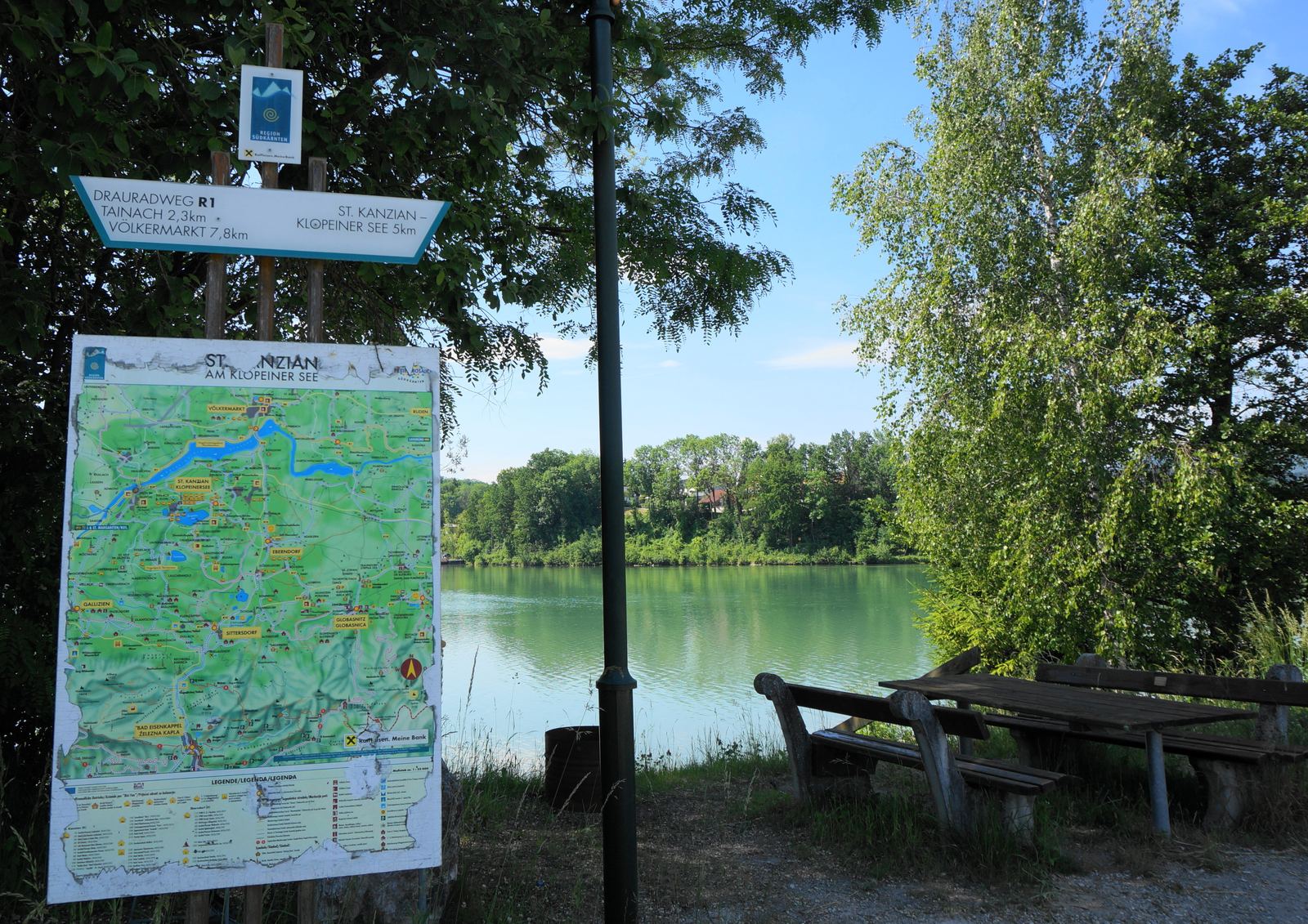
Rest area on the Drava Cycle Path R1 near St. Kanzian with signpost, cycling map and a view of the Drava

Photo: Naturpuur, CC BY-SA 4.0, via Wikimedia Commons

Easy · approx. 32 km · approx. 200 m climb

Drava Loop: Völkermarkter Stausee & Drava Cycle Path R1

Start: right from the front door

E-bikeFamily

North of our house, the Drava is dammed to form the Völkermarkter Stausee, a reservoir some 21 km long. Via St. Kanzian and Untersammelsdorf you reach the Drava Cycle Path R1 – one of the most popular river cycle routes in Austria – and ride through the woods along the water to the Völkermarkt Drava bridge. On the other bank you continue via Neudenstein to the Tainach Drava bridge and back via Stein im Jauntal. The e-bike takes care of the climb from the reservoir up to the lakes.

VölkermarktEberndorfSt. KanzianStein i. J.
Our house Route · © OpenStreetMap contributors

Highlights

  • Drava Cycle Path R1, awarded 5 stars by the ADFC
  • Crossing the Drava twice, wide views across the reservoir
  • Vogelschutzgebiet Neudenstein (bird sanctuary), churches of Stein im Jauntal
  • Crossing the Drava twice, views across the reservoir
  • Vogelschutzgebiet Neudenstein (bird sanctuary)
  • Churches of Stein im Jauntal
Start / finish
Seelach info centre on the Klopeiner See (4 km from the house)
Route
Seelach – St. Kanzian – Untersammelsdorf – St. Lorenzen – Drava Cycle Path through the woods – Völkermarkt Drava bridge – Neudenstein – Tainach Drava bridge – Stein im Jauntal – Littermoos – Seelach
Surface
Cycle paths and back roads, a stretch through the woods on the Drava Cycle Path
Best time
May to September – flat and easy to ride
Info & GPX
outdooractive (tourism region)

Next: Gracarca & Georgiberg

Moderate · 16.5 km · 420 m climb · Loop

Gracarca & Georgiberg (Bike & Hike)

Starts 5 km from the house

E-bike

St. KanzianStein i. J.
Our house Route · © OpenStreetMap contributors

Highlights

  • Gracarca, a Celtic settlement hill with a heritage trail
  • Georgikapelle with its wishing bell
  • Views of the Klopeiner See
Start / finish
Car park on the L119 / Klopein roundabout (5 km from the house)
Route
Klopein – south shore path – forest road to the Gracarca (on foot to the summit, 687 m) – Danielkapelle – Grabelsdorfer Kreuz – Mökriach – Oberburg – on foot to the Georgikapelle – Unterburg – north shore
Surface
One third each tarmac, gravel and natural trail; short walks up to the summits
Best time
May, June and September – in high summer, set off early
Tip
Trekking or mountain bike/e-MTB; sturdy shoes for the short walks to the summits
Info & GPX
outdooractive (Alpine Club Linz)

Next: Through the Vellach valley to Bad Eisenkappel

Moderate · approx. 29 km · approx. 370 m climb · Out & back

Through the Vellach valley to Bad Eisenkappel

From the house

E-bikeFamily

EberndorfBad EisenkappelSittersdorfGallizien
Our house Route (approximate) · © OpenStreetMap contributors

Highlights

  • Valley cycle path between the Obir and the Petzen
  • Bad Eisenkappel with its Geopark information centre
  • Detour: Obir-Tropfsteinhöhlen (show caves), Trögerner Klamm gorge
Start / finish
From the house – turning point at the main square in Bad Eisenkappel (just over 14 km each way)
Route
St. Primus – Miklauzhof – Vellach valley cycle path along the river – Bad Eisenkappel; back the same way
Surface
Back roads, from Miklauzhof mostly cycle path along the Vellach
Best time
May to September; pleasantly cool in the valley in high summer
Info & GPX
Geopark Karawanken · suedkaernten.at

Next: Kunst-Radweg Bleiburg & Jauntalbrücke

Moderate · 22.6 km · 273 m climb · Loop

Kunst-Radweg Bleiburg & Jauntalbrücke

Starts 25 km from the house (approx. 25 min by car)

E-bikeFamily

VölkermarktBleiburgEberndorfSt. KanzianRudenSittersdorfGlobasnitzStein i. J.
Our house Route · © OpenStreetMap contributors

Highlights

  • Jauntalbrücke, at 96 m one of the highest railway bridges in Europe
  • Bleiburg: Kiki Kogelnik fountain, Werner Berg Museum
  • Artworks along the way
Start / finish
Lippitzbach bridge near Ruden (25 km / approx. 25 min by car)
Route
Lippitzbach bridge – Dobrowa – Jauntalbrücke – Aich/Dob – Bleiburg (main square) – Moos/Blato – Replach – Rinkenberg – Lippitzbach bridge
Surface
Mostly tarmac back roads, short gravel section
Best time
May to September
Info & GPX
outdooractive (tourism region)

Next: From Lavamünd to the Klopeiner See

Easy · 35.2 km · 187 m climb · One way

From Lavamünd to the Klopeiner See

Ends 4 km from the house – starts in Lavamünd (40 km)

E-bikeFamily

VölkermarktBleiburgEberndorfSt. KanzianBad EisenkappelGriffenLavamündMežicaPrevaljeRudenSittersdorfGlobasnitzStein i. J.
Our house Route · © OpenStreetMap contributors

Highlights

  • Almost always gently downhill towards home (187 m ↑, 70 m ↓)
  • Sculptures along the Kunst-Radweg (art cycle path)
  • Heiligengrab pilgrimage church
Start / finish
Lavamünd Drava bridge → Klopeiner See (Wasserhofen), from there 4 km to the house
Route
Lavamünd – Neuhaus – Unterndorf – Oberndorf – Kunst-Radweg – Aich – Heiligengrab – Einersdorf – Moos – Replach – Kühnsdorf – Wasserhofen – Klopeiner See
Surface
Just over four fifths tarmac or back roads, the rest natural trails and wooden boardwalks
Best time
May to September
Tip
Get to Lavamünd by car (40 km, approx. 40 min) or in summer by the Petzen–Lavamünd bike bus (check the timetable)
Info & GPX
outdooractive (Alpine Club) · Bike bus (suedkaernten.at)

Next: Across the Drava to Klagenfurt

Easy · 32 km · 150 m climb · One way

Across the Drava to Klagenfurt

Starts 4 km from the house, return by train

E-bikeFamily

KlagenfurtSt. KanzianFerlachGrafensteinSittersdorfGallizienStein i. J.
Our house Route · © OpenStreetMap contributors

Highlights

  • Back in about 10 minutes on the Koralmbahn to Kühnsdorf-Klopeiner See
  • Klagenfurt old town, the Lindwurm (dragon fountain), Wörthersee
  • Can be extended along the south shore of the Wörthersee
Start / finish
Klopeiner See → Klagenfurt (youth hostel / east bay of the Wörthersee)
Route
Klopeiner See – St. Kanzian – Seidendorf Drava bridge – Grafenstein (short steep climb) – R6 cycle path – Klagenfurt
Surface
Mostly tarmac and quiet roads, short stretches of natural trail – also described as a barrier-free handbike stage
Best time
May to September
Tip
Please check bike carriage and reservations with ÖBB in advance; from Kühnsdorf station it is 9 km to the house
Info & GPX
outdooractive (Austrian Alpine Club inclusion team) · ÖBB Rail & Bike

Next: Borderland Tour Lavamünd – Dravograd – Slovenj Gradec

Moderate · 45.5 km · 302 m climb · Loop

Borderland Tour Lavamünd – Dravograd – Slovenj Gradec

Starts in Lavamünd, 40 km from the house

E-bikeFamilySlovenia

VölkermarktBleiburgEberndorfSt. KanzianBad EisenkappelGriffenLavamündDiexDravogradMežicaPrevaljeSlovenj GradecRudenSittersdorfGallizienGlobasnitzStein i. J.
Our house Route · © OpenStreetMap contributors

Highlights

  • Cycling without borders along the Drava and the Mislinja
  • Dravograd with its Drava hydroelectric plant, Slovenj Gradec with its old town and museums
  • Patek mill, Schloss Leifling
Start / finish
Lavamünd (40 km / approx. 40 min by car)
Route
Lavamünd – Drava bridge – Unterpudlach – Libeliče – Dravograd – Slovenj Gradec – Dravograd – Drava Cycle Path R1 – Lavamünd; short version only as far as Dravograd
Surface
Tarmac throughout, largely cycle paths and old railway lines
Best time
May to September
Tip
Take your ID with you. Short version Lavamünd–Dravograd–Lavamünd for families
Info & GPX
outdooractive (KSL tourism board)

Next: Beneath the Petzen

Challenging · approx. 37 km · approx. 700 m climb · Out & back

Beneath the Petzen: Bleiburg – Mežica

Starts in Bleiburg, 24 km from the house

E-bikeSlovenia

VölkermarktBleiburgEberndorfSt. KanzianBad EisenkappelMežicaPrevaljeRudenSittersdorfGlobasnitzStein i. J.
Our house Route (approximate) · © OpenStreetMap contributors

Highlights

  • Guided underground cycling through the former mine beneath the Petzen (Podzemlje Pece)
  • Geopark Karawanken without borders
  • A constant 10 °C inside the mountain – even on hot days
Start / finish
Bleiburg (24 km / approx. 25 min by car) – Glančnik Geopark information centre in Mežica (18 km each way)
Route
Bleiburg – Loibach – Holmec border crossing – Prevalje – Meža valley – Mežica (Glančnik); back the same way
Surface
Tarmac roads, partly with traffic; gravel inside the mine tunnel
Best time
May to September; mine tour all year round with advance booking
Tip
Mine tour by advance booking only (Podzemlje Pece, ages 10 and up, approx. 2.5 hours, bike, helmet and lamp included). Take your ID with you
Info & GPX
Geopark Karawanken: Underground Biking · Podzemlje Pece

Next: Diex Sunshine Loop

Challenging · 76.3 km · 950 m climb · Loop

Diex Sunshine Loop

Starts 4 km from the house

E-bike

VölkermarktBleiburgEberndorfSt. KanzianGriffenDiexGrafensteinRudenGallizienGlobasnitzStein i. J.
Our house Route · © OpenStreetMap contributors

Highlights

  • Diex, the sunny village on the Saualpe, with its fortified church
  • Wide views across the Jauntal to the Karawanks
  • Mittertrixen vineyards, Stift Griffen (abbey), Völkermarkt
Start / finish
Klopeiner See tourist information (4 km from the house)
Route
Klopeiner See – Untersammelsdorf – St. Marxen – Drava bridge – Neudenstein – St. Margarethen ob Töllerberg – Mittertrixen – Haimburg – Griffen – Grafenbach – Diex – Völkermarkt – Kühnsdorf – Klopeiner See
Surface
Tarmac roads (described as a road-bike tour)
Best time
May to September – ideal on clear late-summer days
Tip
Easily manageable on an e-bike – make sure you have enough battery for 950 metres of climbing (you can charge it overnight at our place, free of charge)
Info & GPX
outdooractive (tourism region)

Back to overview · Deutsch