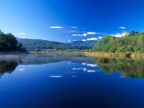
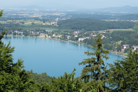
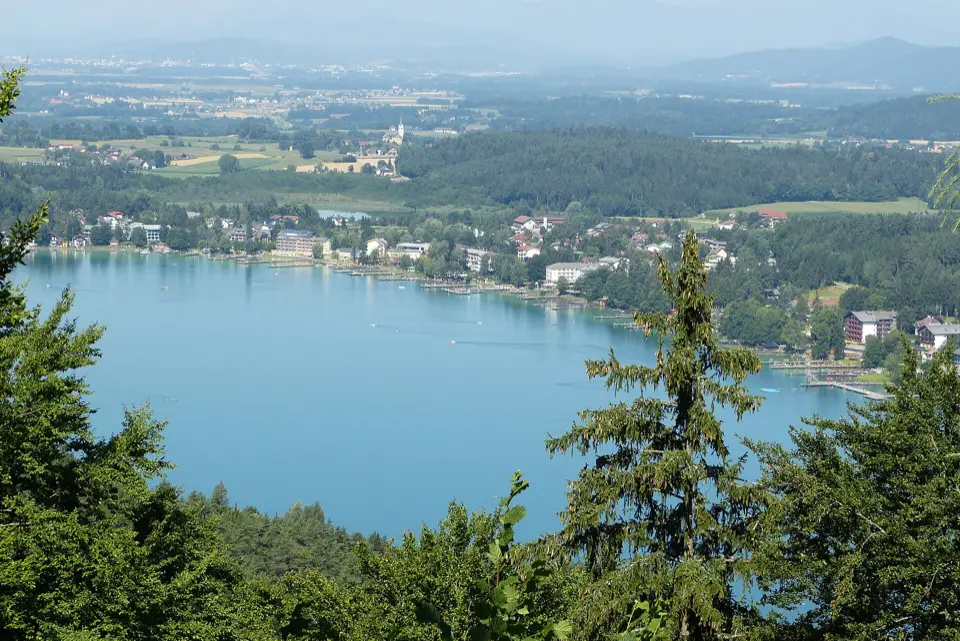
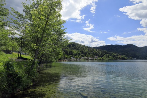
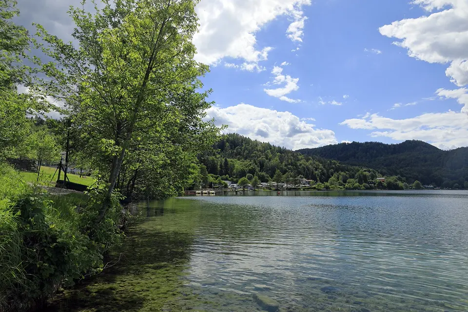
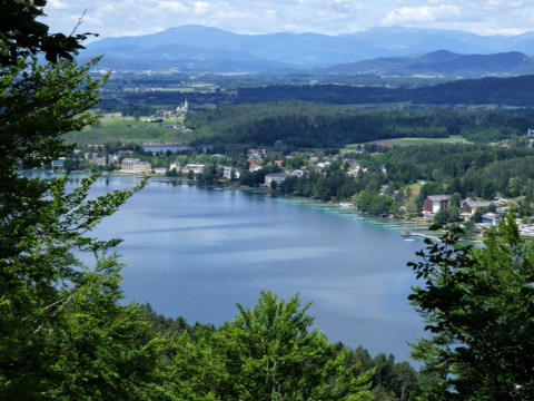
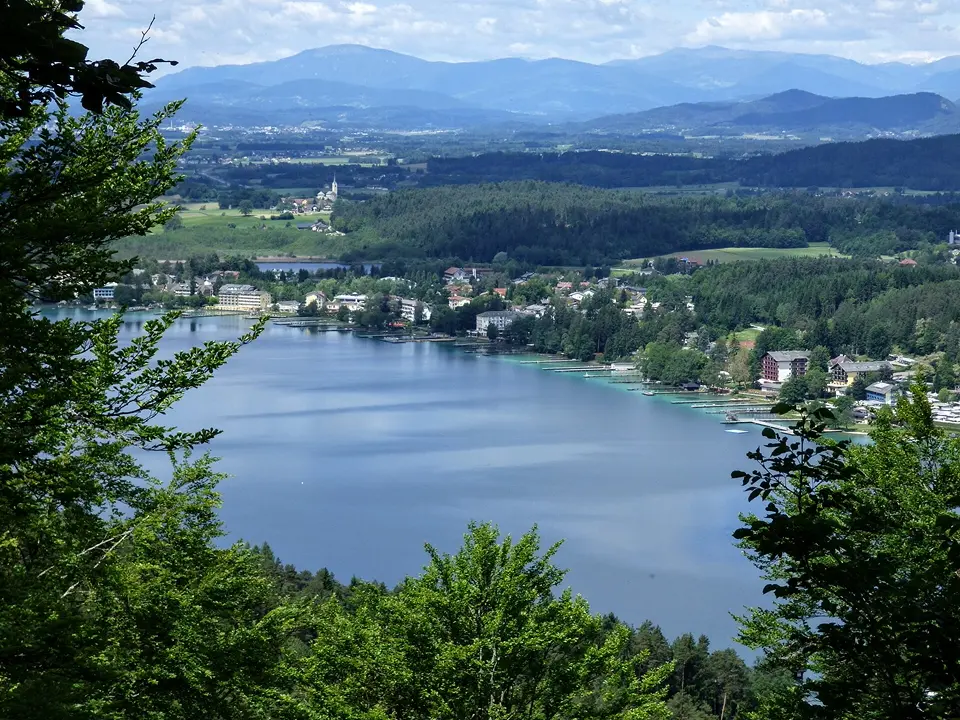
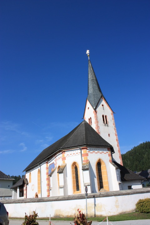
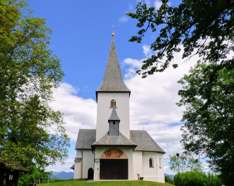
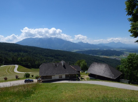
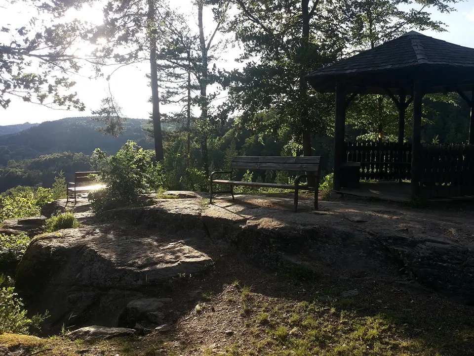
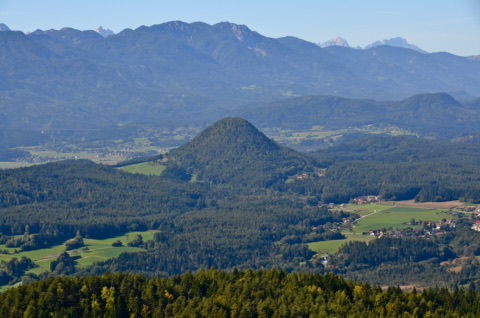
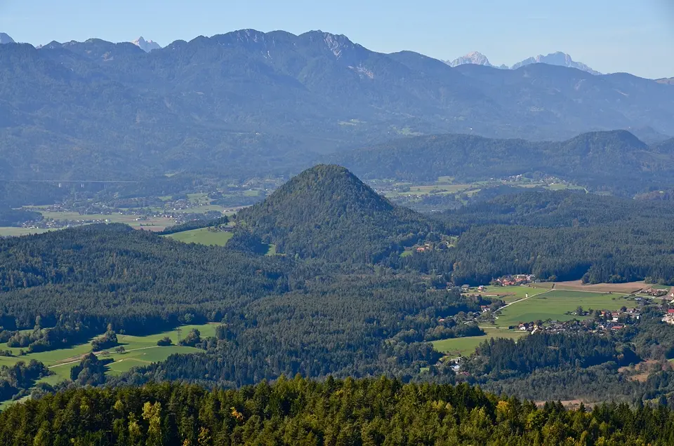
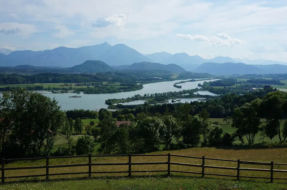
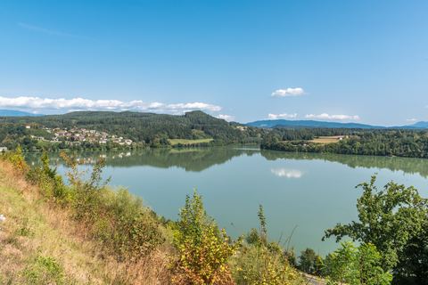
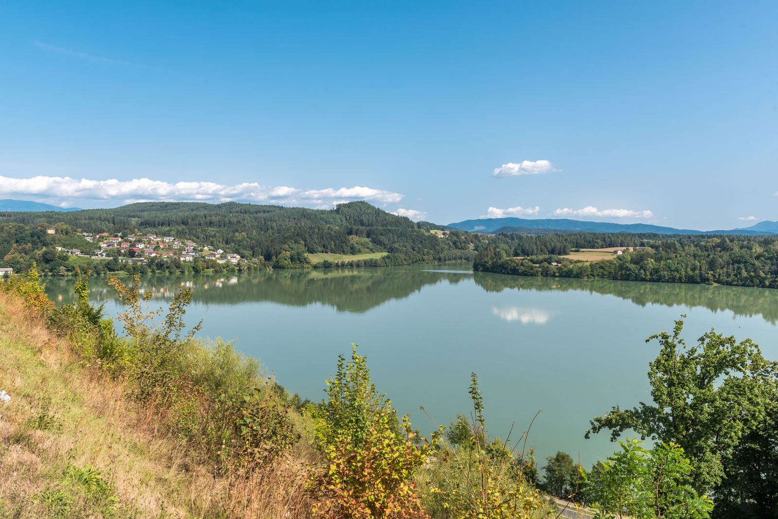
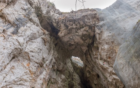
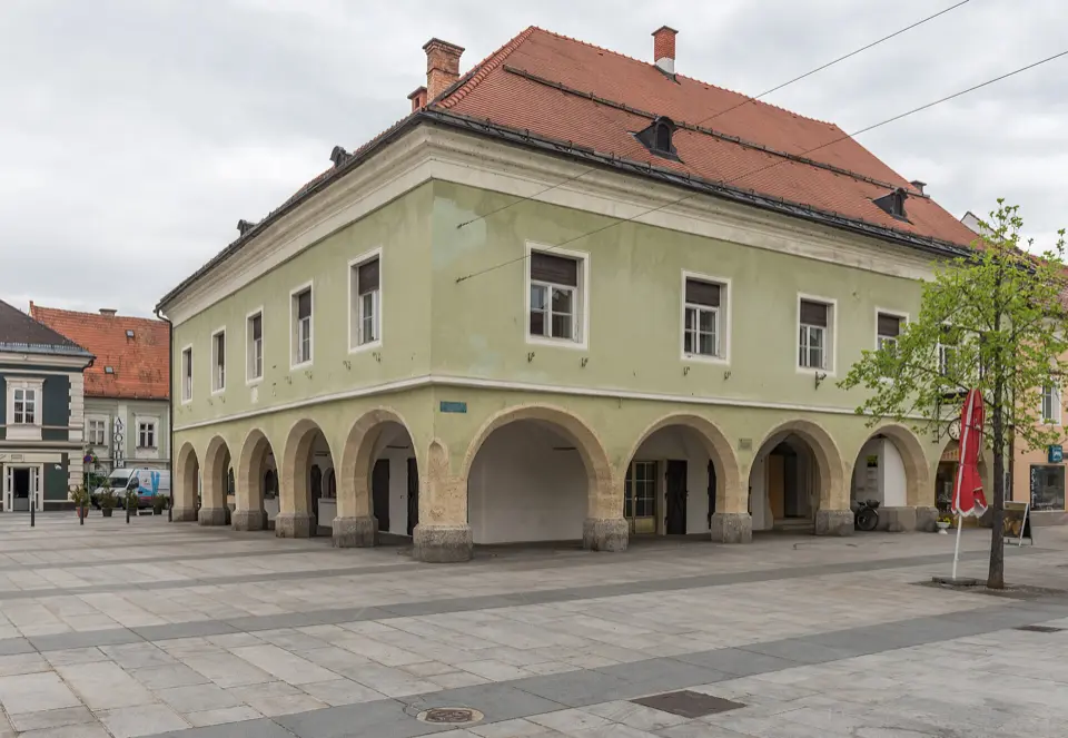
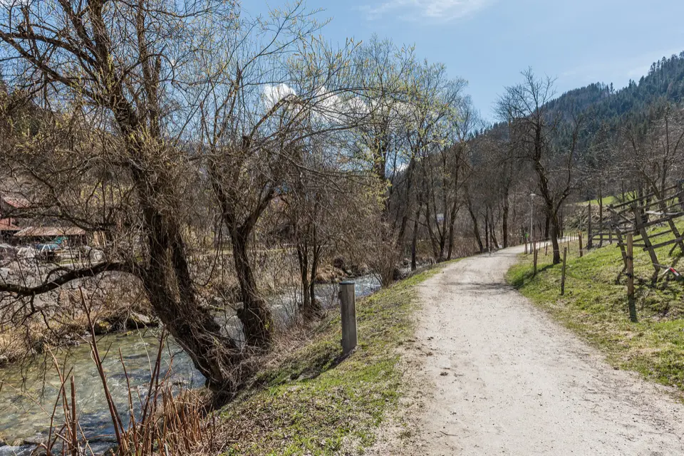
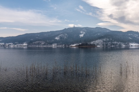
A lovely walk from the front door, a viewpoint for the sunset or a cool gorge on hot days: circular walks, waterfalls, ravines and quiet spots in nature.
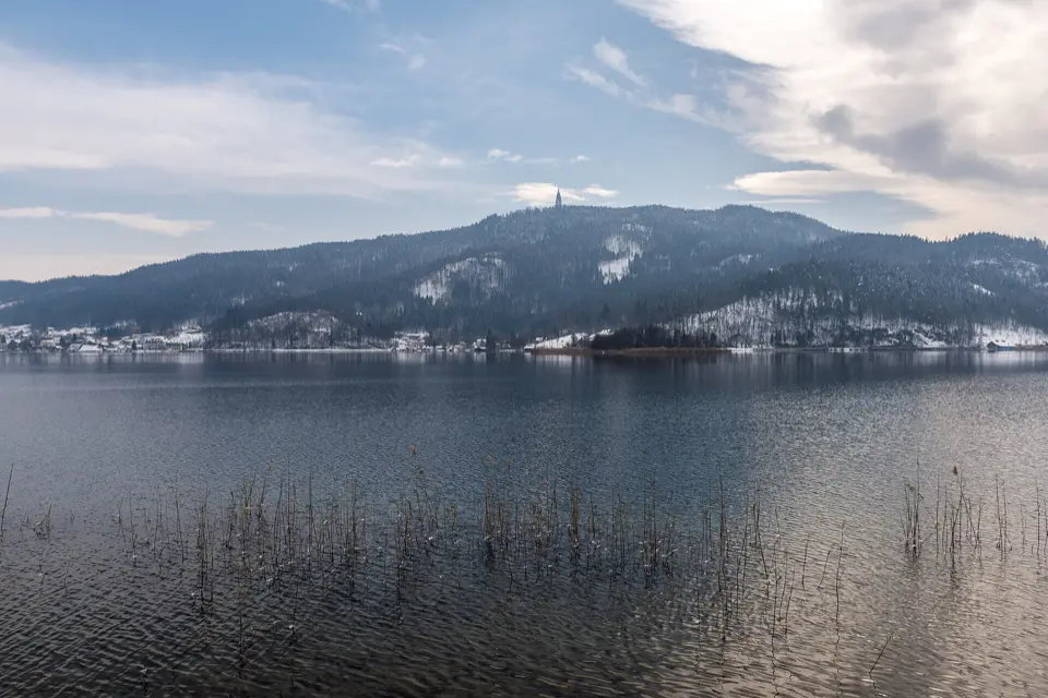
Slow Trail Turnersee Panorama Tour1.2 km · 16 min on foot · 2 min by bikeThe Slow Trail Turnersee Panorama Tour is an almost level loop around the Turnersee.
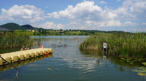
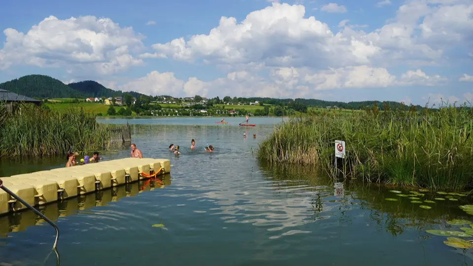
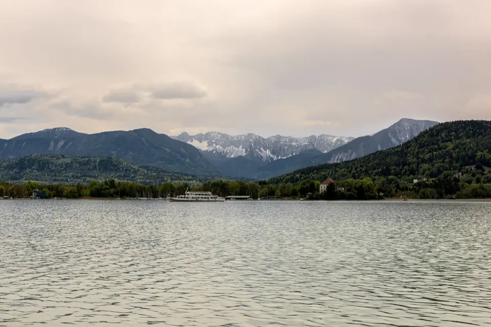
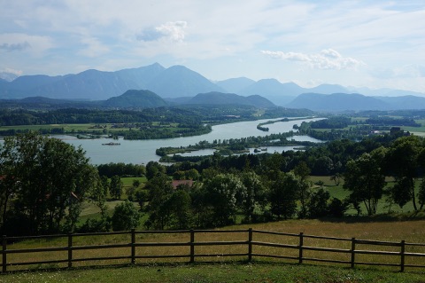
The Slow Trail Turnersee Panorama Tour is an almost level loop around the Turnersee. It starts at the “Bike Break” rest area by the lido with the Moskito Bar in St. Primus. The path leads through shady woods, across flower meadows and past reed beds and moorland of an EU protected area, home to rare plants and animals. Along the way there are old farmhouses and wayside shrines. Near Obersammelsdorf a viewing plateau looking across the lake to the Karawanks invites you to take a break.
The 7.3 kilometres with only around 40 metres of ascent take about an hour and three quarters – easily doable with children too. Some sections run along quiet paved roads via Lanzendorf, Obersammelsdorf and Unternarrach. On the way you pass the Landgasthof Piroutz and the Buschenschenke Kordesch by the Sablatnigmoor. Back at the start, a 7-metre climbing tower shaped like a water lily, a drinking fountain with fresh spring water and the lido await you.
All year, at its best May–October
Bike Break Turnersee, Strandbad Moskito Bar, St. Primus, 9122 St. Kanzian am Klopeiner See
At a glance
Loop 7.3 km, approx. 40 m ascent
Walking time approx. 1 h 45 min
Viewing plateau near Obersammelsdorf
Water-lily climbing tower (7 m) and drinking fountain at the start
Our tips
Bring your swimming things – the lido at the start is the perfect way to finish.
If you’d like to stop for food, check the opening times of Piroutz or Kordesch beforehand.
The podcast episode “Die Zeit braucht ein Zuhause” (kaernten.at) accompanies the loop.
Slow Trails with podcast (Kitzelberg & Turnersee)1.2 km · 16 min on foot · 2 min by bikeFor each of the region’s two Slow Trails, up the Kitzelberg and around the Turnersee, there’s a podcast episode of its own on kaernten.at: “Der Kitzelberg” (episode 4) and “Die Zeit braucht ein Zuhause” (episode 12).
For each of the region’s two Slow Trails, up the Kitzelberg and around the Turnersee, there’s a podcast episode of its own on kaernten.at: “Der Kitzelberg” (episode 4) and “Die Zeit braucht ein Zuhause” (episode 12). The episodes (in German) tell of the landscape and its people and invite you to walk more slowly and look more closely. Download them to your phone beforehand and listen on the way or at the viewing platform.
All year, at its best May–October
Bike Break Turnersee, Strandbad Moskito Bar, St. Primus, 9122 St. Kanzian am Klopeiner See
At a glance
Episode 4: “Der Kitzelberg” (6.8 km)
Episode 12: “Die Zeit braucht ein Zuhause” (Turnersee, 7.3 km)
Free online, linked on kaernten.at
Our tip
Wear just one earbud – then you’ll still hear the birds and cyclists.
Sablatnigmoor3.3 km · 44 min on foot · 13 min by bike · 9 min by carRight next to the Turnersee lies one of the most valuable wetlands in Austria: the Sablatnigmoor.
Right next to the Turnersee lies one of the most valuable wetlands in Austria: the Sablatnigmoor. Together with the Turnersee it is a remnant of a large lake from the last Ice Age. It has been a nature reserve since 1979, was declared a Biogenetic Reserve by the Council of Europe in 1988, and has been an internationally protected Ramsar wetland since 1992. More than 170 bird species have been observed here – among them great crested grebes, little grebes and, with a bit of luck, the brilliant blue kingfisher.
The Natura Trail, a circular path of about 4.5 km, leads through the area in around an hour. Along the way there is a bird-watching tower and the Tomar-Keusche, a lovingly restored observation station and visitor centre of the nature conservation association. In the summer months the association offers ecological and ornithological guided tours – an experience for nature explorers big and small.
Accessible all year round; guided tours in the summer months
At a glance
Nature reserve since 1979, Biogenetic Reserve (Council of Europe) since 1988, Ramsar site since 1992, European protected area since 2008
Around 100 ha, an Ice Age relic together with the Turnersee
More than 170 bird species recorded (including great crested grebe, little grebe, kingfisher)
Natura Trail: circular path approx. 4.5 km, approx. 1 h
Bird-watching tower and the Tomar-Keusche visitor centre
Our tips
Pack binoculars and go early in the morning or in the evening – that is when the birds are most active.
Please stay on the paths and keep dogs on a lead – this is a sensitive protected area.
Ideal combined with an afternoon’s swimming in the Turnersee.
Rail & Trail: Discovering the magic of the Klopeiner See4.1 km · 12 min by bike · 6 min by carThis circular hike starts at the tourist information office in Klopein and first follows the lakeside promenade along the south shore to the “Klopeiner-See-Blick” viewpoint.
This circular hike starts at the tourist information office in Klopein and first follows the lakeside promenade along the south shore to the “Klopeiner-See-Blick” viewpoint. Then it continues over the wooded flank of the Gracarca and along small roads across the Grabelsdorf plateau, with views of the Karawanks and the Kamnik Alps (Steiner Alpen). On the way back you pass Iron Age burial mounds, the Danielkirche and the remains of a hilltop settlement that some believe to be the legendary Celtic Noreia.
A short detour leads up the Georgiberg with the little Georgikircherl church, its wishing bell and views across the Jauntal; then you head down to the lake and back along the north-shore promenade. Allow about three hours for 9.9 kilometres and a good 320 metres of ascent. The forest paths are steep in places, so sturdy shoes are a must. The route is digital only (Rail & Trail app) and not signposted all the way.
All year, at its best May–October
Tourismusinformation Klopeiner See, Schulstraße 10, 9122 St. Kanzian am Klopeiner See
At a glance
Circular route 9.9 km, approx. 3 h, 326 m of ascent
Start/finish: tourist information Klopein, bus stop “Am See IV”
Moderate difficulty (T2), steep forest paths in places
Georgiberg 624 m with the Georgikircherl and wishing bell
Our tips
Load the route into the Rail & Trail app beforehand, as it is not marked all the way on the ground.
On hot days, start early and go for a swim in the Klopeiner See afterwards.
Around the Klopeiner See4.5 km · 14 min by bike · 5 min by carYou can walk all the way around the Klopeiner See on shoreline paths and the lakeside promenade – one of the few continuous lakeside promenades in Carinthia.
You can walk all the way around the Klopeiner See on shoreline paths and the lakeside promenade – one of the few continuous lakeside promenades in Carinthia. The circuit is around 5.3 kilometres long and almost flat. Without breaks it takes you a good hour. Along the lively north shore there is one lido, café and ice-cream parlour after another, while the south shore between Seelach and Unterburg is quieter and more wooded. There you’ll also find spots with free access to the water.
The circuit is ideal for an evening or a morning with children; the path is mostly surfaced and suitable for pushchairs. You can start at any point, and the lido on the west shore is a handy place to begin. In summer you can swim along the way. A towel in your rucksack is all you need, as the lake warms up to over 25 °C in high summer. Dogs on a lead are allowed on the path, but usually not in the lidos.
All year, places to eat and swimming May–September
Strandbad Klopeiner See, Südpromenade, 9122 St. Kanzian am Klopeiner See
At a glance
Length approx. 5.3 km, almost no climbing
Walking time a good hour without breaks
Mostly surfaced, suitable for pushchairs
Places to eat and swim all around the lake
Our tips
Early in the morning or in the evening, the promenade on the north shore is much quieter than in the afternoon.
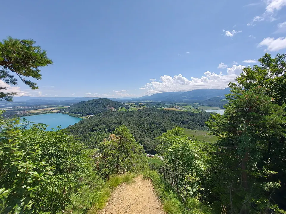
A short detour from the south shore to the viewing platform on the Kitzelberg adds a lovely view to the circuit.
Grand loop: Klopeiner See – Georgiberg – Gracarca – Danielkapelle – Turnersee5 km · 16 min by bike · 7 min by carThis day hike from the Alpenverein Klagenfurt links the two lakes with the hills in between.
This day hike from the Alpenverein Klagenfurt links the two lakes with the hills in between. You start on the lakeside promenade on the north shore of the Klopeiner See, follow the shore eastwards and then climb up to the Georgiberg with its little church and wishing bell. Path 5 takes you on to the Gracarca, a hill settled since early historic times, and to the Danielkapelle, where a meadow in front of the chapel invites you to take a break.
Via Grabelsdorf, paths 3, 5, 6 and 12 lead down to the Turnersee, which you walk around between the Sablatnigmoor and the shore before returning to the Klopeiner See. At 16 kilometres and just under 400 metres of ascent, the loop is best suited to walkers with stamina. A large part runs on tarmac and forest roads, so good trainers or light hiking boots are enough. Take plenty of water, as there are hardly any places to stop for food or drink along the way.
April–October
Seepromenade Klopeiner See, Nordufer, 9122 St. Kanzian am Klopeiner See
At a glance
16.2 km, approx. 4.5 h walking time
Approx. 385 m of ascent and descent each, highest point 685 m
Difficulty T2, good fitness needed
Loop starting on the lakeside promenade, north shore of the Klopeiner See
Our tips
As the loop passes the Turnersee, you can also join it right there and take your break at the Klopeiner See.
Avoid the variant via the Dreiseenblick viewpoint: parts of it have no path.
Rail & Trail: On sacred paths across the Jauntal plain28 km · 30 min by carThis point-to-point hike starts at Wiederndorf-Aich station and leads almost in a straight line across the Jauntal plain back to Kühnsdorf.
This point-to-point hike starts at Wiederndorf-Aich station and leads almost in a straight line across the Jauntal plain back to Kühnsdorf. First you follow forest tracks and paths between fields, with views of the Karawanks and the Petzen, to the farming village of Rinkenberg with its parish church of St Florian. There you follow the Way of St James over a wooded ridge, through the hamlet of Rinkolach with its church of St Oswald and through the valley of the Globasnitzbach.
On narrow roads through open farmland and through woods near Pribelsdorf you reach Kühnsdorf, where the walk ends in the shady Valentin-Leitgeb-Park with its pond. The 17.7 kilometres take around four and a half hours, with hardly any climbs worth mentioning. As the route is not signposted all the way, load it onto your phone in the Rail & Trail app or on Outdooractive. Ideal for guests who like long, quiet walks and enjoy looking at village churches along the way.
All year, at its best in spring and autumn
Bahnhof Wiederndorf-Aich, 9150 Bleiburg
At a glance
17.7 km, approx. 4:30 h, 146 m of ascent
Start at Wiederndorf-Aich station, finish at Kühnsdorf-Klopeiner See station
About 40% natural paths, one third asphalt
Section on the Way of St James via Rinkenberg and Rinkolach
Our tips
Take the S-Bahn from Kühnsdorf to Wiederndorf-Aich and walk back to your car or the bus.
Take enough water with you; there is hardly anywhere to stop for food or drink before Kühnsdorf.
Slow Trail Kitzelberg with viewing platform3.6 km · 10 min by bike · 4 min by carThe Slow Trail Kitzelberg is a leisurely loop from the west shore of the Klopeiner See up the 686-metre Kitzelberg.
The Slow Trail Kitzelberg is a leisurely loop from the west shore of the Klopeiner See up the 686-metre Kitzelberg. It starts in Seelach at the turn-off from the Westuferstraße towards the Kleinsee. First you walk along the reed-fringed Kleinsee, an Ice Age lake popular with anglers, then a wide forest road climbs steadily through the woods. On the way you look across to the parish church of Stein im Jauntal, where the custom of Striezelwerfen (throwing plaited bread) is still kept alive today.
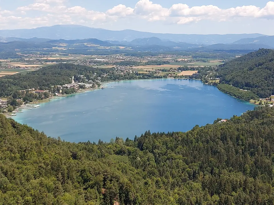
At the top there’s a modern viewing platform with one of the finest lake views in Carinthia: below you lie the Klopeiner See and the Turnersee, behind them the Jauntal and the Karawanks. For the 6.8 kilometres and around 245 metres of ascent, allow a good two and a half hours including breaks. The loop also suits families with older children; sturdy shoes and something to drink are all you need. Like all Slow Trails, this one has its own podcast episode to listen to on the way.
All year, at its best May–October
Westuferstraße / Abzweigung Kleinsee, Seelach, 9122 St. Kanzian am Klopeiner See
At a glance
Loop 6.8 km, approx. 245 m ascent
Walking time approx. 2 h 40 min
Kitzelberg 686 m with viewing platform
Surfaces: asphalt, gravel, forest road
Start: Seelach, turn-off from the Westuferstraße towards the Kleinsee
Our tips
Set off in the late afternoon, when warm light lies over both lakes.
Download the podcast episode “Der Kitzelberg” (kaernten.at) to your phone beforehand.
After the walk, the west shore of the Klopeiner See is a great place to cool off.
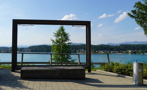
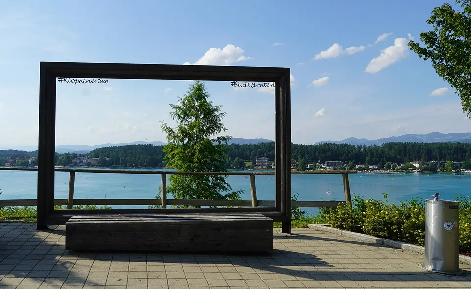
Photo frame on the Süduferstraße4.7 km · 13 min by bike · 5 min by carOn a paved viewing terrace on the Süduferstraße stands a large wooden frame with the lettering “#KlopeinerSee” and “#Südkärnten”.
On a paved viewing terrace on the Süduferstraße stands a large wooden frame with the lettering “#KlopeinerSee” and “#Südkärnten”. It frames the view across the lake to the north shore and the mountains behind. In front of it is a wide wooden bench where you can position yourselves for a souvenir photo in the frame. There’s a drinking fountain right next to it, as well as an artwork by architecture students from the University of Ljubljana.
The spot is right by the “Südpromenade” bus stop and makes a good short stop on a walk or bike ride around the lake. The light is loveliest in the afternoon and towards evening, when the sun shines from the west onto the north shore. Allow 10 to 15 minutes, longer if you’re taking several pictures with children.
Please check the current situation before you go.
All year
Bushaltestelle Südpromenade, Süduferstraße, 9122 St. Kanzian am Klopeiner See
At a glance
Wooden photo frame with bench, view north across the lake
Next to the Südpromenade bus stop
Drinking fountain on site
Freely accessible, free of charge
Our tips
Combine the photo stop with the lakeside path of about 3.5 km around the Klopeiner See.
Come in the late afternoon, when the north shore is in the sunlight.
Dreiseenblick (three-lakes view) near Grabelsdorf5.3 km · 15 min by bike · 9 min by carWest of the Gracarca, above Grabelsdorf, there is a small wooded hilltop at 676 metres: the Dreiseenblick.
West of the Gracarca, above Grabelsdorf, there is a small wooded hilltop at 676 metres: the Dreiseenblick. From here, depending on where you stand and on the foliage, you look out over the Klopeiner See, Turnersee and Kleinsee, and to the south to the Karawanks. The spot is a station on the Gracarca cultural trail. An information board explains that the hilltop belonged to the Celtic hilltop settlement on the Gracarca, which was at its largest in the 2nd and 1st centuries BC.
The starting point is the edge of Grabelsdorf by the Grabelsdorfer Kreuz (wayside cross). Along forest paths and tracks you are at the top in about 15 to 20 minutes. If you have more time, combine the detour with the circuit over the Gracarca and the Georgiberg (around 6 km, a good 2 hours). Sturdy shoes are enough, and in summer the forest provides pleasant shade.
All year
Dreiseenblick, Grabelsdorf, 9122 St. Kanzian am Klopeiner See
At a glance
Altitude 676 m (ÖK50)
Station on the Gracarca cultural trail
Ascent from Grabelsdorf approx. 15–20 min
Freely accessible, all year round
Our tips
Carry on to the summit of the Gracarca and the little Danielkapelle (St Daniel’s chapel), where more information boards tell you about the Celtic settlement.
You get the clearest view of the lakes in spring and autumn, when the foliage is thinner.
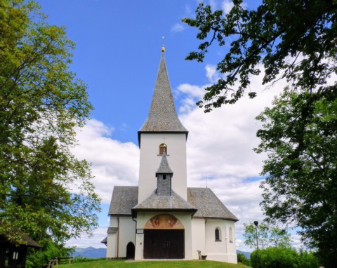
Georgiberg with Georgikirche and wishing bell6.3 km · 20 min by bike · 7 min by carSouth-east of the Klopeiner See rises the 624-metre Georgiberg, with the little Georgikirche (church of St George) on its top.
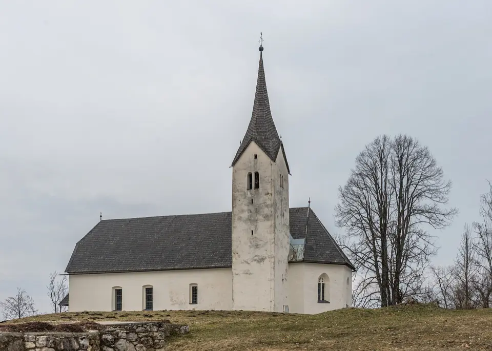
South-east of the Klopeiner See rises the 624-metre Georgiberg, with the little Georgikirche (church of St George) on its top. The church was first mentioned in records between 1060 and 1070 and is the last surviving building of a medieval castle. In the little tower of the southern chapel hangs the wishing bell: young women used to make the pilgrimage up here to ring it and wish for a husband. Today families and couples like to ring it too.
The starting point is the hamlet of Unterburg by the Gasthof Fichtenhof. A forest path climbs about 150 metres in roughly 30 to 40 minutes. From the top you look over the Klopeiner See, towards Völkermarkt and as far as the Saualpe. On the west side, a prehistoric rampart with a ditch is still clearly visible. Via the Gespensterwegsattel you can extend the walk to the neighbouring Gracarca. Sturdy shoes are enough. Allow about 1.5 hours there and back with a break.
All year
Gasthof Fichtenhof, Georgibergstraße 20, Unterburg, 9122 St. Kanzian am Klopeiner See
At a glance
Height 624 m, approx. 150 m of ascent from Unterburg
Ascent approx. 30–40 min, path approx. 0.9 km
Georgikirche first mentioned 1060/1070, late Gothic around 1500
Wishing bell in the little tower of the southern chapel
Remains of a prehistoric rampart on the west side
Our tips
The light over the Klopeiner See is at its most beautiful in the late afternoon.
If you’d like to walk further, link the Georgiberg with the Gracarca via the Gespensterwegsattel.
Bürgerlustpark Völkermarkt15 km · 47 min by bike · 14 min by carAbout 100 metres south of Völkermarkt’s main square, the Bürgerlustpark sits on a plateau above the Drava.
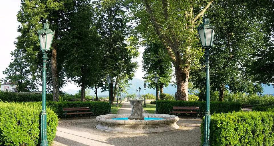
About 100 metres south of Völkermarkt’s main square, the Bürgerlustpark sits on a plateau above the Drava. It was laid out after the town wall was taken down in the 1840s; the name “Bürgerlust” (“citizens’ delight”) goes back to the 18th century. Gravel paths lead beneath old trees to a fountain, and benches invite you to linger. From the edge of the park you look out over the Völkermarkter Stausee and the Jaunfeld to the Karawanks.
The park is a good place for a quiet half-hour during a stroll through Völkermarkt, perhaps after a coffee on the main square. In summer it regularly hosts cultural events. Entry is free, dogs on a lead are welcome, and the level paths are easy with a pushchair.
All year
Bürgerlustpark, Bürgerlustgasse, 9100 Völkermarkt
At a glance
Park on a high terrace south of the main square
Old trees and a fountain
View over the reservoir and the Jaunfeld to the Karawanks
Redesigned and restored in 1996
Free entry, open all year
Our tips
Combine the park with a stroll through the old town and the main square of Völkermarkt.
In the late afternoon the light over the reservoir and the Karawanks is especially beautiful.
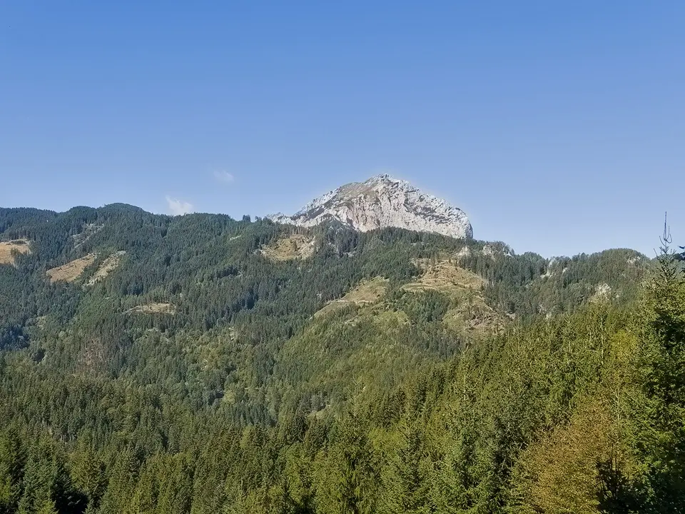
The Kömmel is the ridge of hills north of Bleiburg between the Jauntal and the Drava. From the town (479 m) you walk gently uphill on paths 306/06 across fields, through woods and past mountain farms. At a wayside shrine along the way you have the Petzen and the Karawanks in front of you. A large hikers’ cross stands on the Kömmel, and the highest point is the Kömmelgupf at around 1,060 m. There, the partisan memorial by the Apovnik farm commemorates the resistance of the Carinthian Slovenes in the Second World War.
Allow half a day for the ascent and descent of just under 600 metres. The path is technically easy; good shoes are enough. There are hardly any places to stop for refreshments and little shade along the way, so take plenty of water. If you want to go further, follow the Panoramaweg Südalpen (stage 14) to Lavamünd. The whole stage takes around seven hours, and you will need transport back.
May–October
Schloßgasse 3, 9150 Bleiburg
At a glance
Bleiburg 479 m – Kömmelgupf approx. 1,060 m
Around 600 m of ascent, paths 306/06
Hikers’ cross and partisan memorial on the Kömmelgupf
Part of the Panoramaweg Südalpen, stage 14 Bleiburg–Lavamünd
Our tips
The hike combines well with a visit to the Werner Berg Museum in Bleiburg.
On hot days start early – much of the ascent runs across open meadows.
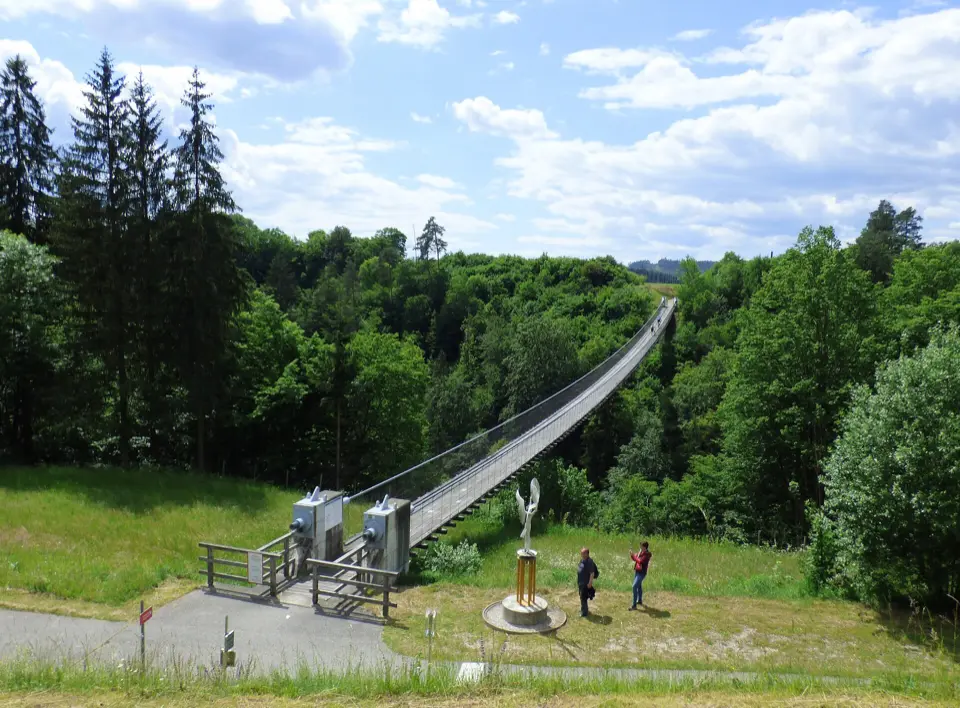
Santa Lucia suspension bridge with “Landmark” and “Himmelsstiege”30 km · 29 min by carNear Aich, on the municipal boundary between Bleiburg and Neuhaus, the Santa Lucia suspension bridge spans the wooded ravine of the Feistritzbach, just before the stream flows into the Drava.
Near Aich, on the municipal boundary between Bleiburg and Neuhaus, the Santa Lucia suspension bridge spans the wooded ravine of the Feistritzbach, just before the stream flows into the Drava. The steel-cable bridge, around 140 metres long, was built in 2003 to close a gap in the Drava Cycle Path (Drauradweg) and was at the time the longest of its kind in Austria. It is open only to pedestrians and cyclists and sways noticeably as you cross.
At the bridgehead stands the sculpture “Landmark” by Karl Vouk, and next to it the “Himmelsstiege” (“stairway to heaven”) by Armin Guerino (2020) frames a small rest area. The bridge is also the start of the Kunst-Radweg (art cycle path) through Bleiburg, around 22 kilometres long with 20 works of art. For a short visit with children half an hour is enough; if you are cycling, build it into a tour on the Drava Cycle Path.
All year
Hängebrücke Santa Lucia, Aich, 9150 Bleiburg
At a glance
Length around 140 m, built in 2003
Pedestrians and cyclists only
Part of the Drava Cycle Path, start of the Kunst-Radweg (approx. 22 km, 20 works of art)
Freely accessible, no admission charge
Our tips
If you don’t have a head for heights, cross the bridge on a calm day – it sways quite a bit.
The best photo of the whole bridge is from the rest area by the “Himmelsstiege”.
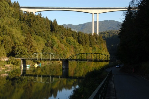
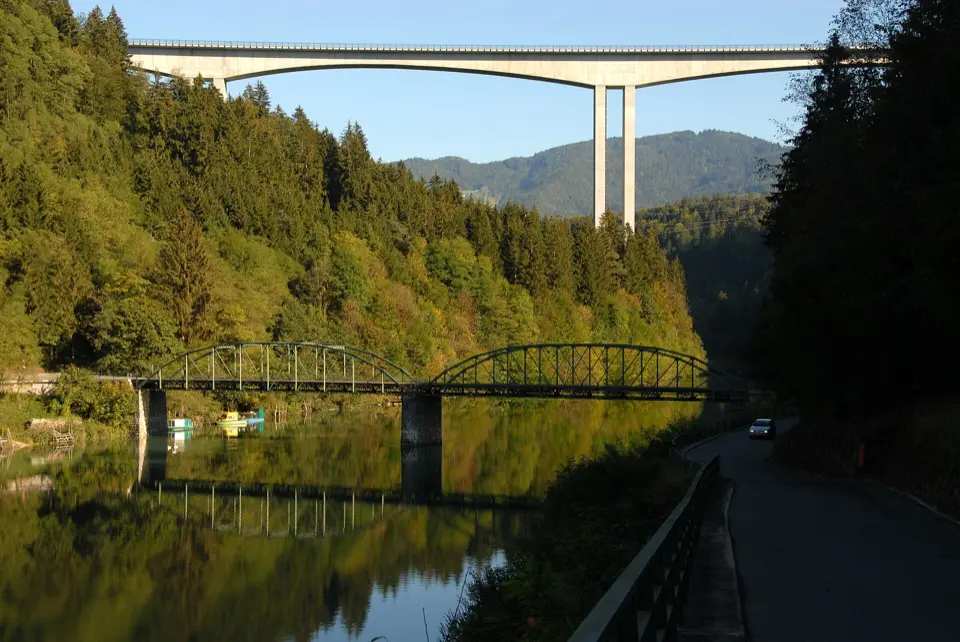
Alte Lippitzbacher Draubrücke30 km · 33 min by carAt Lippitzbach in the municipality of Ruden, two bridges from very different eras span the dammed Drava: below, the iron truss bridge with its parabolic arches from 1896; above it, almost 100 metres high, the 455-metre Jörg-Haider-Brücke from 2005.
At Lippitzbach in the municipality of Ruden, two bridges from very different eras span the dammed Drava: below, the iron truss bridge with its parabolic arches from 1896; above it, almost 100 metres high, the 455-metre Jörg-Haider-Brücke from 2005. The old bridge was partly blown up during the Carinthian defensive struggle (Abwehrkampf) in 1919, reopened in 1923, raised twice because of the reservoir and restored in 1995; its northern section is a listed monument.
The view – old iron arches reflected in the still water, with the concrete bridge above – is best from the riverside road on the south side. The old bridge itself has been closed for some years; you cross the river on the cycle lane of the new bridge. A good photo stop on a bike ride along the Drava or on the drive towards Bleiburg and the Petzen.
All year
Alte Lippitzbachbrücke, Lippitzbach, 9113 Ruden
At a glance
Iron truss bridge, opened 1896, northern section listed
New bridge: 455 m long, up to 96 m high, with cycle lane
Freely accessible, all year
Our tips
Early in the morning or in the evening the water is often smooth and mirrors the arches.
Plan to cross the Drava on the new bridge – the old one cannot be crossed.
Maria Loretto peninsula with castle and Loretto chapel40 km · 39 min by carOn the eastern shore of the Wörthersee, in Klagenfurt, the wooded Maria Loretto peninsula juts out into the lake.
On the eastern shore of the Wörthersee, in Klagenfurt, the wooded Maria Loretto peninsula juts out into the lake. On it stands Schloss Maria Loretto, built in 1652 as a summer residence for Count Johann Andrä von Rosenberg and today booked mainly for weddings and celebrations. With its bar, terrace and garden, though, it is also a lovely place for a glass of wine in the evening, when the sun sets over the lake and the Karawanks with the Košuta can be seen to the south.
Right next to the castle is the small Loretto chapel with a Black Madonna, a replica of the shrine of Loreto near Ancona. The peninsula is a nature reserve, best reached on foot, for example from the Strandbad Klagenfurt along the Lendkanal via Wilsonstraße. Bicycles and other vehicles stay outside. Allow one to two hours for the walk and a drink, which combines well with a day at the Strandbad Maria Loretto.
Accessible all year, bar and terrace mainly in summer
Lorettoweg 52, 9020 Klagenfurt am Wörthersee
At a glance
Castle built in 1652 as a summer residence of the Counts of Rosenberg
Loretto chapel with a Black Madonna
Mass April–October on the 24th of each month at 18:00
The peninsula is a nature reserve, on foot only
Our tips
Come towards evening: from the terrace you can watch the sun set over the Wörthersee.
Leave your bike at the entrance to the peninsula – vehicles are not allowed on the path.
Zillhöhe & Karawankenblick pavilion on the Kreuzbergl41 km · 37 min by carThe Kreuzbergl is Klagenfurt’s wooded local hill, between the city and the Wörthersee.
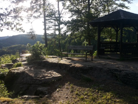
The Kreuzbergl is Klagenfurt’s wooded local hill, between the city and the Wörthersee. On its west side lies the Zillhöhe (536 m): a viewpoint with benches and a pavilion, from which you can look across the Wörthersee to the Pyramidenkogel and the Karawanks. Right next to it you can see glacial polish on the rock, a natural monument from the last Ice Age. The shortest way is from the Seewiese above the eastern bay and takes about 15 minutes. From the city centre it is around an hour and a half on well-signposted forest paths.
From the Zillhöhe, walk about another quarter of an hour into the forest and follow the sign “Karawankenblick”. There you will find a pale-painted wooden pavilion from the Gründerzeit period, the early days of summer holidays on the Wörthersee. Few day visitors find their way here, so it is usually quiet. Facing west, both spots make a good destination in the late afternoon and at sunset. If you are in Klagenfurt or on the Wörthersee anyway, the walk is easy to add on.
All year
Zillhöhe, Christlweg, 9020 Klagenfurt am Wörthersee
At a glance
Zillhöhe 536 m, viewpoint with benches and shelter
Shortest access from the Seewiese above the eastern bay, approx. 15 min on foot
Karawankenblick pavilion approx. 15 min further into the forest
Glacial polish on the Zillhöhe (natural monument)
Freely accessible, all year
Our tips
Plan your visit for the late afternoon, when the sun stands low over the Wörthersee and the Karawanks.
Bring a head torch if you want to stay until after sunset, as the forest paths are unlit.
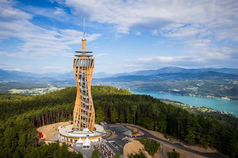
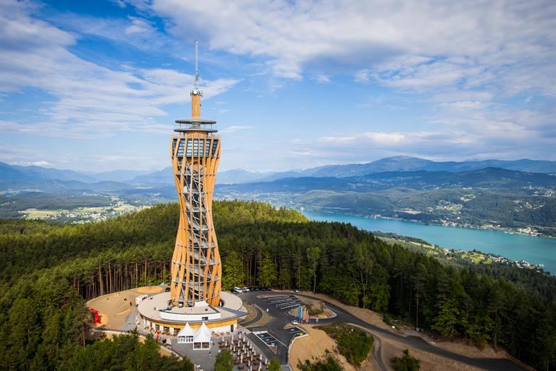
Aussichtsturm Pyramidenkogel53 km · 53 min by carHigh above the Wörthersee, the observation tower on the Pyramidenkogel has stood since 2013 – at 100 metres in total, one of the tallest wooden observation towers in the world.Free with Kärnten Card
High above the Wörthersee, the observation tower on the Pyramidenkogel has stood since 2013 – at 100 metres in total, one of the tallest wooden observation towers in the world. Sixteen curved timber columns spiral up into the sky; stairs or the glass panoramic lift take you to the viewing platforms, the highest of which is at a good 70 metres. From the top the view sweeps across the whole Wörthersee, Klagenfurt and the Karawanks far into the Julian Alps.
The big hit for everyone 130 cm and taller: Europe’s highest covered tower slide. It starts at a height of 52 metres and winds 120 metres down – a few seconds later you are back on the ground. For the brave there is the “Fly 100” in summer, a zip line down into the valley. The slide is closed when it is wet, so it pays to pick a clear, dry day.
All year; open into the evening in summer
Kärnten Card: Free admission once a day (saving €17), slide costs extra
At a glance
Tower height 100 m, timber construction, opened 2013
Highest visitor level approx. 71 m, glass panoramic lift
Tower slide: 120 m long, starts at 52 m, minimum height 130 cm
“Fly 100” zip line in summer
Our tips
Come early in the morning or in the evening – fewer crowds, nicer light.
Family tickets save money compared with single tickets.
The slide doesn’t run in the rain – check the weather.
Kathreinkogel (772 m) with wishing tree61 km · 56 min by carThe Kathreinkogel is the local mountain of Schiefling am Wörthersee, a wooded cone at the western end of the Sattnitz.
The Kathreinkogel is the local mountain of Schiefling am Wörthersee, a wooded cone at the western end of the Sattnitz. From the former Gasthaus Kreuzwirt an easy path leads first across sunny meadows and, after about 15 minutes, through beech woods up to the summit – around an hour, and fine for children too. At the top stand the Gothic church of St. Katharina, first mentioned in 1385, and a statue of St Christopher attributed to the artist Switbert Lobisser.
The hill was settled again and again over more than 9,000 years; excavated walls of a late-antique hilltop settlement and a cistern tell the story. At the summit hangs the wishing tree: visitors write their wishes on small wooden tags and hang them on the branches. A bench at the viewpoint invites you to rest with a view of the Karawanks. The walk is especially lovely in autumn, when the beech woods change colour.
All year, especially lovely in autumn
Kreuzwirt, Farrendorfer Straße 110, 9535 Schiefling am Wörthersee
At a glance
Summit 772 m, ascent approx. 1 hour from Kreuzwirt
Gothic chapel of ease St. Katharina, first mentioned in 1385
Traces of a late-antique hilltop settlement
Freely accessible, all year round
Our tips
Prepare a small wooden tag with a string at home so you can hang up your wish at the top.
Good shoes are enough, but the woodland path can be slippery after rain.
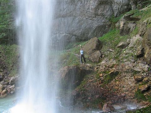
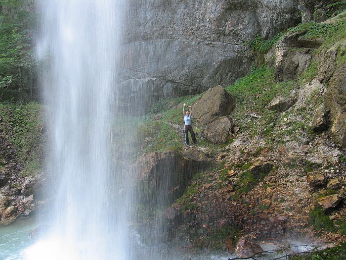
Wildensteiner Wasserfall9.2 km · 37 min by bike · 15 min by carAt the foot of the Hochobir, in the municipality of Gallizien, the Wildensteiner Wasserfall plunges 54 metres in free fall over a vertical rock face – it is considered one of the highest free-falling waterfalls in Europe.
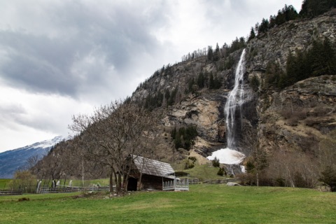
At the foot of the Hochobir, in the municipality of Gallizien, the Wildensteiner Wasserfall plunges 54 metres in free fall over a vertical rock face – it is considered one of the highest free-falling waterfalls in Europe. From the car park by the inn, a winding forest path, rooty in places, climbs around 60 metres in about 15 to 20 minutes up to the viewing platform. The first two thirds are easy going; the last stretch gets a little steeper.
Once at the top you feel the fine spray on your face – a wonderful way to cool off on hot summer days. Benches invite you to rest, and the spectacle is especially impressive after a few days of rain. Around the waterfall, balance ropes, suspension bridges and a flying fox await the children. Afterwards, a bite to eat at the inn tastes twice as good.
All year, at its best May to September
At a glance
Height 54 m, free-falling
Municipality of Gallizien, at the foot of the Hochobir (2,139 m)
Climb approx. 15–20 min, approx. 60 m of ascent
Viewing platform with seating
For children: balance ropes, suspension bridges, Flying Fox Park (reduced with the Aktiv Card)
Our tips
Wear sturdy shoes – the path can be slippery after rain.
No pushchairs – better bring a baby carrier.
After a few days of rain the fall carries the most water.
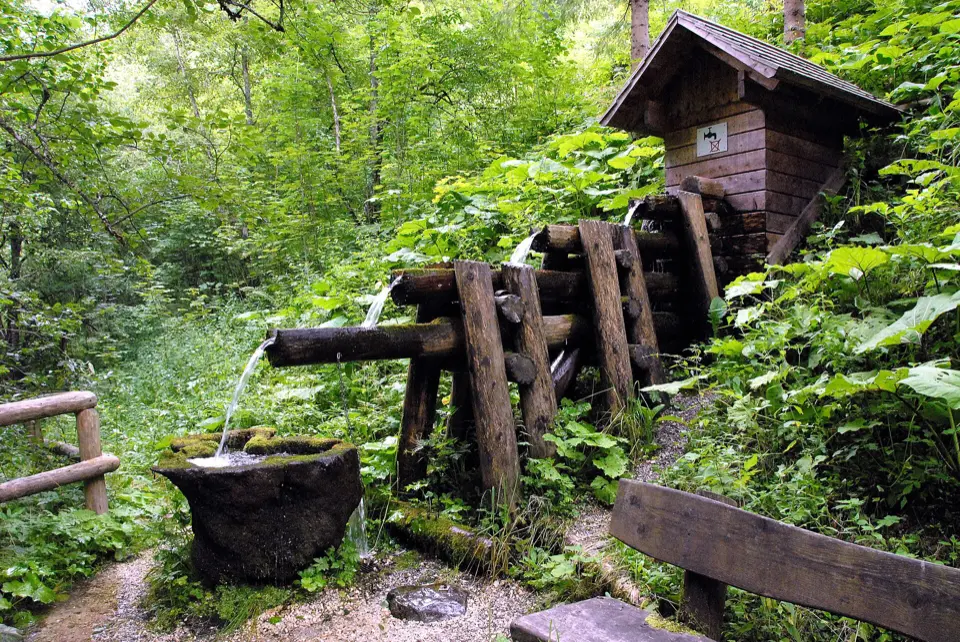
Silberbründl in the Trögerner Klamm23 km · 29 min by carJust above the last car park in the Trögerner Klamm, close to the Trögerner Bach, the Silberbründl – Srebrni vrelec in Slovenian – emerges from the wooded slope.
Just above the last car park in the Trögerner Klamm, close to the Trögerner Bach, the Silberbründl – Srebrni vrelec in Slovenian – emerges from the wooded slope. The cold spring is fed from Palaeozoic slate and has a low mineral content, a calcium-magnesium-hydrogen carbonate water. It is part of the “Wasserwelt” (water world) of the Geopark Karawanken.
It’s only a few steps from the car park, so it makes a good stop at the end of a drive or hike through the gorge. Children love filling their water bottles with the fresh spring water here. Bring an empty bottle, and combine the spring with a walk along the rock walls of the gorge.
May–October
Silberbründl, Trögerner Klamm, Trögern, 9135 Bad Eisenkappel
At a glance
Cold spring with low mineral content (akratopege)
Water type: calcium-magnesium-hydrogen carbonate
Part of the Wasserwelt (water world) in the Geopark Karawanken
A few steps from the last car park in the Trögerner Klamm
Our tips
Bring an empty water bottle and fill it here for your hike.
It’s best to combine the detour with a drive through the Trögerner Klamm.
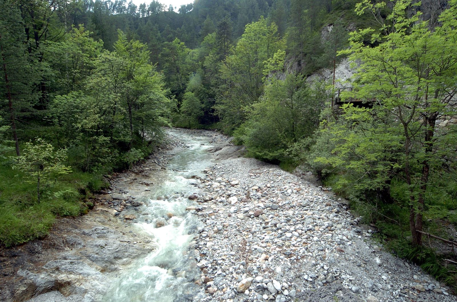
Trögerner Klamm23 km · 29 min by carThe Trögerner Klamm near Bad Eisenkappel is a wildly romantic gorge around 3 km long which – unlike many gorges – has no steps or ladders at all.
The Trögerner Klamm near Bad Eisenkappel is a wildly romantic gorge around 3 km long which – unlike many gorges – has no steps or ladders at all. A narrow road runs through the gorge, so the walk has no significant climbs and is easy even with a pushchair. Steep rock faces rise up on either side, the clear Trögernbach rushes alongside the path, and the rocks tell of a primeval sea – the Geopark calls it “walking on the seabed”.
You reach the gorge from Bad Eisenkappel via Ebriach, where the road turns off into the Trögern valley. At the end lies the small mountain village of Trögern with its scattered farms. The gorge is perfect for a relaxed half-day outing and combines wonderfully with the Obir-Tropfsteinhöhlen; guided tours start at the Geopark information centre.
Recommended May to September
At a glance
Length approx. 3 km
Road through the gorge, hardly any climb, suitable for pushchairs
Access via Bad Eisenkappel – Ebriach
Guided Geopark tours from the information centre in Bad Eisenkappel
Our tips
Watch out for cars and cyclists on the narrow road.
Ideal to combine with the Obir-Tropfsteinhöhlen on the same day.
Koschutabach-Wasserfall (Trögern)25 km · 33 min by carIn the Trögern valley below the Koschuta, a stream hike leads to a waterfall about 15 metres high on the Koschutabach.
In the Trögern valley below the Koschuta, a stream hike leads to a waterfall about 15 metres high on the Koschutabach. From the free car park on the Trögerner Straße you walk for about half an hour along a forest road closed to traffic. The valley has been a natural forest reserve since 1977. Where the road ends at the stream, you carry on without a path: upstream in the streambed, over rocks and with many stream crossings. Only a few cairns show the best line.
You bypass a first cascade, about five metres high, on the left as you go upstream. After roughly another 20 minutes you are standing in front of the main fall. Allow about two hours there and back on the same route. The tour is an adventure for sure-footed adults and older children, not for pushchairs or unsteady walkers. Only go in dry weather and when the water is low, and watch out for falling rocks in the narrow gorge.
Please check the current situation before you go.
July–September, only when the water is low
Parkplatz Trögerner Straße (L131), Trögern, 9135 Eisenkappel-Vellach
At a glance
7.3 km there and back, approx. 2 h
Approx. 310 m of ascent, waterfall at approx. 1,070 m
No path in the streambed beyond the end of the forest road
Waterfall approx. 15 m high
Our tips
Bring shoes with a good tread that can get wet, and poles for the stream crossings.
Skip the tour after rain or during snowmelt – the crossings are dangerous then.
Tscheppaschlucht34 km · 41 min by carThe Tscheppaschlucht in the Loibltal, about 6 km south of Ferlach, is one of the most impressive gorges in Carinthia.Free with Kärnten Card
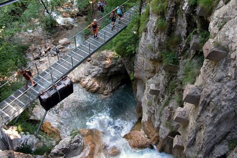
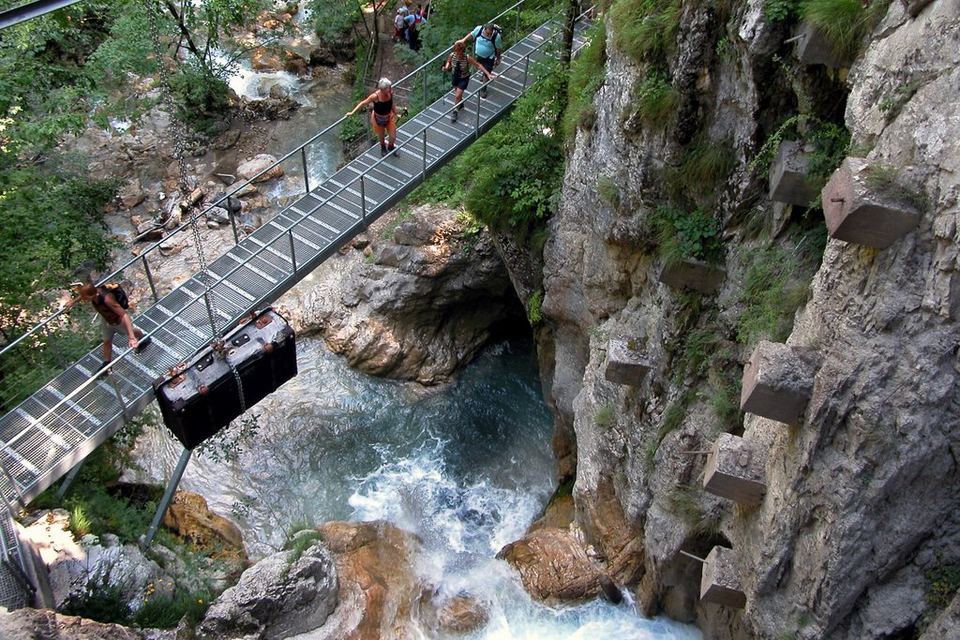
The Tscheppaschlucht in the Loibltal, about 6 km south of Ferlach, is one of the most impressive gorges in Carinthia. On well-secured paths, wooden walkways, ladders and bridges – more than 300 steps in all – you walk along the roaring Loiblbach through a wildly romantic rocky landscape. Highlights are the 26 m high Tschaukofall, a natural monument, and the Teufelsbrücke (Devil’s Bridge), from which you look deep down into the gorge.
From the car park on the Loiblpass road (B91) it is about 20 minutes on foot to the entrance of the gorge, and you walk through the gorge itself in around an hour. If you want more, carry on into the Bodental to the emerald-green Meerauge. An ideal day trip for families with sure-footed children – especially on hot days, as it stays pleasantly cool between the rock walls.
Open May to September
Kärnten Card: Free admission once a day including return transport to the car park
At a glance
In the Loibltal, approx. 6 km south of Ferlach
Secured paths, bridges, ladders, more than 300 steps
Tschaukofall: 26 m drop, natural monument
Teufelsbrücke (Devil’s Bridge) viewpoint
Car park – gorge entrance approx. 20 min, gorge approx. 1 h
Our tips
Wear non-slip hiking boots – walkways and steps can be wet.
Start early; in high summer it gets much busier from midday.
Check prices and opening times with the operator in advance.
Meerauge in the Bodental43 km · 56 min by carThe Meerauge is a small, crystal-clear mountain lake at around 1,050 metres in the Bodental near Ferlach, right below the rock faces of the Vertatscha in the Karawanks.
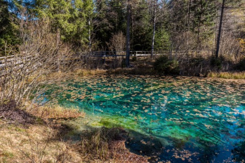
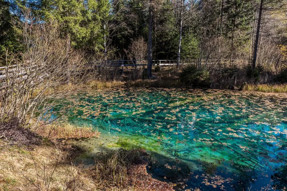
The Meerauge is a small, crystal-clear mountain lake at around 1,050 metres in the Bodental near Ferlach, right below the rock faces of the Vertatscha in the Karawanks. The pond dates from the Ice Age – a so-called kettle hole. Through the cold, clear water you can see right down to the bottom with its old, sunken tree trunks; depending on the light it glows turquoise to emerald green. From the car park at the Gasthof Bodenbauer it is an easy 10 to 15 minutes’ walk along a forest path. The short walk is also well suited to children.
If you want to walk further, climb from the Meerauge via the Märchenwiese to the Ogrisalm. The loop (about 8.5 km) takes around three hours; wear sturdy shoes for it. The Meerauge is not for swimming. Bring a picnic for your break instead, or stop for food at the Bodenbauer afterwards.
May–October
Gasthof Bodenbauer, Bodental 125, 9170 Ferlach
At a glance
Altitude around 1,050 m, Ice Age kettle hole
Walking time from the Bodenbauer car park 10–15 min, easy
Loop via Märchenwiese and Ogrisalm approx. 8.5 km, just under 3 h
Municipality of Ferlach, Bodental (Karawanks)
Our tips
In the early morning it is still quiet at the Meerauge and the water looks at its clearest.
Combine your visit with a meal at the Gasthof Bodenbauer by the car park.
Märchenwiese (fairy-tale meadow) in the Bodental43 km · 56 min by carAt the far end of the Bodental near Ferlach, the forest opens out onto an almost level mountain meadow that reaches right up to the pale limestone walls of Vertatscha and Kosmatitza – the Märchenwiese, or fairy-tale meadow.
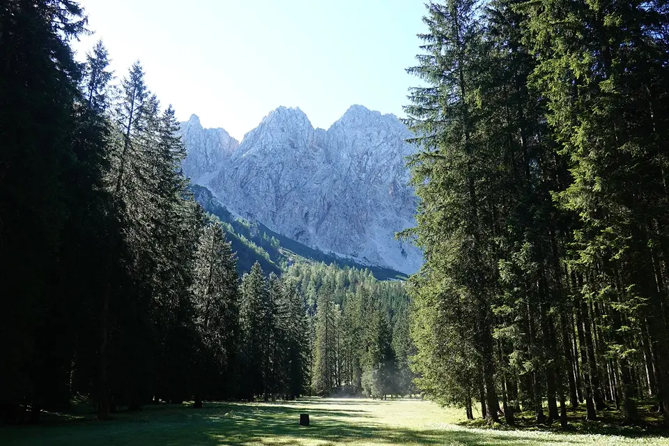
At the far end of the Bodental near Ferlach, the forest opens out onto an almost level mountain meadow that reaches right up to the pale limestone walls of Vertatscha and Kosmatitza – the Märchenwiese, or fairy-tale meadow. From the Gasthof Bodenbauer you reach it on wide, gently sloping paths in about half an hour to three quarters of an hour; on the way lies the Meerauge, a small, clear dead-ice lake with a wooden boardwalk. This short version is well suited to families with children.
If you’d like to walk more, do the loop from the Gasthof Sereinig via the Meerauge, Bodenbauer and Märchenwiese up to the Ogrisalm and back along the panorama path: around 8.6 km and a good 500 metres of ascent, three to three and a half hours depending on your pace. Bring sturdy shoes and drinks; the meadow is at its most beautiful when it flowers in early summer.
June–September
Gasthof Bodenbauer, Bodental 125, 9170 Ferlach
At a glance
Mountain meadow at approx. 1,050 m at the foot of the Karawanks
Short version from the Gasthof Bodenbauer, approx. 30–45 min each way
Loop to the Ogrisalm (approx. 1,567 m): approx. 8.6 km, a good 500 m of ascent, 3–3.5 h
Part of the UNESCO Global Geopark Karawanken
Our tips
On summer weekends come early – the car parks in the Bodental fill up quickly.
Combine your visit with a meal at the Bodenbauer or the Gasthof Sereinig.
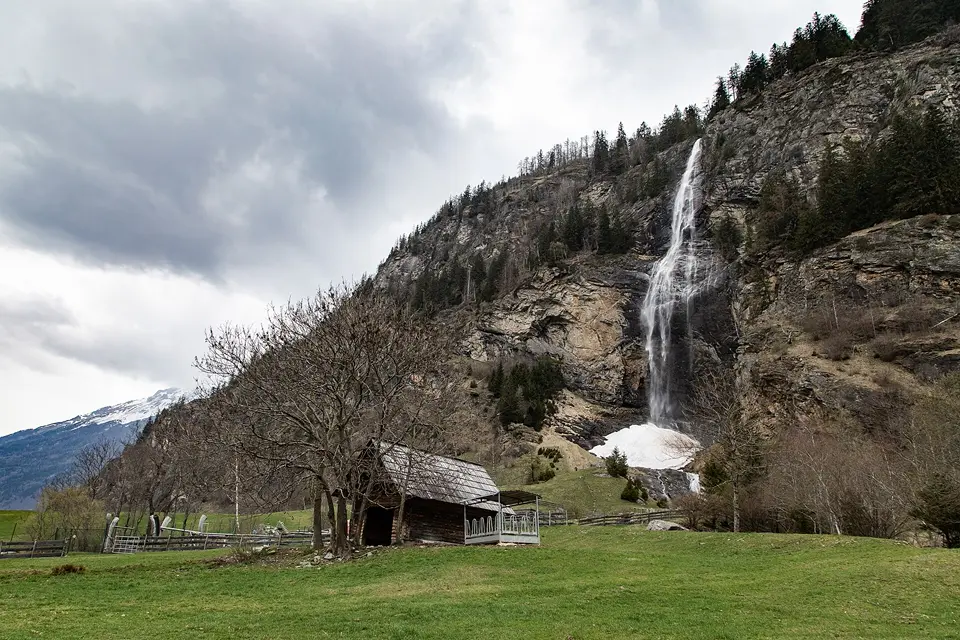
Fallbach – Carinthia’s highest waterfall129 km · 1 h 35 min by carIn the Maltatal valley, at the entrance to the Hohe Tauern National Park, the Fallbach plunges about 200 metres in free fall down a rock face – it is considered Carinthia’s highest free-falling waterfall.Discount with Kärnten Card
In the Maltatal valley, at the entrance to the Hohe Tauern National Park, the Fallbach plunges about 200 metres in free fall down a rock face – it is considered Carinthia’s highest free-falling waterfall. At the foot of the falls is the Maltatal water adventure park: water mazes, a climbing and sand-play area with mini diggers, a retention pool for splashing about, and a water-themed trail with information boards in four languages leading to the viewing platform right below the waterfall.
For families it easily fills half a day; bring a change of clothes for the children. Experienced mountaineers will find a challenging via ferrata next to the falls. It is a long drive, so it is best combined with the Malta-Hochalmstraße or Gmünd.
May–September
Wassererlebnispark Maltatal, Brandstatt 11, 9854 Malta
Kärnten Card: 30% off admission to the Fallbach water play park
At a glance
Drop of about 200 m, free-falling
May to mid-September daily 9:00–18:00, until the end of September 10:00–17:00
Maintenance contribution at the ticket office, cash only
No dogs in the park; allowed on the path to the waterfall
Our tips
Bring cash – card payment is not possible.
Pack a change of clothes and water shoes for the children.
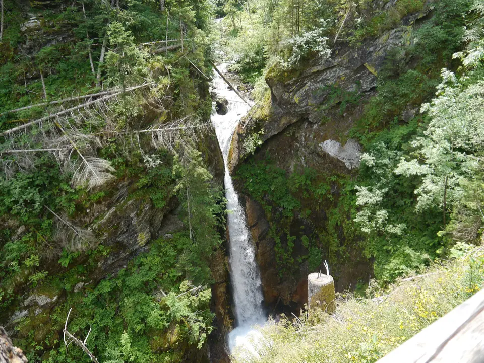
Raggaschlucht140 km · 1 h 50 min by carNear Flattach in the Mölltal, the Raggabach stream has cut a gorge into the rock that is only around 800 metres long but up to 200 metres deep and very narrow.Free with Kärnten Card
Near Flattach in the Mölltal, the Raggabach stream has cut a gorge into the rock that is only around 800 metres long but up to 200 metres deep and very narrow. Since 1882 it has been made accessible by wooden walkways, steps and bridges, which often run right above the roaring water. Right at the start the stream plunges over a ten-metre rock step, and information boards along the way explain how the gorge was formed. You may only walk through the gorge uphill; the way back is along a forest path.
Allow about an hour and a half for the circuit. Children find the path exciting, but it calls for sure-footedness and a head for heights; it is not suitable for pushchairs. Sturdy shoes and a jacket are a good idea, as it is damp and cool down in the gorge. The gorge is closed during storms. It is a long drive, so the visit combines well with a day trip to the Mölltal.
May–October
Parkplatz Raggaschlucht, 9831 Flattach
Kärnten Card: Free admission once a day
At a glance
Length approx. 800 m, up to 200 m deep
Circular route approx. 1.5 h, uphill only
Open daily mid-May to mid-October, then until the end of October depending on the weather
Admission as of 2026: adults €9, children 6–18 €6; free with the Kärnten Card
Natural monument since 1978
Our tips
Before setting off, check on raggaschlucht.info whether the gorge is open, as it closes at short notice in bad weather.
In high summer the cool gorge is a pleasant destination for hot days.
Vogelschutzgebiet Völkermarkter Stausee8.2 km · 26 min by bike · 23 min by carAt the upper end of the Völkermarkter Stausee, between Stein im Jauntal and Brenndorf, lies a European protected area (Natura 2000) of around 84 hectares.
At the upper end of the Völkermarkter Stausee, between Stein im Jauntal and Brenndorf, lies a European protected area (Natura 2000) of around 84 hectares. Here the dammed Drava is shallow, with a ragged shoreline: bays, reed beds and small islands with willow and alder floodplain forest offer waterbirds places to breed and rest. The EU data sheet lists 61 protected bird species. You will see herons, cormorants and ducks, and with a bit of luck a kingfisher too.
The islands are a refuge for the animals. It is best to watch from the shore: the reservoir shore path and the Drava Cycle Path run along the south bank, with a viewpoint along the way. It is ideal for a leisurely bike ride or a walk early in the morning or in the evening, when the birds are most active. Spring and autumn are especially rewarding, when migrating birds stop to rest. Please stay on the paths.
All year, especially spring and autumn (bird migration)
Vogelschutzgebiet Völkermarkter Stausee, bei Schreckendorf, 9122 St. Kanzian am Klopeiner See
At a glance
Natura 2000 site AT2111000, around 84 ha
61 protected bird species according to the EU data sheet
Habitats: floodplain forest with alder and ash, damp tall-herb vegetation
Freely accessible, birdwatching from the shore and the cycle path
Our tips
Bring binoculars, as the birds keep their distance from the shore.
Combine your visit with a bike ride on the Drava Cycle Path to Völkermarkt.
Keep dogs on a lead, especially during the breeding season in spring.
North of our house flows the Drava, Carinthia’s great river. At Völkermarkt it is dammed to form the Völkermarkter Stausee, a reservoir that stretches around 21 km through the Jauntal and is up to 1.5 km wide. The wide expanses of water, riverside forests and reed beds are home to numerous waterfowl, with the Karawanks and the Kamnik Alps (Steiner Alpen) glowing in the background.
The Drava Cycle Path (Drauradweg), one of the most popular long-distance cycle routes in Austria, runs along the shore. The section around Völkermarkt is largely flat and perfect for leisurely family bike rides. High above the reservoir sits the historic district town of Völkermarkt with its main square – ideal for a coffee break with a view.
Cycling May to September
At a glance
Völkermarkter Stausee: approx. 21 km long, up to approx. 1.5 km wide
The Drava Cycle Path R1 runs along the reservoir
Habitat for waterfowl, riverside forests
Our tips
Consider an e-bike for the uphill ride back to the Turnersee.
Bring binoculars – you can watch lots of waterfowl by the reed beds.
Hemmaberg with the Rosaliengrotte and healing spring14 km · 50 min by bike · 21 min by carThe Hemmaberg near Globasnitz has been a pilgrimage mountain for more than 1,600 years.
The Hemmaberg near Globasnitz has been a pilgrimage mountain for more than 1,600 years. Around AD 400, Romanised locals and Celts moved up here from the plain, and later early Christian double churches were built. Their excavated foundations lie around the pilgrimage church of Saints Hemma and Dorothea on the summit, and information boards explain the individual buildings. The circuit of the site is freely accessible.
A little below, in a rock face, lies the Rosaliengrotte (St Rosalia’s Grotto) with a small chapel and the Rosalia spring. Its water is said to have healing powers, and many visitors still fill their bottles here today. From the car park on the Hemmaberg you reach the grotto and the church in a few minutes on foot. For a leisurely circuit with the grotto, the excavations and the view over the Jauntal, allow about an hour. The finds from the mountain are on display in the Pilgermuseum Globasnitz (pilgrims’ museum) down in the village.
All year
Hemmaberg, 9142 Globasnitz
At a glance
Early Christian church complex, oldest church around 1,600 years old
Rosaliengrotte with chapel and spring, freely accessible
Summit at around 840 m, car park just below
Finds in the Pilgermuseum Globasnitz
Our tips
Bring an empty bottle for the spring water at the Rosaliengrotte.
The path to the grotto involves steps and is only partly suitable for pushchairs.
Teufelsstein near Jaunstein14 km · 46 min by bike · 15 min by carThe Teufelsstein (Devil’s Stone) is a limestone block around six metres high between Jaunstein and Globasnitz, standing in the middle of the flat fields of the Jauntal.
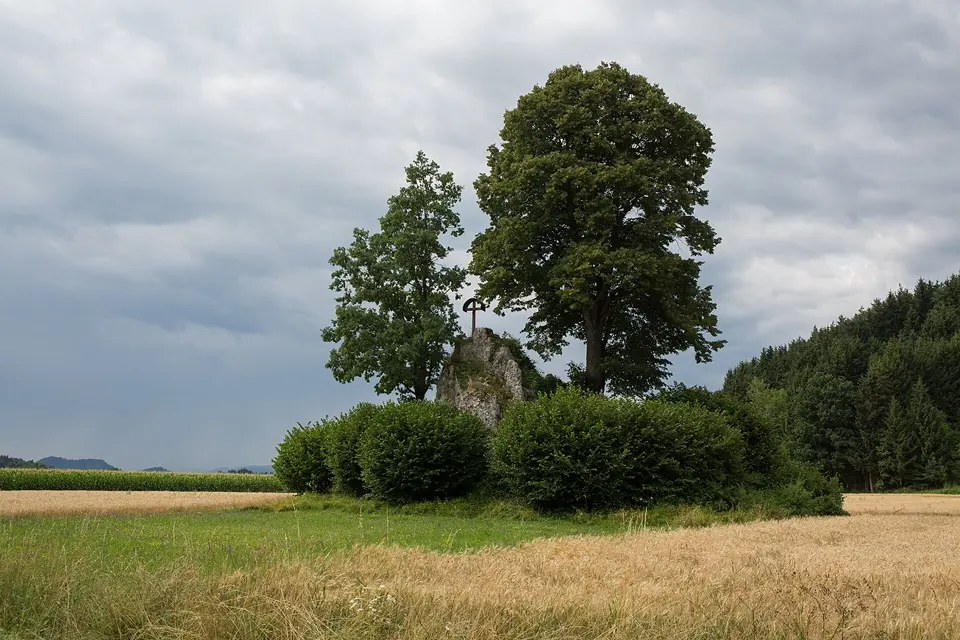
The Teufelsstein (Devil’s Stone) is a limestone block around six metres high between Jaunstein and Globasnitz, standing in the middle of the flat fields of the Jauntal. A crucifix stands on the rock, and a lime tree and an oak grow beside it. It can be seen from far away, and since 2016 it has been protected as a natural monument. Legend has it that the devil, furious over a lost soul, broke the stone off the Petzen and hurled it into the valley. His thumbprint is said to be still visible on the front.
You only need a quarter of an hour for the stone. It makes a good short stop on a bike tour through the Jauntal or on the way to the Hemmaberg or the Petzen. The rock stands in a privately farmed field, so please look at it from the edge of the field and don’t walk through the crops. Every year at the winter solstice, many people come here for the sunrise.
All year
Teufelsstein, Tschepitschach, 9142 Globasnitz
At a glance
Limestone block, approx. 6 m high, 536 m above sea level
Natural monument since 2016 (Völkermarkt district authority)
Part of the UNESCO Global Geopark Karawanken
Freely accessible, no admission
Our tips
Combine the short detour with the nearby Hemmaberg near Globasnitz.
In summer the light is loveliest in the late afternoon, with the Petzen in the background.
UNESCO Global Geopark Karawanken15 km · 52 min by bike · 17 min by carSouth of our house begins a landscape that brings the earth’s history to life: the cross-border UNESCO Global Geopark Karawanken/Karavanke.
South of our house begins a landscape that brings the earth’s history to life: the cross-border UNESCO Global Geopark Karawanken/Karavanke. It covers around 1,067 km² in nine Carinthian and five Slovenian municipalities – including the Petzen, the Hochobir and Bad Eisenkappel. The rocks go back more than 500 million years: you hike over former coral reefs, discover traces of the Ice Age and delve into more than 340 years of lead and zinc mining history.
Around 1,200 km of hiking trails criss-cross the Geopark. Highlights include the Obir-Tropfsteinhöhlen, the Trögerner Klamm, the rock arches of the Uschowa, mine biking and mine canoeing in the former mine beneath the Petzen in Mežica, and guided sunrise hikes on the Petzen. The Geopark links nature, culture and two countries – ideal for anyone who wants to discover more on holiday.
All year; many activities May to September
At a glance
Approx. 1,067 km², 14 municipalities (9 in Carinthia, 5 in Slovenia)
Founded in 2013, UNESCO Global Geopark
Approx. 1,200 km of hiking trails
Rocks more than 500 million years old; more than 340 years of mining history (lead, zinc)
Highest peak: Hochobir, 2,139 m
Our tips
Check the programme of guided tours on geopark-karawanken.at – many need to be booked.
Hemma-Pilgerweg14 km · 51 min by bike · 21 min by carThe Hemma-Pilgerweg (pilgrims’ trail) is not a single trail but a star-shaped network of eight routes totalling around 800 kilometres, all leading to the tomb of St Hemma in the Dom zu Gurk (cathedral).
The Hemma-Pilgerweg (pilgrims’ trail) is not a single trail but a star-shaped network of eight routes totalling around 800 kilometres, all leading to the tomb of St Hemma in the Dom zu Gurk (cathedral). One of the routes comes from Črna na Koroškem in Slovenia and runs through southern Carinthia over the Hemmaberg near Globasnitz, one of the best-known places of power in the region. The routes are signposted and can be walked alone or in a group, as a pilgrimage of several days or in individual sections.
For a day out on holiday, the section around the Hemmaberg is ideal: at the top stand the pilgrimage church of Saints Hemma and Dorothea and the excavations of early Christian churches from the 5th and 6th centuries, with a wide view over the Jauntal. A little below lies the Rosaliengrotte with its spring. Bring good footwear and water; the brochure of the Catholic Church in Carinthia contains stage descriptions and maps.
April–October
Wallfahrtskirche Hemmaberg, 9142 Globasnitz
At a glance
Network of 8 routes, around 800 km, destination: Dom zu Gurk
Route from Črna (SLO) over the Hemmaberg (842 m)
On the Hemmaberg: pilgrimage church and early Christian excavations
Best time April–October
Our tips
For a first impression, half a day on the Hemmaberg with the church, the excavations and the Rosaliengrotte is enough.
Download the brochure with the stages beforehand – there are only a few information boards along the way.
Town trail in Völkermarkt15 km · 47 min by bike · 15 min by carThe town trail takes you on a circular walk to 31 signposted buildings and sites in the old ducal town of Völkermarkt.
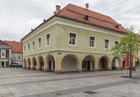
The town trail takes you on a circular walk to 31 signposted buildings and sites in the old ducal town of Völkermarkt. It starts at the 13th-century castle, which has housed the town hall since 1954. From there you pass the old town hall with its arcades, the plague column, the town tower, the Romanesque parish church of St. Maria Magdalena, the Münzhaus where Carinthian pennies were once minted, and surviving sections of the town wall. Each stop has a board with short explanations.
The route follows the lanes and squares of the old town, is flat to gently hilly and suits all ages. Allow about an hour and a half for reading and looking. You can download the folding map with all the stops as a PDF from the municipality’s website. Afterwards you will find cafés on the main square for a break.
Kneipp trail in Bad Eisenkappel15 km · 53 min by bike · 18 min by carThe Kneipp trail in Bad Eisenkappel follows the Vellach upstream from the village centre, past the spa centre, to the Gasthof Podobnik in Vellach.
The Kneipp trail in Bad Eisenkappel follows the Vellach upstream from the village centre, past the spa centre, to the Gasthof Podobnik in Vellach. The path has no noticeable climbs and is suitable for pushchairs too. Along the way, boards explain the five pillars of the Kneipp method, with ideas for water treatments, breathing and exercise. On top of that there are artworks by the “Ante Pante” association and lots of resting places by the water.
Several bridges connect the path with the village, so you can shorten the walk at any time. In the village the path is lit in the evening, so a quiet evening stroll beside the rushing Vellach is possible too. Allow about an hour and a half of leisurely walking there and back to Podobnik. The trail goes well with a visit to the Obir-Tropfsteinhöhlen or a day in Bad Eisenkappel.
All year
Rathaus Bad Eisenkappel, Bad Eisenkappel 260, 9135 Eisenkappel-Vellach
At a glance
Level path along the Vellach, suitable for pushchairs
Village centre – spa centre – Gasthof Podobnik (Vellach)
Information boards on Kneipp’s 5 pillars
Lit in the evening within the village
Our tips
At the end of the path you can stop for a meal at the Gasthof Podobnik and walk back the same way.
On hot days the shady riverside path is more pleasant than any loop in the sun.
Wörthersee circular trail39 km · 37 min by carThe Wörthersee circular trail leads all the way round the lake in four stages, just under 60 kilometres in total with around 1,500 metres of ascent.
The Wörthersee circular trail leads all the way round the lake in four stages, just under 60 kilometres in total with around 1,500 metres of ascent. It does not follow the shore but mostly runs through the woods and hills above it, over viewpoints such as the Zillhöhe, the Pirkerkogel and the Hohe Gloriette, with views across the lake to the Karawanks. The stages are between 11 and 19 kilometres long and rated moderate, with some steep sections.
You can join at any point and walk in either direction. It is handy to combine a stage with the boat or the train: piers and stations on the north shore and buses on the south shore bring you back to your starting point. For guests coming from the east, the Klagenfurt – Reifnitz stage (around 11 km) is a good choice. Bring good footwear, food and water, as there are not always places to stop for refreshments along the way.
April–October (walkable all year)
Schiffsanlegestelle Klagenfurt, Friedelstrand, 9020 Klagenfurt am Wörthersee
At a glance
4 stages, around 58.5 km in total
Around 1,500 m of ascent, 440–850 m above sea level
Stages: Velden–Reifnitz 18 km, Reifnitz–Klagenfurt 11.4 km, Klagenfurt–Pörtschach 18.7 km, Pörtschach–Velden 13 km
Moderate difficulty, can be joined anywhere
Our tips
Drive to the Klagenfurt pier, walk one stage and come back by boat.
The free walking map is available at the tourist offices around the lake; GPX data is on woerthersee.com.
Schloss Frauenstein – Kraiger See circular walk44 km · 54 min by carNorth of St. Veit an der Glan, this circular walk of around 7 kilometres leads from the late Gothic Schloss Frauenstein to the Kraiger See and back.
North of St. Veit an der Glan, this circular walk of around 7 kilometres leads from the late Gothic Schloss Frauenstein to the Kraiger See and back. From the castle you walk north on a forest road past the Frauenstein ponds. Along the way you keep catching sight of the ruins of the Kraiger Schlösser castles. Beyond the aqueduct and the hamlet of Einöde you reach the panoramic path above the Kraiger See, a small swimming lake set in quiet, rolling countryside.
Along the edge of the woods on the Kulm, after a short climb, you head back down to the ponds and the castle. The circuit takes about two hours, longer of course with a swimming stop. The path is shady in places and suitable for families. Wear sturdy shoes, as almost 2 km are on unsurfaced paths. The castle is privately owned and can only be seen from the outside. It can only be reached by car – or, at best, by public transport with Go Mobil.
May–October
Schloss Frauenstein, 9300 Frauenstein (bei St. Veit an der Glan)
At a glance
Length 7 km, 162 m of ascent and descent
Walking time approx. 2 h, moderate
Start and finish: Schloss Frauenstein (615 m), highest point 738 m
With a swimming stop at the Kraiger See and a place to eat
Our tips
On warm days, pack your swimming things – the Kraiger See is roughly halfway.
Distances and travel times from Lauchenholzer Straße 9, calculated with OpenStreetMap and rounded. Please check opening times, dates and prices on the official websites before you go – or ask us. Photos: the Jernej family and free licences – All image credits.