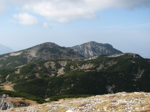
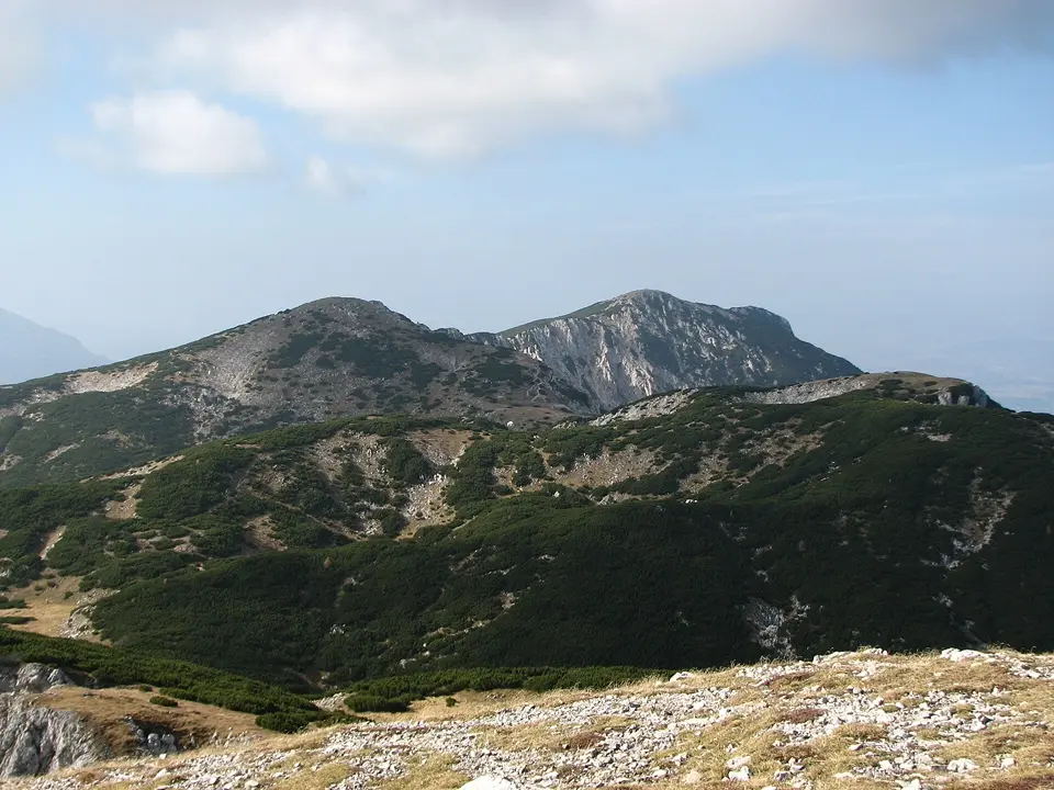
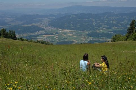
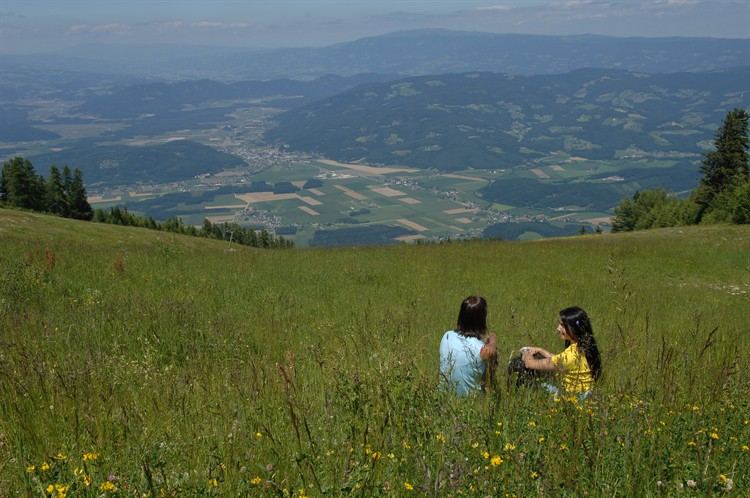
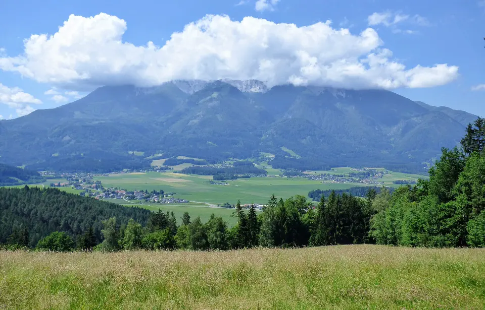
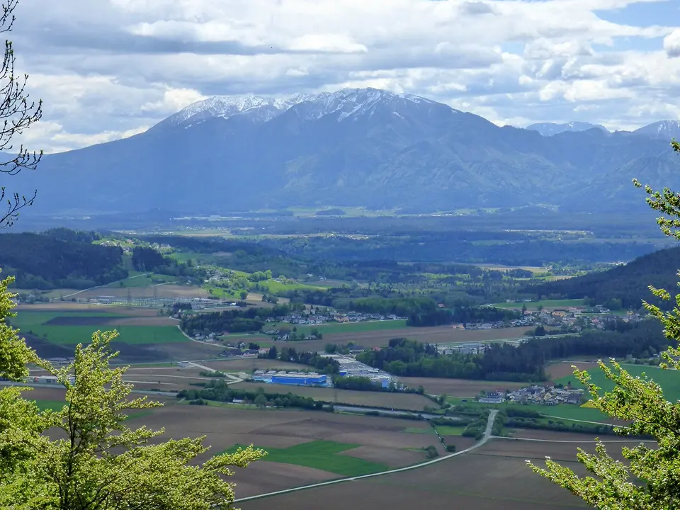
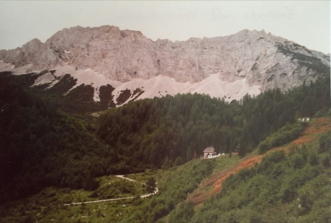
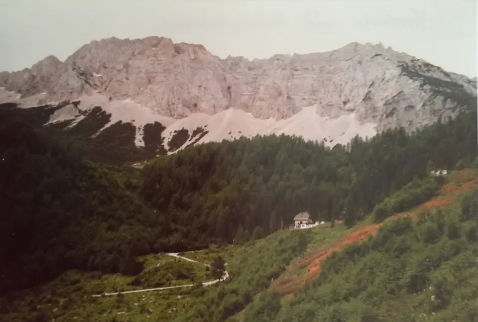
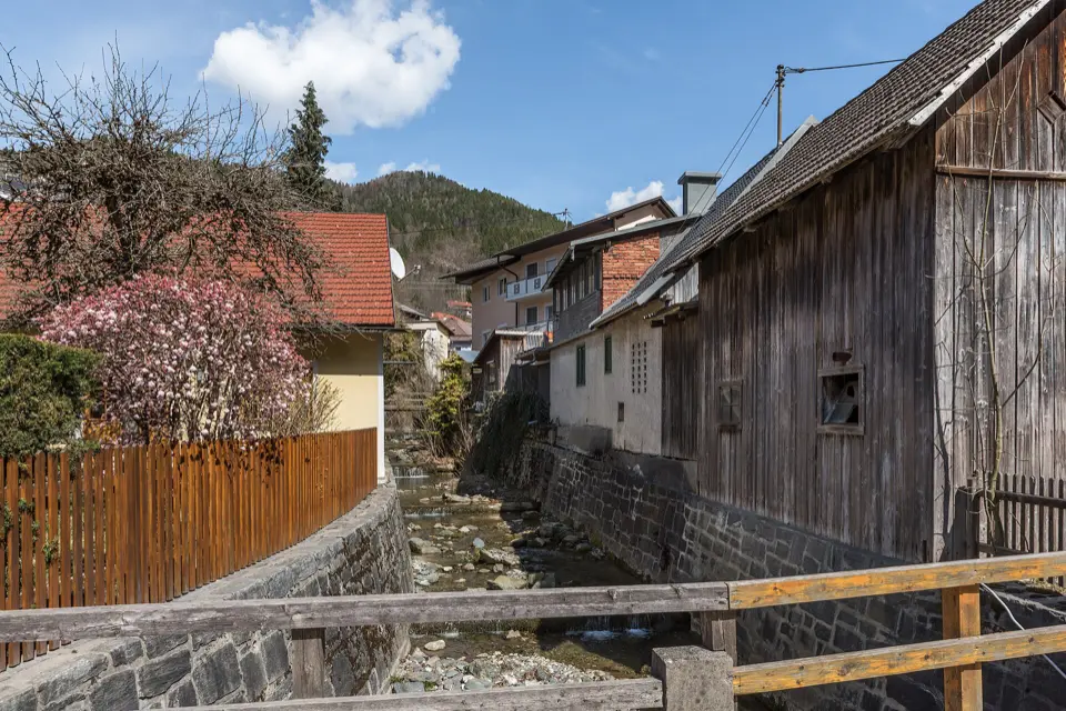
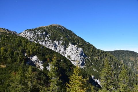
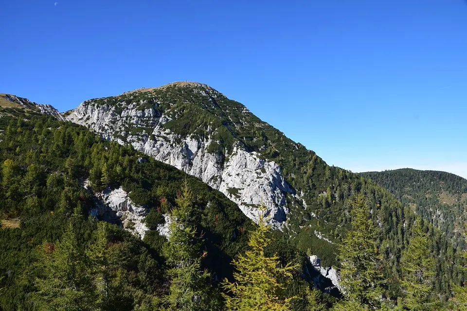
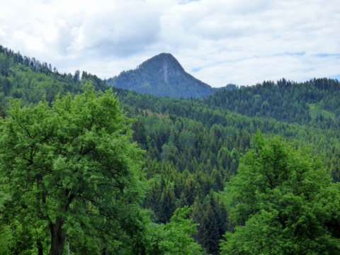
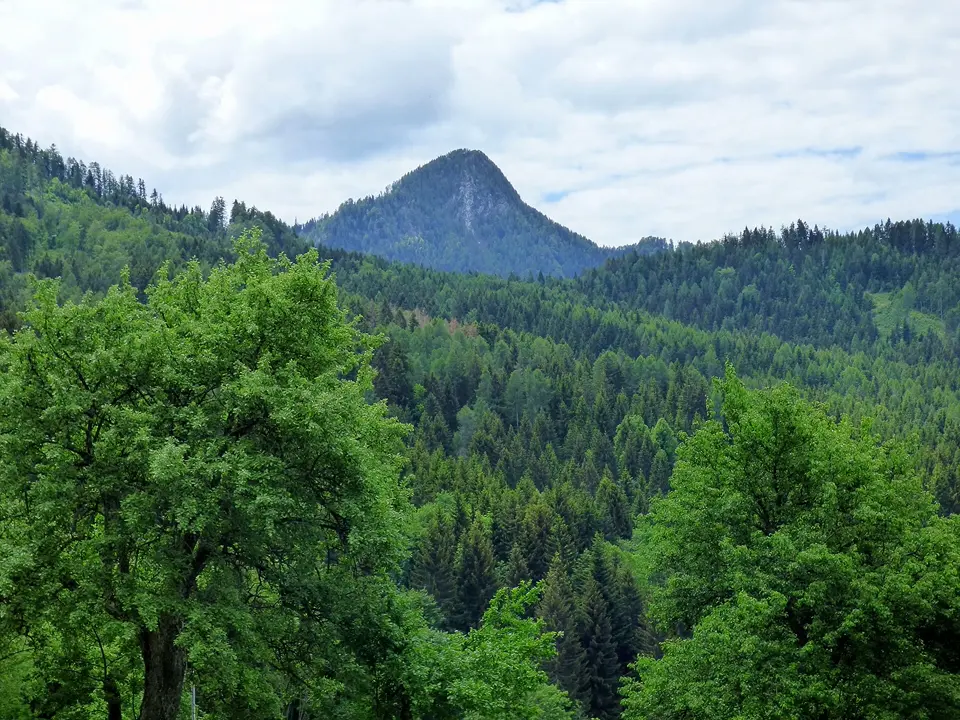
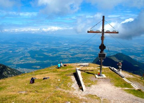
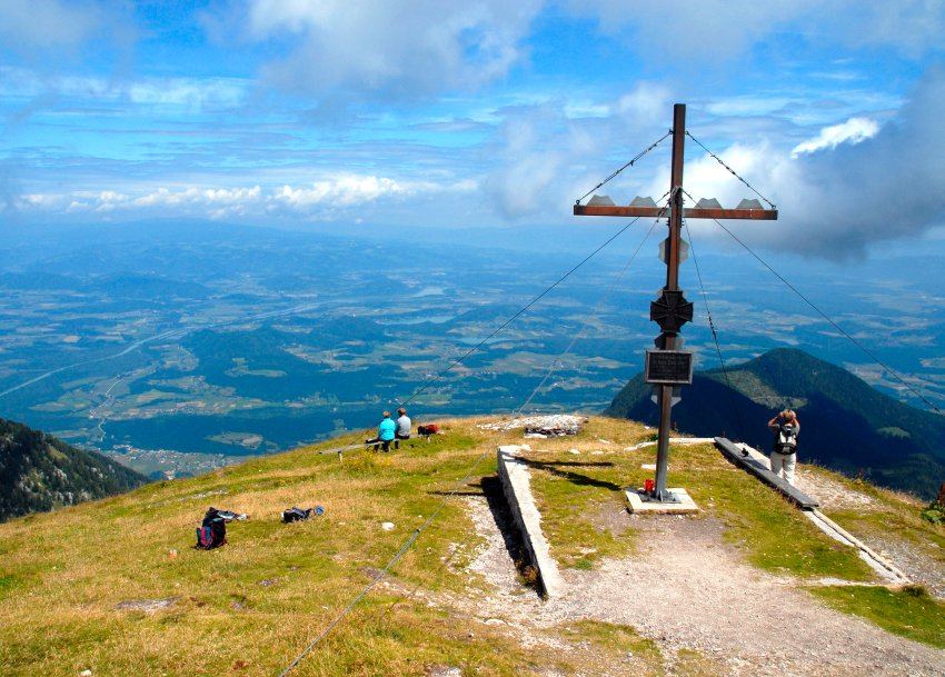
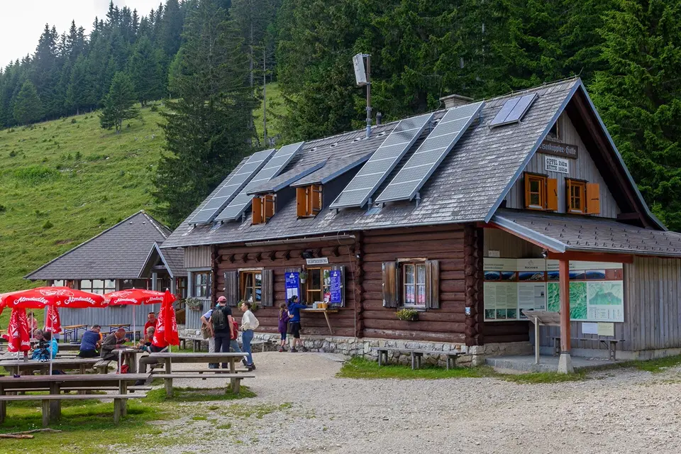
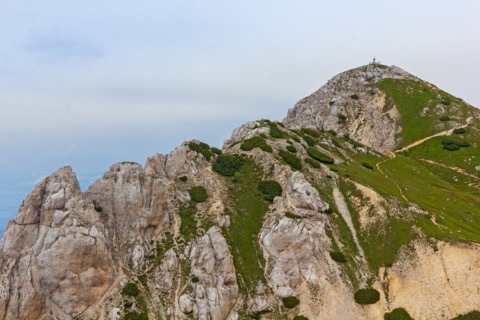
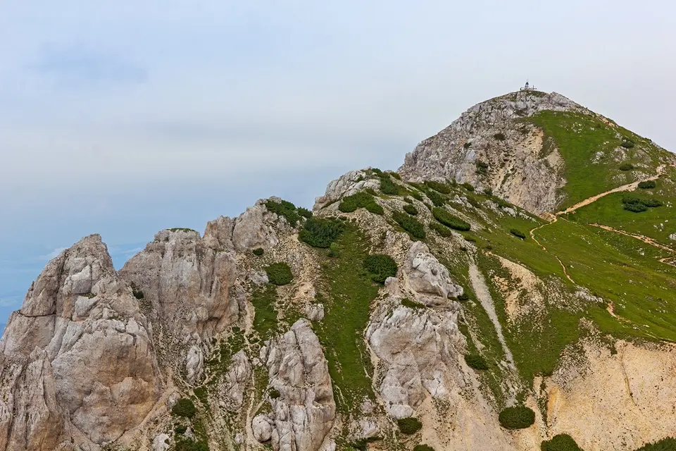
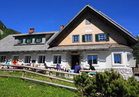
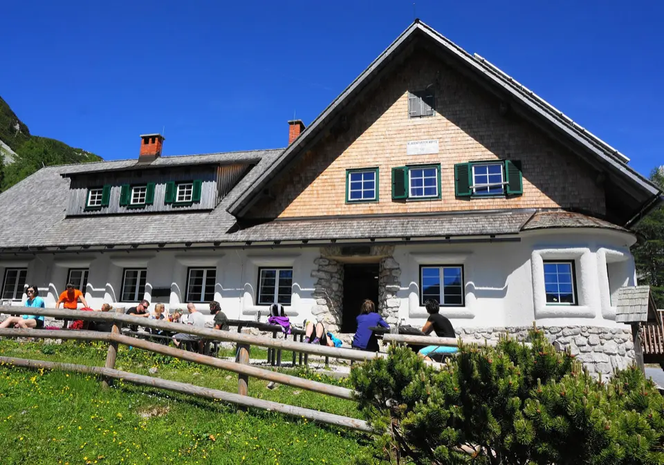
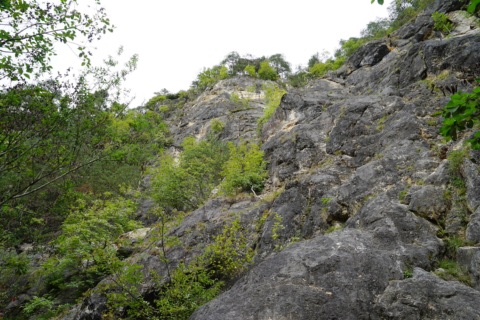
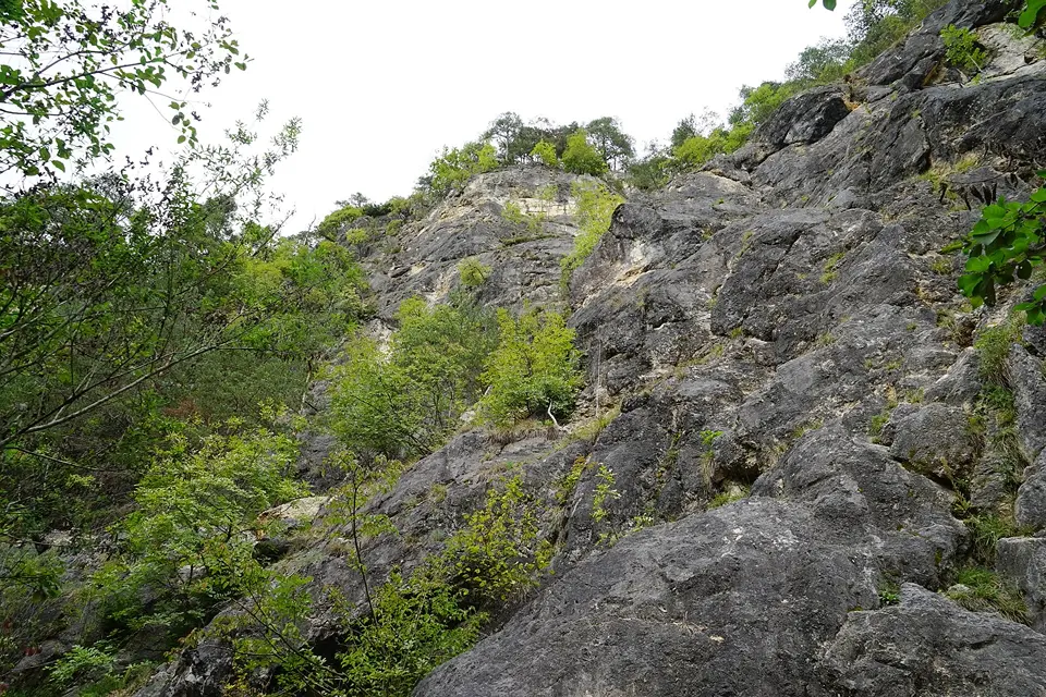
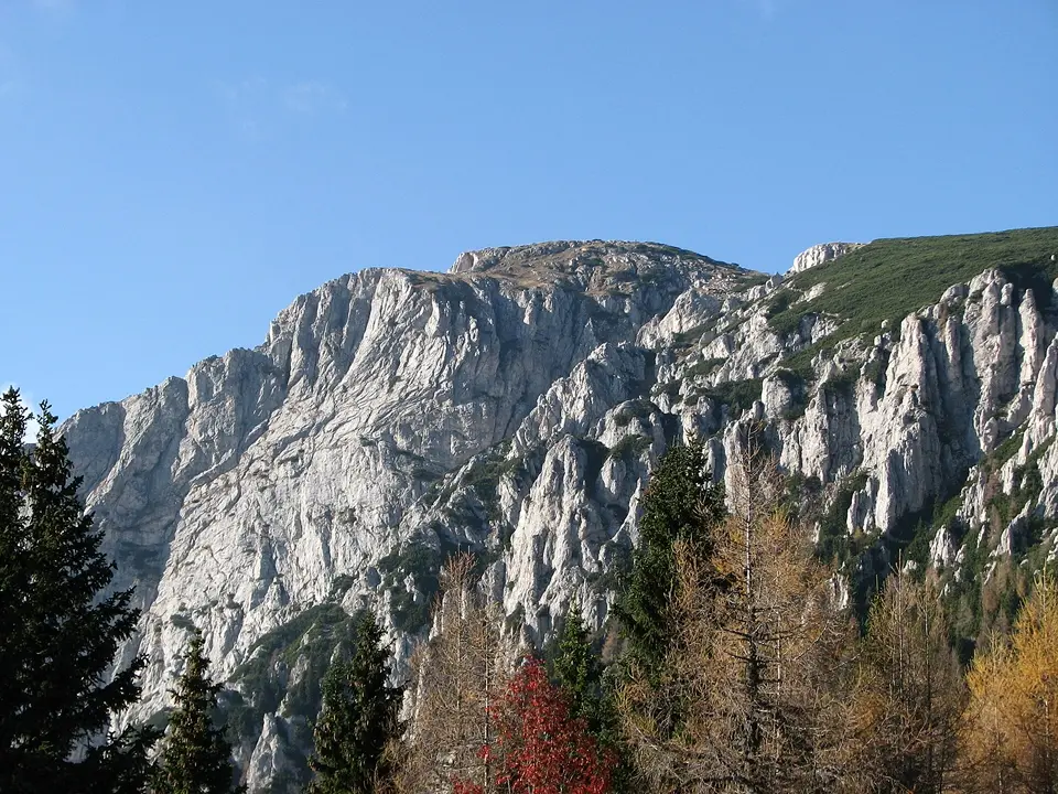
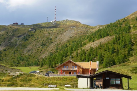
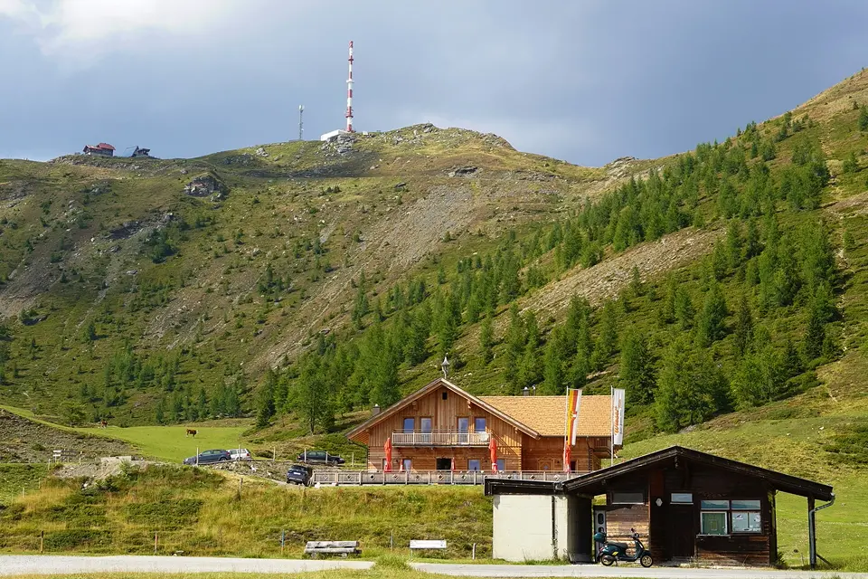
Fancy a view? Take the gondola up the Petzen, the toll road to the Eisenkappler Hütte, walk up the Hochobir or go from hut to hut on the Saualpe – plus via ferratas and the great Alpine roads.
This demanding full-day tour links the summits of the Petzen with a long descent into the valley. You take the cable car from Feistritz ob Bleiburg to the top station and hike via Siebenhütten and past the St. Anna chapel to the Kniepssattel. From there you climb up to the Feistritzer Spitze (2,113 m), the highest point of the circuit, with wide views over Carinthia and into Slovenia.
The way back follows Karawanks trail 603 (Karawanken-Weg) to the Luschasattel, across alpine pastures to the Wackendorfer Alm and finally through forest past the hunting lodge on the Dickenberg back to the valley station. At almost 20 kilometres and more than 2,000 metres of descent, the circuit is only suitable for sure-footed hikers with plenty of stamina. Start early, take enough water and food, and pack something for bad weather.
June–October (cable car operating season)
Petzen Bergbahnen Talstation, Unterort 52, 9143 Feistritz ob Bleiburg
At a glance
19.9 km, approx. 8.5 h
991 m ascent, 2,050 m descent
Highest point Feistritzer Spitze, 2,113 m
Difficulty: hard
Ride up on the Petzen cable car (summer season May to early November)
Our tips
Take the first cable car up so you are back in the valley before late afternoon.
Turn back if thunderstorms threaten – the ridge is exposed and offers no shelter.
Petzen – cable car, hiking & bike park24 km · 29 min by carThe Petzen is southern Carinthia’s very own mountain and can be seen clearly from our garden.Discount with Aktiv CardFree with Kärnten Card
The Petzen is southern Carinthia’s very own mountain and can be seen clearly from our garden. The gondola from Feistritz ob Bleiburg carries you comfortably up to around 1,700 m. At the top a wide panorama awaits you, over the Jauntal as far as the Carinthian lakes. From the top station, paths with great views lead off, for example via the Kniepssattel to the Kordeschkopf (2,126 m) right on the border with Slovenia – about three hours there and back. For families there is the “Zeitenweg” theme trail, climbers will find a via ferrata, and in summer there are guided sunrise hikes.
Mountain bikers know the Petzen above all for the Flow Country Trail: around 11 km long, it winds in gentle curves from the top station down into the valley and is one of the longest flow trails in Europe. The MTB zone also offers further trails, a practice course and a disc golf course. The Petzen has the longest summer season of all the cable cars in Carinthia.
Open in summer throughout our entire season (May–September); operating days on petzen.net
Kärnten Card: One free return trip per day between 9:00 and 16:15 (normal price €24)
At a glance
Valley station Feistritz ob Bleiburg, top station approx. 1,700 m
Kordeschkopf 2,126 m, Hochpetzen approx. 2,113 m
Flow Country Trail approx. 11 km, plus further trails, practice course, disc golf
“Zeitenweg” theme trail, via ferrata, sunrise hikes (June–September)
Part of the UNESCO Global Geopark Karawanken
Reduced fare up and down with the Aktiv Card
Our tips
Check operating days in advance on petzen.net.
On clear days go up early – the long-distance views are best in the morning.
Bike hire on site; solid basic technique is enough for the Flow Country Trail.
Petzen – Wandervogel descent to the valley (trail P6)24 km · 29 min by carUp by cable car, down on foot: the Wandervogel trail (P6) starts at the Petzen top station and takes you via the Alte Zollhütte and along the ski slope to the 3er-Boden by the pump house, on to the Mosthütte and finally back to the valley station.Discount with Aktiv Card
Up by cable car, down on foot: the Wandervogel trail (P6) starts at the Petzen top station and takes you via the Alte Zollhütte and along the ski slope to the 3er-Boden by the pump house, on to the Mosthütte and finally back to the valley station. Along the way you look far out over the Jauntal to the Klopeiner See and the Saualpe.
The descent is easy to moderate and takes about two to three hours. As it is downhill almost all the way, hiking shoes with a good tread and – if you like – poles to spare your knees are a good idea. With children who enjoy walking the tour is very doable; the Mosthütte is a good place for a rest. Time it so that you are still at the top before the last ride down, in case you decide to take the cable car after all.
May to early November (when the cable car runs), in spring and autumn usually Thu–Sun
Petzen Bergbahnen Talstation, Unterort 52, 9143 St. Michael ob Bleiburg
At a glance
Route: top station – Alte Zollhütte – 3er-Boden – Mosthütte – valley station
Walking time approx. 2–3 h, almost entirely downhill
Difficulty easy to moderate
Cable car 9:00–16:30 (last ride up 16:15)
Our tips
Buy just a one-way ticket up – it is cheaper than a return.
With the Aktiv Card Südkärnten you get a discount on the cable car at the ticket office.
Petzen – Zeitenweg & marble run (family trail)24 km · 29 min by carA short, pushchair-friendly circular path starts up at the Petzen top station: it takes you past the St. Anna chapel, the marble run, the reservoir and a fire pit and back to the cable car.Discount with Aktiv CardFree with Kärnten Card
A short, pushchair-friendly circular path starts up at the Petzen top station: it takes you past the St. Anna chapel, the marble run, the reservoir and a fire pit and back to the cable car. Part of it is the Zeitenweg (“path of time”) of the Geopark Karawanken – over about 280 metres every half metre stands for a million years, so children walk through 500 million years of Earth’s history.
At the stations children answer riddles and collect letters that spell out a secret word; pick up the riddle sheet beforehand at the GEO.DOM, where there is a small reward for solving it. Allow 30 to 60 minutes. Take a jacket even in high summer – at around 1,700 metres it is noticeably cooler than down by the lake.
May to early November (cable car operating), in spring and autumn usually Thu–Sun
Petzen Bergbahnen Talstation, Unterort 52, 9143 St. Michael ob Bleiburg
Kärnten Card: One free return trip per day on the Petzen cable car to the start of the trail
At a glance
Circular path from the top station, approx. 30–60 min
Pushchair-friendly, easy
Zeitenweg approx. 280 m: 0.5 m = 1 million years
Stations: St. Anna chapel, marble run, reservoir, fire pit
Our tips
Pick up the geo riddle sheet at the GEO.DOM right at the start, so the children have a task along the way.
With the Aktiv Card Südkärnten you ride the gondola at a reduced fare.
Petzen taster tour with a Geopark guide24 km · 29 min by carThe gondola takes care of the first 1,000 metres of ascent; at the top a guide from the UNESCO Global Geopark Karawanken sets off with you on a short panoramic loop: past the ruins of the old Bleiburger Hütte up to the Kniepssattel and back to the top station.Free with Aktiv CardFree with Kärnten Card
The gondola takes care of the first 1,000 metres of ascent; at the top a guide from the UNESCO Global Geopark Karawanken sets off with you on a short panoramic loop: past the ruins of the old Bleiburger Hütte up to the Kniepssattel and back to the top station. Along the way you learn a lot about the rocks, plants and history of the Petzen. Suitable for children aged 10 and over with the stamina for it.
Late June to early September, Tuesdays 9:00–11:30
Petzen Bergbahn Talstation, Unterort 52, 9143 St. Michael ob Bleiburg
Kärnten Card: One free return trip per day on the Petzen cable car (the guided tour is free)
At a glance
Guided tour free with the Aktiv Card; return trip up and down €21 with the Aktiv Card, free with the Kärnten Card (as of 2026)
Meeting point: valley station of the Petzen cable car, Unterort 52, 9143 St. Michael ob Bleiburg
Book 48 hours ahead with the Geopark, tel. +43 4238 8239 15
From age 10, takes approx. 2.5 h
Our tip
Pack sturdy shoes, poles, rain gear, a snack, a drink, sun protection and a spare shirt – it is much cooler up there than at the lake.
From June to September the Petzen Bergbahnen offer sunrise hikes on selected dates. They start early in the morning on the karst plateau above the top station at 1,708 m, and you watch the sun rise over the Jauntal and the Karawanks. The meeting point, time, programme and whether an early ride on the cable car is included are not published online. So please ask the Petzen Bergbahnen directly in advance and sign up. Bring a head torch, warm clothing and sturdy shoes.
Please check dates and times with the organiser before you go.
Selected dates June–September, ask the Petzen Bergbahnen for dates
Petzen Bergbahnen Talstation, Unterort 52, 9143 Feistritz ob Bleiburg
At a glance
Dates June to September (according to petzen.net)
Cable car top station 1,708 m
Valley station: Unterort 52, Feistritz ob Bleiburg
Information and booking: +43 4235 2246, office@petzen.net
Our tip
When you sign up, ask whether you ride up by cable car or walk up, as in normal operation the cable car only runs from 9:00.
With Peakgliders you fly tandem with an experienced pilot over the Jauntal. Take-off is just below the top station of the Petzen cable car; the meeting point is the valley station in Unterort. Flights only go ahead in good weather with little wind, so the club arranges the date with you at short notice and offers an alternative date if the weather is unsuitable. Photos or a video of the flight can be booked as an extra.
While the Petzen cable car runs in summer, calm weather only
Talstation Petzen Bergbahnen, Unterort 52, 9143 Feistritz ob Bleiburg
At a glance
Take-off below the Petzen top station, meeting point valley station Unterort
€159 per person, groups of 3 or more and children €134 (as of 2026), cable car ticket extra
Bookable online, phone +43 677 624 185 95
Our tips
Book right at the start of your holiday so that there are still spare days if the weather is bad.
Wear sturdy shoes and a jacket – it is noticeably cooler at the take-off site than in the valley.
The panorama restaurant “oben” sits right at the top station of the Petzen cable car. From the terrace you look out over the Jauntal and the Völkermarkter Stausee to the Karawanks and, on a clear day, far across Lower Carinthia. It is a good place to stop after a hike in the Geopark Karawanken or after a ride on the Flow Trail. It is open whenever the cable car is running.
When the cable car is running: May to early November (main season mid-June to mid-September daily), and in winter
Panoramarestaurant oben, Petzen Bergstation, 9143 Feistritz ob Bleiburg
At a glance
At the top station of the Petzen cable car
Open during the cable car’s operating hours (in summer usually 9:00–16:30)
Summer season May to early November, daily from mid-June to mid-September
Our tip
Check the operating times on petzen.net before you set off – outside the main season the cable car only runs on certain days.
Krischahütte on the Petzen (1,670 m)29 km · 1 h 20 min by carThe Krischahütte is a hunting hut at 1,670 metres on the north side of the Petzen, below the top station of the Petzen cable car.
The Krischahütte is a hunting hut at 1,670 metres on the north side of the Petzen, below the top station of the Petzen cable car. It is not staffed – you can’t stop for food or drink here – but it is an important landmark in the path network: this is where the Krischasteig (P3/603) from the valley station in Feistritz ob Bleiburg, the descent from the top station and the upper Petzen loop (Oberer Petzen-Rundmarsch, P4) meet.
On the loop you walk from the top station via the Knieps saddle to the Hochpetzen summit (Feistritzer Spitze, 2,113 m) and back via the Neubersch-Steig and the Krischa hunting hut – about four hours, moderate to difficult, sure-footedness required. The approach to the Walter-Mory-Klettersteig also passes the hut. Take enough water and provisions with you.
June–October
Krischahütte, Petzen, 9143 Feistritz ob Bleiburg
At a glance
Unstaffed hunting hut, 1,670 m
Waypoint on the Krischasteig (P3/603) and the upper Petzen loop (P4)
P4 loop approx. 4 h, moderate to difficult
Our tips
Before you set off, check on petzen.net whether the cable car is running.
Plan your food stop at the huts by the top station, not at the Krischahütte.
Hochobir from the Wildensteiner Wasserfall9.2 km · 37 min by bike · 15 min by carThis is the sporty way up the Hochobir: from the car park in the Wildensteiner Graben near Gallizien you first walk about 15 minutes to the 54-metre Wildensteiner Wasserfall, then carry on up a steep path to the right of it towards the Hochobir.
This is the sporty way up the Hochobir: from the car park in the Wildensteiner Graben near Gallizien you first walk about 15 minutes to the 54-metre Wildensteiner Wasserfall, then carry on up a steep path to the right of it towards the Hochobir. Through mixed forest you reach the Hoffmannsalpe at 1,260 m with its old lead-mining tunnels, then continue over meadows and through beech forest to the Seealpe at around 1,700 m, past the “Kalte Quelle” (cold spring) and the ruins of the Rainer-Schutzhaus, up to the summit cross at 2,139 m.
With around 1,600 metres of ascent, this is a long day hike for sure-footed hikers with plenty of stamina – allow about five hours to the summit, plus time for the descent. With a short detour from the Seealpe you can stop for refreshments at the Eisenkappler Hütte (open May to October, cash only). Bring plenty of water, sturdy hiking boots and weather protection, and start early in the morning.
Kugyweg: Gallizien – Freibachtal – Koschutahaus9.8 km · 35 min by bike · 14 min by carThis long point-to-point hike in the footsteps of the mountaineer Julius Kugy takes you in one day from the Drava valley to the foot of the Koschuta.
This long point-to-point hike in the footsteps of the mountaineer Julius Kugy takes you in one day from the Drava valley to the foot of the Koschuta. You start in the centre of Gallizien, follow the Way of St James along the Annabrücke reservoir via Abriach and climb via Oberdörfl and Jure into the Freibachtal. Past the Freibach reservoir and through Dražja vas you reach the Gasthaus Terklbauer – a good place for a rest and the point where you can also break off the tour.
After that, the Südalpenweg 603 takes you up to the Mejniksattel (1,501 m), the highest point, and down across the Grosalm to the Naturfreunde Koschutahaus in Zell. At 26.6 kilometres, around 1,285 metres of ascent and about eight hours’ walking, the tour is only meant for fit, sure-footed hikers. In wet conditions, take care at the Freibach crossing, on the short climb near Dražja vas and before the Mejniksattel.
June–October
Gallizien Ortsmitte, 9132 Gallizien
At a glance
26.6 km, approx. 8 h walking time, moderate
Approx. 1,285 m ascent, 450 m descent
Highest point Mejniksattel 1,501 m
Start Gallizien centre, finish Koschutahaus (Zell-Koschuta 4)
Our tips
It’s a one-way route: organise your return in advance – at weekends there is only an on-demand bus, or you will need a taxi.
Start early in the morning (the route description recommends 7:00) and take plenty of water.
Panoramaweg Südalpen: Lobnigtal variant Bad Eisenkappel – Alpengasthof Riepl15 km · 51 min by bike · 17 min by carThis quiet variant of the Panoramaweg Südalpen starts in the middle of Bad Eisenkappel and follows the Lobnigbach eastwards through the narrow, wooded Lobnigtal.
This quiet variant of the Panoramaweg Südalpen starts in the middle of Bad Eisenkappel and follows the Lobnigbach eastwards through the narrow, wooded Lobnigtal. First on path no. 603, later on long-distance trail 06, you climb gradually to the Luschaalm, where the Alpengasthof Riepl (Tschemer) stands at about 1,200 metres. The church on the Luschasattel is always open and invites you to take a break.
The route is just under 11 kilometres long, with about 780 metres of ascent, and takes about three and three-quarter hours. It is technically easy, runs mostly on natural paths and suits anyone who enjoys long, steady uphill walking – dogs manage well too. As it is a point-to-point route, you should arrange your return (second car, taxi) in advance or walk back the same way.
May–October
Tourismusinformation Bad Eisenkappel, Hauptplatz, 9135 Bad Eisenkappel
At a glance
10.9 km, approx. 3¾ h, 784 m ascent
Highest point approx. 1,250 m
Easy, mostly natural paths
Start in the centre of Bad Eisenkappel at the tourist information
Our tips
Call the Alpengasthof Riepl beforehand (tel. 04238 82803) to check it is open on your day – there is nowhere else to stop on the way.
Take plenty of water; it is often humid in the valley.
Panoramaweg Südalpen stage 9: Terklbauer – Hochobir – Eisenkappler Hütte21 km · 25 min by carThis stage of the Panoramaweg Südalpen long-distance trail crosses the Hochobir (2,139 m), the distinctive limestone massif you see to the south from the Turnersee.
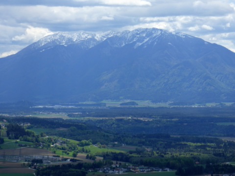
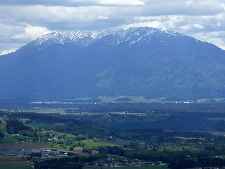
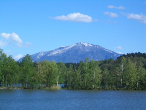
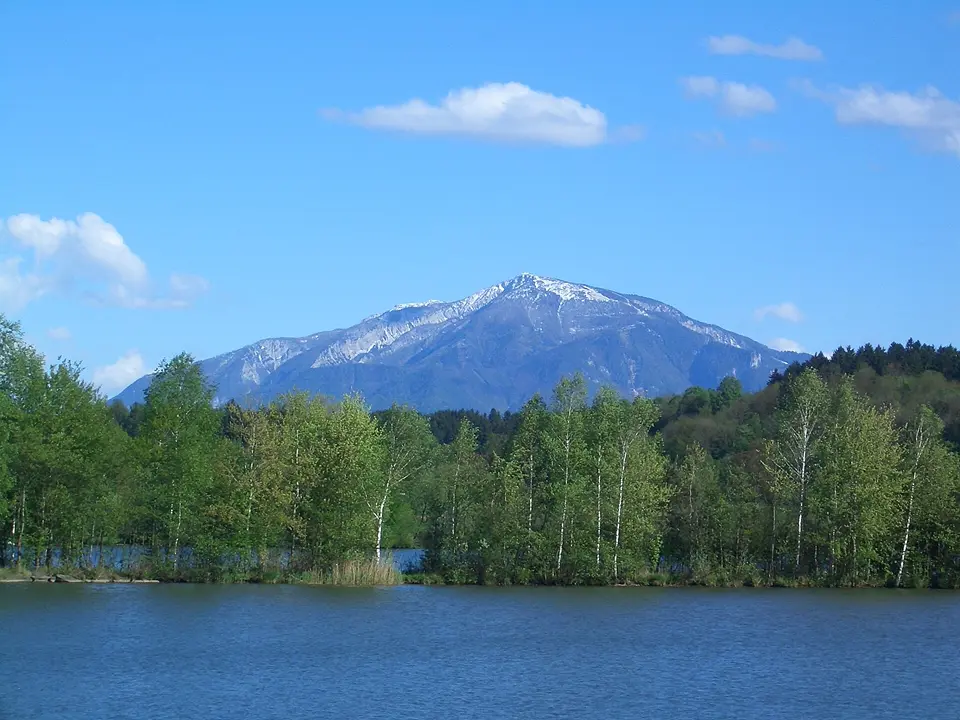
This stage of the Panoramaweg Südalpen long-distance trail crosses the Hochobir (2,139 m), the distinctive limestone massif you see to the south from the Turnersee. From the Gasthof Terklbauer near Zell-Freibach you first follow the road to the Schaidasattel, then the marked Simon-Rieger-Steig (no. 623) up through woods and over alpine meadows to the ruins of the Rainer-Schutzhaus. From there it is a steep ten-minute climb to the summit cross, with a wide view over Lower Carinthia, the lakes and the Kamnik Alps (Steiner Alpen).
With around 11 kilometres, 1,250 metres of ascent and about five hours of walking, this is a day tour for sure-footed hikers with stamina – technically the path is not exposed. The descent leads over grassy ridges and through woods to the Eisenkappler Hütte. As the stage is not a loop and there is no bus connection, you will need a second car or a taxi to get back.
June–October
Gasthof Terklbauer, Zell-Freibach, 9170 Zell
At a glance
11 km, approx. 5 h, 1,250 m ascent, 550 m descent
Highest point: Hochobir summit 2,137 m
Moderate, not exposed, stamina needed
Point-to-point route, no public transport back
Our tips
Set off early in the morning: the south slope gets hot at midday, and thunderstorms often build up on summer afternoons.
For a shorter version, drive up the toll road to the Eisenkappler Hütte and climb to the summit from there in about 2 hours.
Oistra / Ojstra (1,577 m)22 km · 35 min by carThe Oistra – Ojstra in Slovenian – is a quiet wooded summit in the Lobnig high valley east of Bad Eisenkappel, right on the border with Slovenia.
The Oistra – Ojstra in Slovenian – is a quiet wooded summit in the Lobnig high valley east of Bad Eisenkappel, right on the border with Slovenia. The starting point is the Wögel farm, where you can also park. On the shortest route, marked red-white-red, you reach the summit cross in a little over an hour; it was put up by the ÖTK Südkärnten section, and there is a summit book too.
As a circular hike (just under 10 km, about 690 metres of ascent, roughly two and a half hours of walking) you descend on path 671 to the Prevniksattel and return to the farm on the paved Lobnigstraße and hiking path 603. The tour is moderate and suitable for families, but it calls for sturdy hiking boots and some sure-footedness. There are no huts on the way – take a packed lunch and plenty of water.
May–October
Bauernhof Wögel, Lobnig 21, 9135 Bad Eisenkappel
At a glance
Summit 1,577 m, border mountain with Slovenia
Circular tour approx. 9.8 km, approx. 690 m of ascent, approx. 2.5 h walking
Moderate difficulty (T2), marked paths 671 and 603
Start and parking at the Wögel farm, Lobnig
Our tips
Drive into the Lobnig high valley via Bad Eisenkappel – the access road via Leppen is closed at times.
There is nowhere to stop for food on the way, so pack provisions and drinks.
Step-free route to the Eisenkappler Hütte (with a power attachment)22 km · 33 min by carThe inclusion team of the Austrian Alpine Club (Alpenverein) described this route to the Eisenkappler Hütte on the Hochobir for wheelchair users with an electric power attachment (such as a Swiss-Trac) and tested it themselves.
The inclusion team of the Austrian Alpine Club (Alpenverein) described this route to the Eisenkappler Hütte on the Hochobir for wheelchair users with an electric power attachment (such as a Swiss-Trac) and tested it themselves. You start in front of the barrier at the toll station of the Obir road; from there you climb almost the whole way on the asphalted toll road up to the hut at just over 1,550 m. There and back it is 16.2 km with about 670 m of ascent, more than 97 per cent of it on asphalt. You can park along the road before the toll station.
Allow about five hours including breaks. The gradient is noticeable throughout, so a fully charged battery and a companion are a good idea. You share the road with cars and cyclists, so keep an eye on the traffic. At the top, a stop at the ÖTK hut with its view of the Karawanks is well worth it. Ring ahead to check whether the hut is open and which toilet and entrance will suit you.
June–September
Mautstelle Obir-Straße, 9135 Bad Eisenkappel
At a glance
16.2 km there and back, approx. 670 m ascent
Approx. 5 h including breaks
Over 97% asphalted toll road
Tested for wheelchairs with a power attachment (e.g. Swiss-Trac)
Start: toll station of the Obir road
Our tips
Start with a full battery and keep enough braking reserve for the descent.
Ring the hut beforehand (+43 664 4039569) to check whether it is open.
Hochobir panoramic road to the Eisenkappler Hütte22 km · 33 min by carFrom the toll station above the Ebriach valley near Bad Eisenkappel, the Hochobir panoramic road (Hochobir-Panoramastraße) winds about 8 kilometres up through mountain forest to the Eisenkappler Hütte at 1,553 m. Along the way, views keep opening up of the …
From the toll station above the Ebriach valley near Bad Eisenkappel, the Hochobir panoramic road (Hochobir-Panoramastraße) winds about 8 kilometres up through mountain forest to the Eisenkappler Hütte at 1,553 m. Along the way, views keep opening up of the Karawanks and down into the Jauntal. The narrow mountain road is only open from early May to the end of October. You pay the toll at a machine, with coins only.
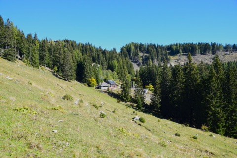
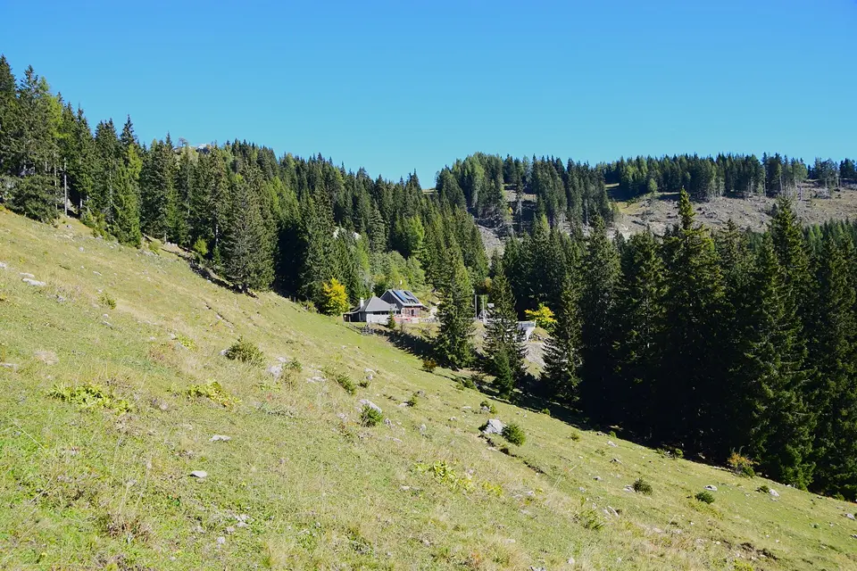
At the Austrian Tourist Club (ÖTK) hut you can stop for a bite or continue on foot: on an easy mountain path you reach the summit of the Hochobir (2,139 m) in about two hours, with a panoramic view from the Julian Alps to the Koralpe. Even if you don’t want to go to the top, there are alpine meadows around the hut for a short walk and a rest.
May–October
Mautstelle Hochobir Panoramastraße, 9135 Bad Eisenkappel
At a glance
Length approx. 8 km, destination Eisenkappler Hütte (1,553 m)
Open 1 May to 31 October
Toll payable in coins only, no cards or notes
Hochobir summit (2,139 m) approx. 2 h from the hut
Our tips
Bring enough coins – the toll machine takes neither notes nor cards.
In May the hut is often only open Friday to Sunday; ring ahead to check (+43 664 4039569).
Hike into the Koschutniktal (Zell)23 km · 26 min by carIn the high valley of Zell, one of the quietest areas of southern Carinthia, an easy loop leads from Zell-Pfarre (Sele-Fara) into the Koschutniktal.
In the high valley of Zell, one of the quietest areas of southern Carinthia, an easy loop leads from Zell-Pfarre (Sele-Fara) into the Koschutniktal. You walk along forest and farm tracks and short woodland paths, past scattered mountain farms, to the Koschutnikbauer farm. From there you have a particularly impressive view of the pale limestone walls of the Koschuta with the 2,136 m Koschutnikturm. Then the way leads back through the forest to the starting point.
The loop is 8 km long, has just over 200 m of ascent and takes about two and a half hours. It is suitable for families and for dogs on a lead. Because around half of it is tarmac or gravel, you make good progress even after rain. There is nowhere to stop for food along the way, so bring snacks and drinks. The drive leads from Ferlach along the winding Waidischer Landesstraße.
May–October
Bushaltestelle Zell-Pfarre Mlakar, 9170 Zell
At a glance
Loop 8.1 km, approx. 2 h 20 min
Approx. 205 m of ascent, highest point 1,051 m
Easy, lots of forest and farm tracks
Start: Zell-Pfarre Mlakar bus stop
Our tips
There is no parking at the start itself, so park in the village centre of Zell-Pfarre.
The Koschuta walls are in the best light in the morning.
Topitza (1,649 m) – circular walk from the Riepl farm27 km · 35 min by carThe Topitza is a wooded foothill of the Karawanks above the Jauntal, with a summit cross and a view across the Lower Carinthian basin to the Saualpe.
The Topitza is a wooded foothill of the Karawanks above the Jauntal, with a summit cross and a view across the Lower Carinthian basin to the Saualpe. The circular walk starts at the Riepl farm below the Luschaalm, where you leave your car. The marked route follows a forest road at first, then a woodland path through open mixed forest and across meadows to the summit. The descent leads to the Wögel farm, after which you walk along the Southern Alps long-distance trail 603, past the mountain farms of Topitschnik and Peternel, back to Riepl.
For the just under 9 km and around 700 metres of ascent, allow about 3½ to 4 hours. Because the path runs mostly through forest, the tour is also very doable on hot summer days and suits sure-footed families with children who are used to longer hikes. Bring sturdy shoes and enough to drink – there is no hut along the way.
Hochobir & Eisenkappler Hütte30 km · 52 min by carAt 2,139 m the Hochobir is the highest peak of the northern Karawanks – and one of the finest viewpoints in Carinthia.
At 2,139 m the Hochobir is the highest peak of the northern Karawanks – and one of the finest viewpoints in Carinthia. From the summit the view stretches over the Drava valley, the Klopeiner See and many Carinthian lakes far into the Alps. The easiest route starts at the Eisenkappler Hütte at around 1,555 m, which you reach by car via the Obir-Alpenstraße toll road.
From the hut, a well-trodden hiking path leads first through the forest and then above the tree line to the summit in about an hour and a half. In summer rare alpine flowers bloom along the way. Allow around three and a half hours’ walking for the round trip. Fitter hikers start lower down, for example from the Schaidasattel or the Wildensteiner Wasserfall. To round things off, we recommend a hearty Carinthian Jause (cold platter) on the terrace of the Eisenkappler Hütte.
The hut is open throughout our entire season (May–September)
At a glance
Height 2,139 m, highest peak of the northern Karawanks
Eisenkappler Hütte approx. 1,555 m, access via an alpine toll road
Hut – summit approx. 1.5 h; there and back approx. 5.8 km, approx. 3.5 h
Alternative ascents: Schaidasattel, Wildensteiner Wasserfall
Our tips
Have cash ready for the toll.
Set off early – in summer thunderstorms often build up in the afternoon.
Take a warm layer even in high summer; it is windy at the summit.
Check the hut’s opening times in advance in early summer.
Eisenkappler Hütte (1,553 m)30 km · 53 min by carThe Eisenkappler Hütte of the Austrian Tourist Club (ÖTK) sits at 1,553 m above sea level on the flank of the Hochobir.
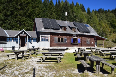
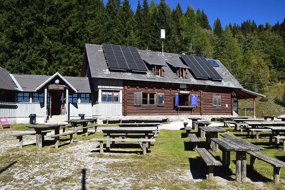
The Eisenkappler Hütte of the Austrian Tourist Club (ÖTK) sits at 1,553 m above sea level on the flank of the Hochobir. You can drive up the Obir road (toll) from Bad Eisenkappel and park right by the hut. That makes it one of the few mountain huts in the area where families with small children or less experienced walkers can sit at alpine-pasture height without a long climb – with an open view of the Karawanks.
For hikers the hut is the usual starting point for the Hochobir (2,139 m): the waymarked path takes about an hour and a half to the summit. If you don’t want to go all the way up, take a short stroll across the alpine meadows and then stop for a snack. The hut is open from May to October and also has beds; please ring ahead if you want to stay the night. Bring sturdy shoes and a jacket – up there it is noticeably cooler than down by the lake.
May–October
Eisenkappler Hütte, Eisenkappel 145, 9135 Bad Eisenkappel
At a glance
Altitude 1,553 m, access via toll road, car park at the hut
Run by the ÖTK, hut warden Reinhard Gesson
Open May to October
Hochobir summit (2,139 m) approx. 1.5 h
Tel. +43 664 4039569
Our tips
The toll is paid in coins – bring small change.
In the early and late season, ring ahead to check whether the hut is open.
Sunrise on the Hochobir (2,139 m)30 km · 53 min by carThe Hochobir is the highest mountain of the northern Karawanks, and on clear summer mornings its summit is one of the most beautiful places to watch the sun rise.
The Hochobir is the highest mountain of the northern Karawanks, and on clear summer mornings its summit is one of the most beautiful places to watch the sun rise. Drive up the Obir toll road, around 8 km long, to the Eisenkappler Hütte at 1,553 m. From there it takes about two hours on foot, in the dark with a head torch, on a well-marked, technically easy path to the summit cross, climbing around 590 metres.
At the top the view reaches west to the Hohe Tauern, north to the Saualpe, east to the Petzen and south to the Karawanks and the Kamnik Alps (Steiner Alpen). Below the summit you’ll find the ruined walls of the old Rainer-Schutzhaus. This was the site of one of the first weather stations in the Alps, destroyed in the Second World War. Allow four to five hours there and back. Bring a head torch, warm clothing, a windproof jacket and breakfast. The tour suits sure-footed adults and older children with some stamina.
Klagenfurter Hütte in the Bärental51 km · 1 h 25 min by carThe Alpine Club’s Klagenfurter Hütte stands at 1,663 m above sea level on the Matschacher Alm, right below Hochstuhl and Bielschitza on the border with Slovenia.
The Alpine Club’s Klagenfurter Hütte stands at 1,663 m above sea level on the Matschacher Alm, right below Hochstuhl and Bielschitza on the border with Slovenia. The easiest approach starts at the Johannsenruhe car park at the end of the Bärentalstraße (municipality of Feistritz im Rosental): on the waymarked path 603 you follow a wide gravel forest road, which you can bypass on marked shortcuts, and reach the hut in about one to one and a half hours with some 420 metres of ascent. The path is also suitable for families with sure-footed children.
The hut kitchen serves food daily from 11:00 to 20:00, and on the terrace you sit looking at the rock faces of the Karawanks. From here you can carry on: up the Geißberg (Kosiak, 2,011 m) in about an hour, the Bielschitza in about an hour, or the Hochstuhl (2,249 m), the highest peak of the Karawanks, in around two and a half hours. If you’d like to stay overnight, bring a hut sleeping bag.
June–October
Parkplatz Johannsenruhe, Bärentalstraße, 9181 Feistritz im Rosental
At a glance
1,663 m above sea level, Matschacher Alm
Approach from the Johannsenruhe car park approx. 1–1.5 h, about 420 m ascent, path 603
Kitchen daily 11:00–20:00, June to October
Up to 39 beds, tel. +43 4228 20516
Our tips
For Bielschitza, Hochstuhl and Vertatscha the route crosses the border into Slovenia – take ID with you.
The last stretch of the Bärentalstraße to the Johannsenruhe is gravel; if need be, park further down at the Stouhütte and allow 1.5 to 2 hours’ walking.
Diex panorama trail29 km · 31 min by carDiex lies at about 1,150 metres on a sunny plateau on the southern edge of the Saualpe and, with over 2,000 hours of sunshine a year, is one of the sunniest places in Carinthia.
Diex lies at about 1,150 metres on a sunny plateau on the southern edge of the Saualpe and, with over 2,000 hours of sunshine a year, is one of the sunniest places in Carinthia. The panorama trail is a leisurely loop of a good 12 kilometres with around 320 metres of ascent: from the municipal office it heads towards the Haimburgerberg, past the Gasthof Petschnighof and scattered farms, over the Verhounigkreuz to Grafenbach and from there back to Diex. Along the way you look far out over the Jauntal to the Karawanks.
Allow about three and a half hours for the loop. The paths are wide, partly paved and suitable for pushchairs – a good choice for families and for days when it is hot down in the valley. Before or after the walk, take a look inside the fortified church of St. Martin in the middle of the village, one of the best-preserved fortified church complexes in Carinthia. Dogs on a lead are welcome.
May–October
Gemeindeamt Diex, 9103 Diex
At a glance
Loop 12.1 km, approx. 3½ h
Ascent and descent approx. 320 m each, highest point 1,317 m
Easy, wide paths, suitable for pushchairs
Start and car park at the Diex municipal office
Our tips
Take sun protection – there is little shade on the plateau.
You can stop for food at the Gasthof Petschnighof on the route; check the opening times beforehand.
Hiking in Diex29 km · 31 min by carDiex lies at around 1,150 metres on a sunny plateau on the southern slope of the Saualpe and, with over 2,000 hours of sunshine a year, is one of the sunniest mountain villages in Austria.
Diex lies at around 1,150 metres on a sunny plateau on the southern slope of the Saualpe and, with over 2,000 hours of sunshine a year, is one of the sunniest mountain villages in Austria. Around the village, more than 100 kilometres of waymarked paths lead through forest, across alpine meadows and past farmsteads, pilgrimage churches and places of power. The usual starting point is the fortified church of St. Martin in the village centre, one of the best-preserved fortified church complexes in Carinthia.
A good introduction is the Diex panorama trail (Panoramaweg Diex): around 12 kilometres in about three and a half hours, with wide views across the Jauntal to the Karawanks and a detour to the late Gothic church of St. Magdalena in Grafenbach. The circuit is moderate and also manageable for families with children who enjoy walking. Take sturdy shoes, sun protection and enough to drink, as there is little shade on the plateau.
May–October
Gemeindeamt Diex, Diex, 9103 Diex
At a glance
Over 100 km of waymarked paths
Hiking map for €1 at the Diex municipal office
Panorama trail approx. 12 km, approx. 3.5 h, highest point approx. 1,320 m
Village centre at approx. 1,150 m above sea level
Our tips
You can get the hiking map at the municipal office during opening hours; the routes are also on touren.kaernten.at.
Save the circuit for a clear day – then the view reaches all the way to the Karawanks.
Hut loop on the Saualpe (IVV trail)50 km · 1 h by carThe Saualpe is a broad, gently rolling ridge between the Görtschitztal and the Lavanttal whose alpine meadows reach far above the tree line.
The Saualpe is a broad, gently rolling ridge between the Görtschitztal and the Lavanttal whose alpine meadows reach far above the tree line. This loop starts at the Steinerhütte in St. Oswald above Eberstein and first climbs to the summit cross of the Großer Sauofen. Across the open plateau you walk over to the Wolfsberger Hütte on the Lavanttal side, then on via the Ladinger Kreuz to the Gertrusk and the Eisernes Kreuz. The way back leads across a pasture and through the forest along a former ski run.
The roughly 11 kilometres take about four hours of walking. The paths are well marked and technically easy but call for some stamina. There is hardly any shade on the plateau, and in fog it is hard to find your way – bring a windproof and rain jacket, sun protection and enough water, and set off early if thunderstorms are possible. The Wolfsberger Hütte and the Steinerhütte are good places to stop for food. Keep dogs on a lead, as cattle graze on the pastures.
June–September
Steinerhütte, St. Oswald, 9372 Eberstein
At a glance
Loop approx. 11 km, approx. 4 h walking
Approx. 600 m of ascent and descent, moderate
Start and finish: Steinerhütte in St. Oswald (Eberstein), car park by the hut
Highest point over 2,000 m
Permanent IVV trail (International Federation of Popular Sports)
Our tips
Check the huts’ opening times before you set off so that you can stop for food along the way.
Park only in the car park by the hut, not on the alpine meadows.
Zechhütte on the Saualpe58 km · 1 h 5 min by carThe Zechhütte lies at around 1,500 m on the Lavanttal side of the Saualpe, above Wolfsberg in Aichberg.
The Zechhütte lies at around 1,500 m on the Lavanttal side of the Saualpe, above Wolfsberg in Aichberg. The staffed hut is known for hearty food in big portions – a Brettljause (platter of cold meats and cheese), open sandwiches and roast pork – in a rustic atmosphere. It is also the starting point of the Saualpe hut loop, for example about 1.5 hours to the Wolfsberger Hütte. Getting there: A2 motorway, exit Wolfsberg Süd, then the Reisberger Straße.
Please check the opening times with the venue before you go.
Summer to autumn (check opening times beforehand)
Zechhütte, Aichberg, 9400 Wolfsberg
At a glance
Altitude approx. 1,500 m, municipality of Wolfsberg (Aichberg)
Hut food: Brettljause, roast pork
Start of the Saualpe hut loop (e.g. to the Wolfsberger Hütte, approx. 1.5 h)
Our tip
Call ahead: opening days are not published, and on autumn Sundays the hut is often full.
The family-run Kogelhütte sits at around 1,400 m on a spur of the Saualpe above Wolfsberg. From the terrace you look far out over the Lavanttal. On the menu are hearty traditional dishes, a classic Jause (cold platter) and home-made cakes and pastries. The hut can be reached by car via Prebl. It is also a destination for hikes from Wolfsberg and a good place to rest on a Saualpe tour.
Summer, Wed–Sun
Kogelhütte Mei Hoamat, Prebl 81, 9461 Prebl
At a glance
Open Wed–Sun, closed Mon/Tue
Hot food 11:30–20:00
Prebl 81, 9461 Prebl (Wolfsberg), approx. 1,400 m
Tel. +43 664 1635143
Our tips
It’s a long way there, so it’s best to combine your visit with a hike on the Saualpe or a day in the Lavanttal.
Especially outside the main season, call ahead to check that it’s open.
Schwarzkogelhütte at the Klippitztörl75 km · 1 h 5 min by carThe Schwarzkogelhütte sits at 1,546 m on the Klippitztörl on the Saualpe, right by the ski slope and next to the car park.
The Schwarzkogelhütte sits at 1,546 m on the Klippitztörl on the Saualpe, right by the ski slope and next to the car park. Since 2019/20 it has been run by the Deixelberger family. In summer there is home-style cooking, hearty cold platters and home-made ice cream. The hut is a good place to stop after a hike up the Hohenwart (1,818 m) or after a visit to the summer toboggan run on the Klippitztörl.
May–October (summer season)
Schwarzkogelhütte, Kliening 50, 9462 Bad St. Leonhard im Lavanttal
Christian-Koschlak-Gedenkklettersteig (Trobefelsen)14 km · 47 min by bike · 15 min by carJust before Bad Eisenkappel, the Trobefelsen rock rises above the Vellach.
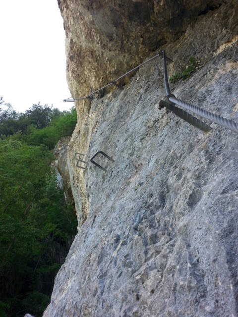
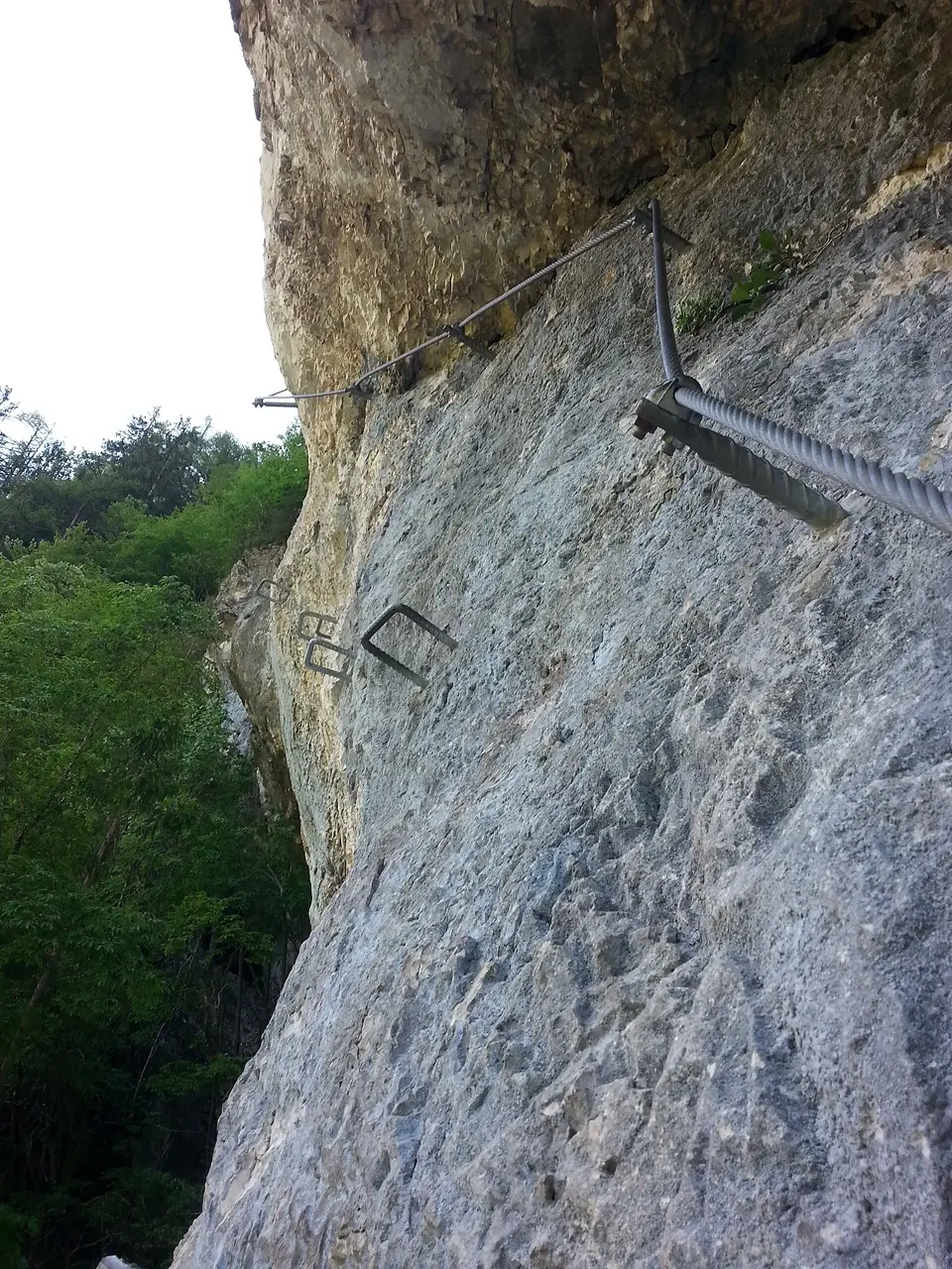
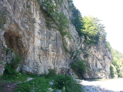
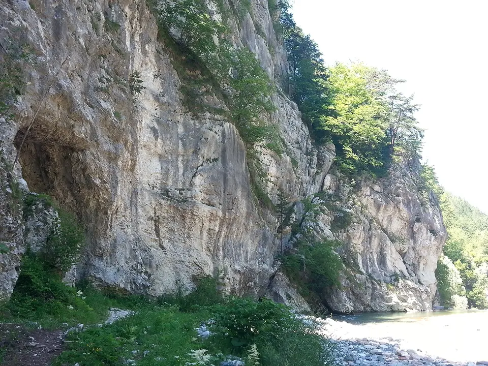
Just before Bad Eisenkappel, the Trobefelsen rock rises above the Vellach. The Christian-Koschlak-Gedenkklettersteig runs through it, a via ferrata named after the long-standing head of the local mountain rescue, who built the via ferratas here. The start is a minute’s walk from the via ferrata car park. Over about 130 metres of ascent and around 500 metres of steel cable, you climb across rock ledges, beams and a rope bridge and through a small cave up to the ruin of the Türkenschanze. The key sections are graded C, right at the cave there is a C/D variant, and many passages are easier (B/C and B).
The route takes about an hour, and the descent on a forest path back to the car park around 15 minutes. It fits nicely into half a day in Bad Eisenkappel or as a start to the season. You do need strength in your arms, though. Bring a via ferrata set, helmet and gloves. The more difficult Türkenkopf via ferrata and the short Speedy practice route start right next to it.
May–October (in dry weather)
Klettersteigparkplatz Trobefelsen an der Vellach, 9135 Bad Eisenkappel
At a glance
Difficulty C, variant C/D
Approx. 130 m of ascent, approx. 500 m of steel cable
Climbing time approx. 1 hour, descent approx. 15 min
Approach 1 min from the via ferrata car park on the Vellach (approx. 530 m)
Exit at the Türkenschanze ruin
Our tips
Don’t set off when it is wet – the rock becomes slippery.
If you are climbing for the first time, practise first on the Speedy via ferrata right next door.
“Speedy” practice via ferrata (Bad Eisenkappel)14 km · 47 min by bike · 15 min by carJust before Bad Eisenkappel, right on the bank of the Vellach, lies the small practice via ferrata “Speedy”.
Just before Bad Eisenkappel, right on the bank of the Vellach, lies the small practice via ferrata “Speedy”. It was built for practising: here you get used to your via ferrata set, cable protection and foot rungs before you venture onto longer routes. From the via ferrata car park it’s about a three-minute walk along the river to the start; the traverse itself takes around a quarter of an hour and climbs about 20 metres. You return the same way.
The protection, with a continuous 14 mm steel cable and steel staples, is very good; the hardest section (B/C) is roughly at the highest point of the traverse. This makes “Speedy” suitable for beginners and for children with via ferrata experience, accompanied by an adult. If you want more afterwards, the Koschlak via ferrata (C) starts at the same car park, and further downstream is the demanding Türkenkopf via ferrata (D/E). Bring full via ferrata equipment and a helmet.
May–October
Klettersteig-Parkplatz Trobefelsen, B82, 9135 Bad Eisenkappel
At a glance
Difficulty B/C, practice route
Approx. 20 m of climbing, climbing time approx. 15 min
Approach approx. 3 min from the car park on the Vellach
Freely accessible – closures after storms are announced by the municipality of Bad Eisenkappel
Our tips
Combine the practice route with the Koschlak via ferrata, which starts at the same car park.
Mountain rescue climbing sectors in Bad Eisenkappel16 km · 56 min by bike · 20 min by carBesides the large climbing crag at the Berghof Brunner, there are the mountain rescue (Bergrettung) sectors above Bad Eisenkappel, about 20 minutes’ walk from the Brunner sectors, at around 700 m above sea level.
Besides the large climbing crag at the Berghof Brunner, there are the mountain rescue (Bergrettung) sectors above Bad Eisenkappel, about 20 minutes’ walk from the Brunner sectors, at around 700 m above sea level. Five walls 15 to 35 m high offer around 40 routes from 4a to 8a, mainly face and slab climbing on solid, grippy limestone with edges, flakes and pockets. The routes have been completely re-bolted and are well protected; the starts are mostly at ground level or on small terraces.
The walls face south and are usually quieter than the sectors at the Berghof Brunner. In high summer it gets hot in the midday sun, so it’s best to climb early in the morning or late in the afternoon. From the lower-off you look out over Bad Eisenkappel. You need to bring your own equipment (rope, quickdraws, helmet). The area is suitable for climbers with lead-climbing experience.
March–November
Berghof Brunner, Lobnig, 9135 Bad Eisenkappel
At a glance
Around 40 routes, 4a to 8a
5 walls, 15–35 m high, south-facing
Solid, grippy limestone, routes newly re-bolted
Approach approx. 20 min from the sectors at the Berghof Brunner
Our tips
Park at the Berghof Brunner and ask there for the exact approach to the mountain rescue sectors.
Thanks to the southern aspect, the walls are also good for climbing on sunny spring and autumn days.
Walter-Mory-Klettersteig (Petzen)24 km · 29 min by carJust below the top station of the Petzen gondola runs the short but demanding Walter-Mory-Klettersteig (via ferrata).Discount with Aktiv Card
Just below the top station of the Petzen gondola runs the short but demanding Walter-Mory-Klettersteig (via ferrata). It is protected by steel cables almost all the way, and traverses and slabs are made easier with iron pegs. The start is at about 1,530 m, the exit at the fire pit below the top station at 1,695 m, and an intermediate exit at 1,600 m lets you finish early. The final section up a pillar is very steep. Allow around 45 minutes for the via ferrata itself and the same again for the approach.
The easiest way is to take the gondola up and descend via the Krischasteig (waymark P3/603) to the start. Without the gondola, the approach from the valley station would be very long compared with the short climb. Climbing harness, via ferrata set and helmet are compulsory, as are a sure foot and a head for heights. Less experienced climbers should also be belayed with a rope.
During the Petzen lifts’ summer operation, roughly June to October
Petzen Bergbahnen Talstation, 9143 Feistritz ob Bleiburg
At a glance
Difficulty C to C/D
Approx. 165 m of ascent, start 1,530 m, exit 1,695 m
Via ferrata approx. 45 min, approach approx. 45 min
Access by the Petzen gondola from Feistritz ob Bleiburg
Our tips
Avoid it after rain: the partly earthy ground then gets very slippery.
The via ferrata combines well with a summit hike to the Hochpetzen or the Knieps.
Via ferrata & climbing crag at Rabenstein castle ruin41 km · 48 min by carBelow the Rabenstein castle ruin, high above the Benedictine abbey of St. Paul im Lavanttal, lies a freely accessible Alpine Club climbing crag.
Below the Rabenstein castle ruin, high above the Benedictine abbey of St. Paul im Lavanttal, lies a freely accessible Alpine Club climbing crag. On the south-east face there are around 70 bolted sport-climbing routes from grade 4 to grade 10, and since 2021 a via ferrata has led up the castle rock on the left-hand part of the face. It has about 120 metres of ascent, is mostly B to B/C and only C at one short, steep spot. A small rope bridge and a long Nepal bridge add variety, and the protection is considered very good.
From the car park at the Gasthaus Rabensteiner you reach the start in about five minutes along a farm track; it is marked with a red circle with a cross. Allow around 45 minutes for the route; the descent from the ruin on the north side takes about ten minutes. It is well suited to beginners and families with children who have via ferrata experience. At the top you have a wide view over the Lavanttal and the abbey. Full via ferrata equipment with helmet is mandatory.
May–October (in dry weather)
Klettergarten Ruine Rabenstein, 9470 St. Paul im Lavanttal
At a glance
Via ferrata grade B/C, one section C
Approx. 120 m ascent, climbing time approx. 45 min, approx. 1 h in total
Climbing crag: around 70 routes, grades 4–10 (UIAA)
Freely accessible, no admission charge
Approach 5 min from the Gasthaus Rabensteiner car park
Our tips
When wet the route is slippery and not recommended – plan it for a dry day.
Afterwards a visit to Stift St. Paul with its art treasures just below is well worthwhile.
Gerlitzen Alpe & Kanzelbahn70 km · 56 min by carThe Gerlitzen (1,911 m) is the local mountain on the north shore of the Ossiacher See.Free with Kärnten Card
The Gerlitzen (1,911 m) is the local mountain on the north shore of the Ossiacher See. From the valley station in Annenheim (550 m) you take the Kanzelbahn I to the Kanzelhöhe (1,440 m) and from there the new 10-seater gondola Kanzelbahn II to just below the summit. Up top you look out over the Ossiacher See, Villach and the Wörthersee to the Karawanks and the Julian Alps. Hiking trails lead across alpine pastures to huts serving food and drink. In suitable weather, paragliders take off from the summit.
For families, the Kanzelhöhe has the Kinderland with summer tubing and a bungee trampoline, as well as a free Kids Bike Park with bike rental. On top of that there is a forest high-ropes course with 160 stations and ziplines from age 3, a mini golf course and a 3D archery course. Plan a whole day and take a jacket even in high summer.
Late May – early November
Kanzelbahn Talstation, Annenheim, 9520 Treffen am Ossiacher See
Kärnten Card: One free return trip per day on the Kanzelbahn, Moserbahn and Pöllingerbahn (normal price €38.50)
At a glance
Valley station 550 m, Kanzelhöhe 1,440 m, summit 1,911 m
Return trip to the summit: adults €36.50 / children €20.50, July–Aug €38.50 / €21.50 (as of 2026)
Kids Bike Park free, late May to early September 10:00–16:40
Kinderland with tubing and trampoline late June to mid-September
Autumn operation until early November
Our tips
Go up on a clear morning – that’s when you can see furthest.
Villacher Alpenstraße (Dobratsch)78 km · 1 h 5 min by carThe Villacher Alpenstraße, a toll road, winds up from the toll station on the edge of Villach for 16.5 kilometres and around 1,200 metres of ascent to the Rosstratte at over 1,700 metres.Free with Kärnten Card
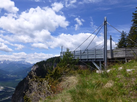
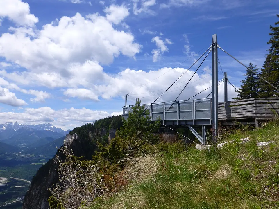
The Villacher Alpenstraße, a toll road, winds up from the toll station on the edge of Villach for 16.5 kilometres and around 1,200 metres of ascent to the Rosstratte at over 1,700 metres. Along the way there are several viewpoints and car parks; the stop at the Rote Wand is especially worthwhile: a viewing platform juts out over the sheer cliff edge of the Dobratsch and opens up the view into the Gailtal and to the Julian Alps. Near the Aichingerhütte lies the Villacher Alpe alpine garden with around 800 alpine plants.
From the Rosstratte you hike in the Naturpark Dobratsch (nature park) on wide paths to the summit, with its summit lodge and two churches, in about two hours; shorter loops across the alpine meadows are suitable for families too. Bring sturdy shoes, sun protection and a warm jacket – up there it is often much cooler and windier than in the valley.
Open to traffic all year (no driving at night); hiking and alpine garden in summer
Mautstelle Villacher Alpenstraße, 9500 Villach
Kärnten Card: Free use of the toll road once a day (passengers without a card €7), normal price per car €23.50
Naturpark Dobratsch – Schütt rockfall area80 km · 1 h 5 min by carOn 25 January 1348 an earthquake in Friuli set off a huge rockfall on the southern flank of the Dobratsch: some 150 million cubic metres of rock crashed down into the Gailtal.
On 25 January 1348 an earthquake in Friuli set off a huge rockfall on the southern flank of the Dobratsch: some 150 million cubic metres of rock crashed down into the Gailtal. The area where it came to rest, the Schütt, is today the largest rockfall area in the Eastern Alps and part of the Naturpark Dobratsch (nature park). Open pine woods grow between massive boulders, and above them you see the pale scar of the Rote Wand.
An easy, almost flat circular walk of a good 7.5 kilometres starts at the fire station in Oberschütt (Villach) and follows wide gravel tracks past the old bed of the Gail river and a weir from 1903 to the Almwirtschaft Schütt and back. Expect about two hours of walking; the route also suits families and dogs. Sturdy shoes and water are all you need, and you can stop for refreshments at the Almwirtschaft.
All year, at its best from spring to autumn
Freiwillige Feuerwehr Schütt, Schütter Straße 116, 9504 Villach-Oberschütt
At a glance
Rockfall on 25 January 1348, approx. 150 million m³ of rock
Largest rockfall area in the Eastern Alps, nature park since 2002
Circular walk from Oberschütt: approx. 7.7 km, approx. 2 h, about 70 m of ascent
Getting there: A2 exit Villach-Warmbad, then the L30 Schütter Straße
Our tips
The best view down onto the Schütt and the Rote Wand is from the viewing platform by the Alpengarten on the Villacher Alpenstraße.
The Jägersteig on the Dobratsch is currently closed because of storm damage – stay on the marked paths.
The Nockalmstraße links Ebene Reichenau with Innerkrems. Over some 35 kilometres and 52 hairpin bends it runs through the Biosphärenpark Nockberge (biosphere park), a landscape of rounded, grassy summits, alpine pastures and Swiss pine forests. Its two highest points are the Eisentalhöhe (2,049 m) and the Schiestelscharte (2,027 m). The gradient is never more than 12 per cent, and the road is easy to drive, so it also suits less experienced drivers, motorcyclists and cyclists. Without stopping it takes about 45 minutes; with breaks you should allow a whole day.
Along the way there are several alpine huts serving food and drink, nature trails, short walks, a healing spring at Karlbad and exhibitions on alpine farming and nature, including the Nockalmhof biosphere park centre. For children there are playgrounds and a children’s adventure world. From us, it is best to drive via Feldkirchen to Ebene Reichenau and start at the southern entrance there. At over 2,000 metres it is often much cooler and windier than at the lake, so take a warm jacket.
Alpengarten Villacher Alpe91 km · 1 h 15 min by carAt almost 1,500 metres, between the Villacher Alpenstraße and the drop to the Schütt, the Alpengarten Villacher Alpe grows a collection of more than 800 alpine plants in 27 plant areas on about one hectare – from edelweiss to rare species of the Southern Alps.
At almost 1,500 metres, between the Villacher Alpenstraße and the drop to the Schütt, the Alpengarten Villacher Alpe grows a collection of more than 800 alpine plants in 27 plant areas on about one hectare – from edelweiss to rare species of the Southern Alps. The plants are labelled, and information boards explain their habitats and special features.
It is only a few minutes’ walk from car park P6 “Rote Wand” on the toll road. 45 minutes to an hour is enough for a walk round; from the edge of the garden you look out at the Rote Wand and down into the Gailtal. The flowers are at their best in June and July. The visit combines well with a hike to the Dobratsch summit or a stop at the viewing platforms along the Alpenstraße. Bring a jacket – at this altitude it is cool even in summer.
Early June to late August
Alpengarten Villacher Alpe, Parkplatz P6, Villacher Alpenstraße, 9530 Bad Bleiberg
At a glance
More than 800 alpine plants in 27 areas
Altitude almost 1,500 m, at car park P6 on the Villacher Alpenstraße
Open early June to late August, daily 9:00–18:00
Small admission fee; toll on the Villacher Alpenstraße
Our tips
Come in June or July, when most species are in bloom.
With the Kärnten Card the Villacher Alpenstraße toll is free in summer, provided everyone in the car has a card.
Goldeck – cable car & panoramic road107 km · 1 h 25 min by carThe Goldeck (2,142 m) is the local mountain of Spittal an der Drau, towering over the Millstätter See and the Drava valley.Free with Kärnten Card
The Goldeck (2,142 m) is the local mountain of Spittal an der Drau, towering over the Millstätter See and the Drava valley. There are two ways up: the Talbahn takes you from Baldramsdorf to 1,780 metres, to the reservoir lake with the Seehütte. Alternatively, the toll road Goldeck Panoramastraße runs about 14.5 kilometres from Zlan in the municipality of Stockenboi to the Seetal car park at about 1,900 metres.
From the top station you climb to the summit on path no. 31. A lovely circuit follows the ridge to the Martennock and back via the Goldeckhütte; it takes three to four hours. On a clear day you can see as far as the Großglockner. In summer there is a tubing run at the top station. During the school holidays a free family programme runs on Mondays, Wednesdays and Fridays. The Goldeck is good for a whole day out, ideally combined with Spittal or the Millstätter See.
July – September (cable car), May – October (panoramic road)
Malta-Hochalmstraße & Kölnbreinsperre133 km · 1 h 40 min by carThe Malta-Hochalmstraße climbs 14.4 kilometres from the toll station near the Falleralm, through tunnels hewn into the rock and tight hairpin bends, up to the Kölnbreinsperre (dam) at 1,902 metres.Free with Kärnten Card
The Malta-Hochalmstraße climbs 14.4 kilometres from the toll station near the Falleralm, through tunnels hewn into the rock and tight hairpin bends, up to the Kölnbreinsperre (dam) at 1,902 metres. On the way you pass numerous waterfalls – the Maltatal is not called the “valley of tumbling waters” for nothing. On some single-lane sections traffic lights control the flow, and you may have to wait up to 20 minutes.
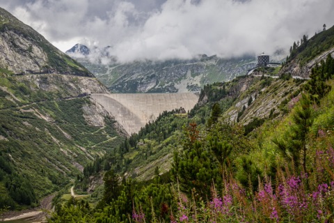
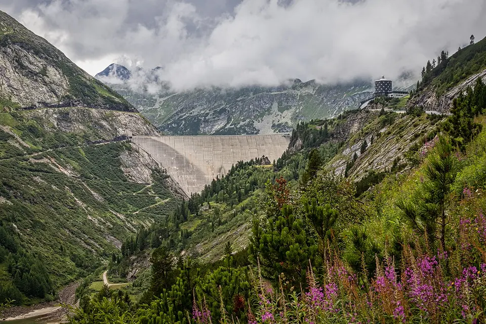
At the top stands Austria’s highest dam wall: 200 metres high and 626 metres wide, with the turquoise Kölnbrein reservoir behind it and the peaks of the Hohe Tauern. You can stroll along the top of the dam, step out onto the viewing platform, visit the exhibition on how the dam was built or join a guided dam tour. An easy footpath runs along the shore of the reservoir, and you can stop for food at the Berghotel Malta. Plan a whole day for the trip.
Early May to late October
Mautstelle Malta Hochalmstraße, Gasthaus Falleralm, 9854 Malta
Kärnten Card: Free use of the toll road once a day; passengers without a card €7 per person
At a glance
Toll road 14.4 km, up to 1,902 m
Dam wall 200 m high, 626 m wide
Open 8 May – 26 October 2026, daily 7:00–18:00 (as of 2026)
Toll-free once a day with the Kärnten Card (as of 2026)
Our tips
Bring warm clothes – at almost 2,000 m it is chilly even in summer.
In May and October, check the current road conditions on visit.verbund.com beforehand.
Haus der Steinböcke (House of the Ibex) in Heiligenblut187 km · 2 h 30 min by carIn the centre of Heiligenblut, at the foot of the Großglockner, the Hohe Tauern National Park presents the interactive exhibition “Der König und sein Thron” (“The King and His Throne”) in the Haus der Steinböcke.Free with Kärnten Card
In the centre of Heiligenblut, at the foot of the Großglockner, the Hohe Tauern National Park presents the interactive exhibition “Der König und sein Thron” (“The King and His Throne”) in the Haus der Steinböcke. In seven rooms on three levels you learn how the Alpine ibex lives in the high mountains, how it was almost wiped out and how it returned to the Hohe Tauern. The exhibition is vividly designed and well suited to children too; allow about an hour.
The house is in the village, not on the Großglockner Hochalpenstraße, but it fits well into a day trip there. In summer there is a guided tour every Friday at 17:00. Admission is free with the Kärnten Card and reduced with a Glockner road ticket. As it is a long drive, the visit is mainly worthwhile combined with the Großglockner Hochalpenstraße or a hike in the national park.
May to early November (closed Wednesdays); in winter from Christmas to early April
Hof 38, 9844 Heiligenblut am Großglockner
Kärnten Card: Free admission once a day (€10)
At a glance
Late season (from 14 September) 10:00–17:00
Guided tour Fridays at 17:00 (summer)
Admission adults €10, children €5, free with the Kärnten Card (as of 2026)
Our tips
Keep your Glockner road ticket – it gets you a discount here.
Don’t plan your visit for a Wednesday, when it is closed.
Großglockner Hochalpenstraße192 km · 2 h 35 min by carThe Großglockner Hochalpenstraße (high alpine road) runs for 48 kilometres with 36 hairpin bends from Heiligenblut in Carinthia over the Hochtor (2,504 m) to Fusch in Salzburg.Discount with Kärnten Card
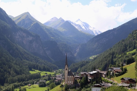
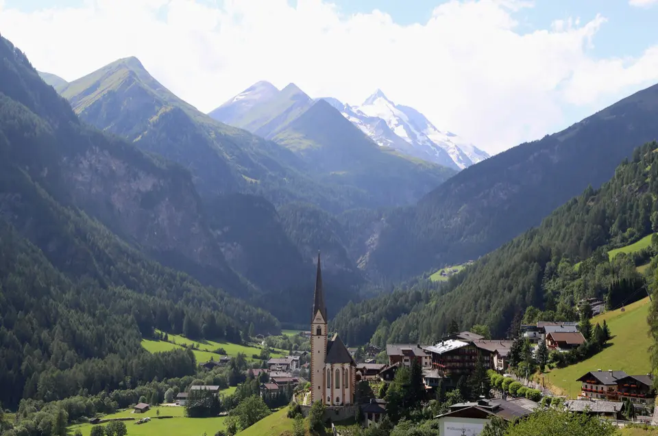
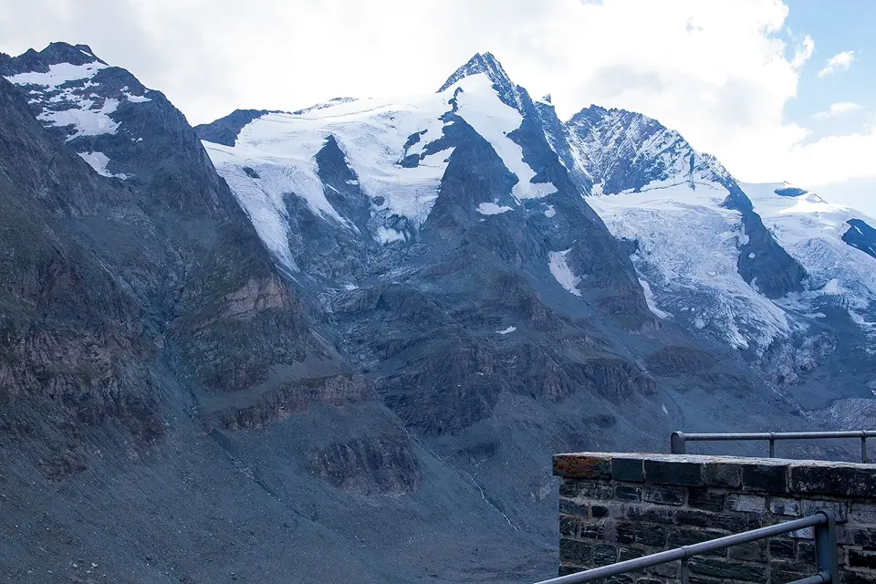
The Großglockner Hochalpenstraße (high alpine road) runs for 48 kilometres with 36 hairpin bends from Heiligenblut in Carinthia over the Hochtor (2,504 m) to Fusch in Salzburg. For guests coming from southern Carinthia, the goal is usually the Kaiser-Franz-Josefs-Höhe: from the viewing terrace at the visitor centre you look straight at the Großglockner, at 3,798 metres Austria’s highest mountain, and down onto the Pasterze, the longest glacier in the Eastern Alps. If you want to go even higher, take the spur road up to the Edelweißspitze (2,571 m).
Allow a whole day for this. The drive to the Heiligenblut toll station takes about two and a half hours, plus the mountain road itself and time for short walks, for example on the Gamsgrubenweg, where you often see marmots. Up there it is cool and windy even in high summer, so bring a warm jacket and good footwear. It is a toll road and is only open from early May to early November.
Early May – early November
Mautstelle Heiligenblut, Großglockner Hochalpenstraße, 9844 Heiligenblut am Großglockner
Kärnten Card: €4 off the car day ticket (€3 off for motorcycles)
At a glance
Length 48 km, 36 hairpin bends
Highest point: Edelweißspitze 2,571 m, Hochtor 2,504 m
Summer opening hours (1 June–31 August) 5:30–21:00, last entry 45 min before closing
Toll road, reduced autumn rate from mid-October
Our tips
Set off early: in the morning the Glockner is often free of cloud, and the car parks at the Kaiser-Franz-Josefs-Höhe are not yet full.
Check the live status and webcams on grossglockner.at before you leave – in bad weather the long drive is hardly worth it.
Distances and travel times from Lauchenholzer Straße 9, calculated with OpenStreetMap and rounded. Please check opening times, dates and prices on the official websites before you go – or ask us. Photos: the Jernej family and free licences – All image credits.